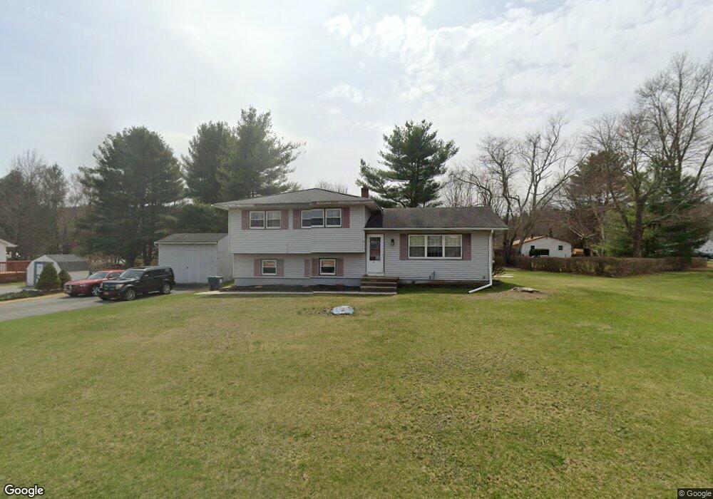
11 Maple Ln Westbrookville, NY 12785
Estimated Value: $318,000 - $378,399
3
Beds
2
Baths
1,152
Sq Ft
$302/Sq Ft
Est. Value
About This Home
This home is located at 11 Maple Ln, Westbrookville, NY 12785 and is currently estimated at $348,350, approximately $302 per square foot. 11 Maple Ln is a home with nearby schools including Port Jervis High School.
Ownership History
Date
Name
Owned For
Owner Type
Purchase Details
Closed on
Apr 5, 2001
Sold by
Altieri Aldo and Altieri Eileen C
Bought by
Hasher William J and Hasher Kimberly P
Current Estimated Value
Home Financials for this Owner
Home Financials are based on the most recent Mortgage that was taken out on this home.
Original Mortgage
$109,137
Outstanding Balance
$39,723
Interest Rate
6.85%
Mortgage Type
FHA
Estimated Equity
$308,627
Purchase Details
Closed on
Jul 31, 1997
Sold by
Zanca Sal and Cirnigliaro Maria
Bought by
Altieri Aldo and Altieri Eileen C
Create a Home Valuation Report for This Property
The Home Valuation Report is an in-depth analysis detailing your home's value as well as a comparison with similar homes in the area
Home Values in the Area
Average Home Value in this Area
Purchase History
| Date | Buyer | Sale Price | Title Company |
|---|---|---|---|
| Hasher William J | $111,000 | -- | |
| Altieri Aldo | $85,000 | -- |
Source: Public Records
Mortgage History
| Date | Status | Borrower | Loan Amount |
|---|---|---|---|
| Open | Hasher William J | $109,137 |
Source: Public Records
Tax History Compared to Growth
Tax History
| Year | Tax Paid | Tax Assessment Tax Assessment Total Assessment is a certain percentage of the fair market value that is determined by local assessors to be the total taxable value of land and additions on the property. | Land | Improvement |
|---|---|---|---|---|
| 2024 | $6,885 | $103,100 | $11,900 | $91,200 |
| 2023 | $6,885 | $103,100 | $11,900 | $91,200 |
| 2022 | $6,828 | $103,100 | $11,900 | $91,200 |
| 2021 | $6,710 | $103,100 | $11,900 | $91,200 |
| 2020 | $6,014 | $103,100 | $11,900 | $91,200 |
| 2019 | $6,137 | $103,100 | $11,900 | $91,200 |
| 2018 | $6,137 | $103,100 | $11,900 | $91,200 |
| 2017 | $6,056 | $103,100 | $11,900 | $91,200 |
| 2016 | $6,070 | $103,100 | $11,900 | $91,200 |
| 2015 | -- | $103,100 | $11,900 | $91,200 |
| 2014 | -- | $103,100 | $11,900 | $91,200 |
Source: Public Records
Map
Nearby Homes
- 1753 State Route 209
- 1610 State Route 209
- 143 Brandt Rd
- 145 Brandt Rd
- 141 Brandt Rd
- 6 Field Rd
- 1051 South Rd
- 411 Old Mountain Rd
- 9 Emboden Ave
- 31 State St
- 31 Highland Ave
- 42 Highland Ave
- LOT 3 Shoddy Hollow Rd
- LOT 2 Shoddy Hollow Rd
- LOT 1 Shoddy Hollow Rd
- 83 High Hope Dr
- 52 Shoddy Hollow Rd
- 19 Lewis St
- 226 Old Mountain Rd
- 242 Old Mountain Rd