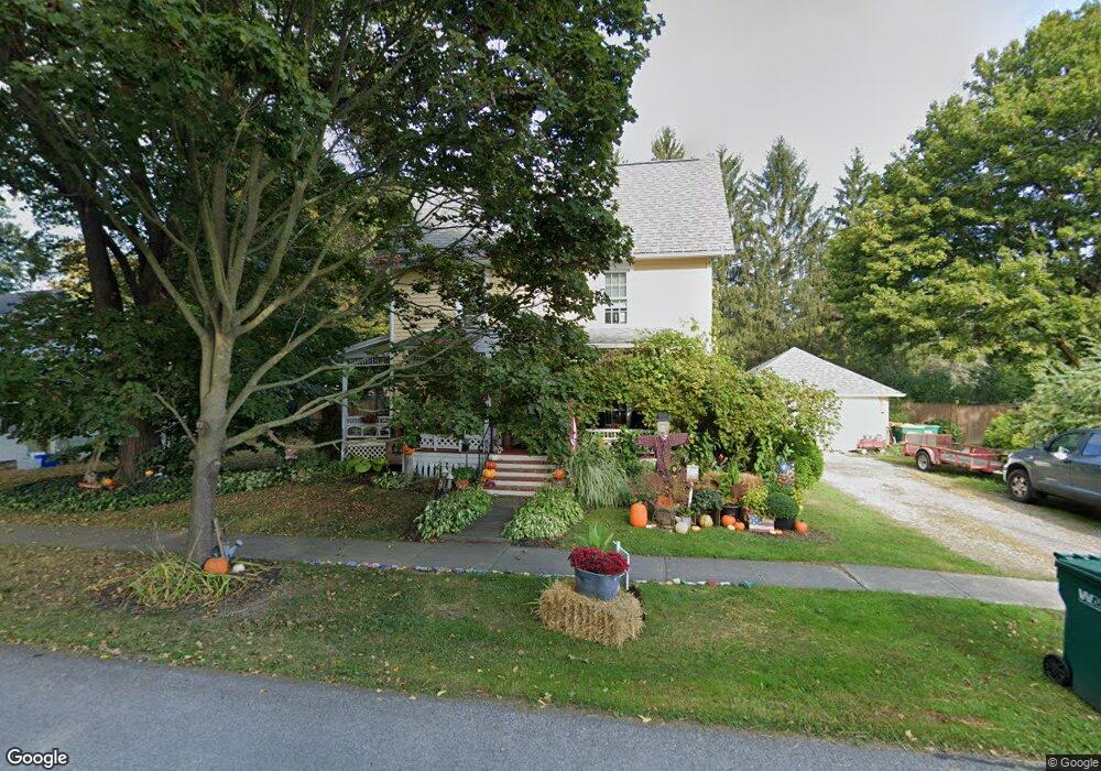
11 Maple St Wyoming, NY 14591
Estimated Value: $151,000 - $191,934
3
Beds
1
Bath
1,704
Sq Ft
$99/Sq Ft
Est. Value
About This Home
This home is located at 11 Maple St, Wyoming, NY 14591 and is currently estimated at $168,984, approximately $99 per square foot. 11 Maple St is a home located in Wyoming County with nearby schools including Wyoming Central School.
Ownership History
Date
Name
Owned For
Owner Type
Purchase Details
Closed on
Jun 28, 2010
Sold by
Mohanal Kovalam
Bought by
Dickes Brian
Current Estimated Value
Home Financials for this Owner
Home Financials are based on the most recent Mortgage that was taken out on this home.
Original Mortgage
$72,375
Outstanding Balance
$46,009
Interest Rate
5.12%
Mortgage Type
FHA
Estimated Equity
$122,975
Purchase Details
Closed on
Oct 17, 2003
Sold by
Mc Master Elizabeth M.
Bought by
Mohanlal Kovalam G
Purchase Details
Closed on
Nov 6, 2002
Sold by
Kersch Guy
Bought by
Mcmaster Elizabeth
Create a Home Valuation Report for This Property
The Home Valuation Report is an in-depth analysis detailing your home's value as well as a comparison with similar homes in the area
Home Values in the Area
Average Home Value in this Area
Purchase History
| Date | Buyer | Sale Price | Title Company |
|---|---|---|---|
| Dickes Brian | $75,000 | Jeffrey E Erickson | |
| Mohanlal Kovalam G | $70,000 | Dadd | |
| Mcmaster Elizabeth | $64,000 | Erickson |
Source: Public Records
Mortgage History
| Date | Status | Borrower | Loan Amount |
|---|---|---|---|
| Open | Dickes Brian | $72,375 |
Source: Public Records
Tax History
| Year | Tax Paid | Tax Assessment Tax Assessment Total Assessment is a certain percentage of the fair market value that is determined by local assessors to be the total taxable value of land and additions on the property. | Land | Improvement |
|---|---|---|---|---|
| 2024 | $4,864 | $124,600 | $8,700 | $115,900 |
| 2023 | $49 | $124,600 | $8,700 | $115,900 |
| 2022 | $4,665 | $124,600 | $8,700 | $115,900 |
| 2021 | $4,629 | $124,600 | $8,700 | $115,900 |
| 2020 | $3,855 | $96,000 | $11,700 | $84,300 |
| 2019 | $3,632 | $96,000 | $11,700 | $84,300 |
| 2018 | $3,632 | $96,000 | $11,700 | $84,300 |
| 2017 | $3,255 | $96,000 | $11,700 | $84,300 |
| 2016 | $2,092 | $80,100 | $11,700 | $68,400 |
| 2015 | -- | $80,100 | $11,700 | $68,400 |
| 2014 | -- | $78,100 | $11,700 | $66,400 |
Source: Public Records
Map
Nearby Homes
- 169 Main St
- 1153 Wyoming Rd
- 1470 State Route 19
- 11139 Lake St
- 11084 Lake St
- 6139 State Route 20a E
- 37 State St
- 0 Wyoming St
- 200 Wyoming St
- 30 Park St
- 10 View St
- 63 Prospect St
- 7094 State Route 20a
- 248 S Main St
- 5723 Ellicott Street Rd
- V/L Broadway Rd
- 5691 Ellicott Street Rd
- 5287 Martinville Rd
- V/L Dry Bridge Rd
- 10 Simmons Rd
Your Personal Tour Guide
Ask me questions while you tour the home.