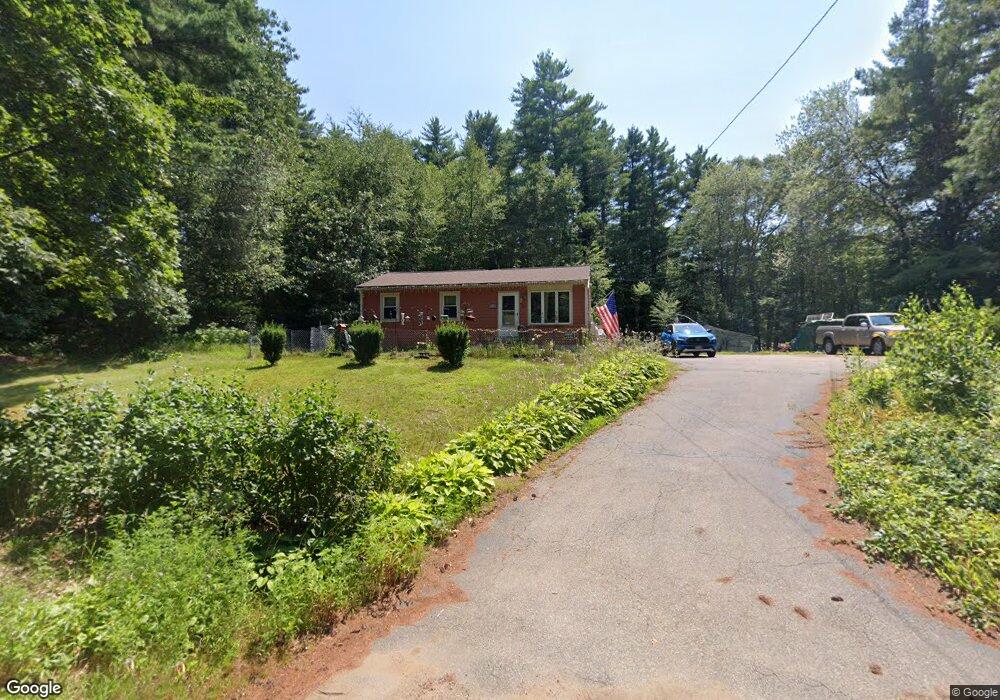
11 Mashapaug Rd Sturbridge, MA 01566
Estimated Value: $329,000 - $372,000
3
Beds
1
Bath
888
Sq Ft
$394/Sq Ft
Est. Value
About This Home
This home is located at 11 Mashapaug Rd, Sturbridge, MA 01566 and is currently estimated at $349,788, approximately $393 per square foot. 11 Mashapaug Rd is a home located in Worcester County with nearby schools including Burgess Elementary School, Tantasqua Regional Junior High School, and Tantasqua Regional High School.
Create a Home Valuation Report for This Property
The Home Valuation Report is an in-depth analysis detailing your home's value as well as a comparison with similar homes in the area
Home Values in the Area
Average Home Value in this Area
Tax History Compared to Growth
Tax History
| Year | Tax Paid | Tax Assessment Tax Assessment Total Assessment is a certain percentage of the fair market value that is determined by local assessors to be the total taxable value of land and additions on the property. | Land | Improvement |
|---|---|---|---|---|
| 2025 | $4,311 | $270,600 | $84,500 | $186,100 |
| 2024 | $3,959 | $240,100 | $82,800 | $157,300 |
| 2023 | $3,733 | $206,600 | $71,900 | $134,700 |
| 2022 | $3,581 | $187,000 | $64,900 | $122,100 |
| 2021 | $3,174 | $166,900 | $61,900 | $105,000 |
| 2020 | $3,174 | $166,900 | $61,900 | $105,000 |
| 2019 | $2,903 | $151,600 | $63,600 | $88,000 |
| 2018 | $2,819 | $145,000 | $60,500 | $84,500 |
| 2017 | $2,691 | $138,700 | $58,400 | $80,300 |
| 2016 | $2,663 | $138,600 | $56,600 | $82,000 |
| 2015 | $2,619 | $136,100 | $56,600 | $79,500 |
Source: Public Records
Map
Nearby Homes
- 13 Mashapaug Rd
- Lot 1-22 Mashapaug Rd
- 14 Mashapaug Rd
- 15 Mashapaug Rd
- 16 Mashapaug Rd
- 560 Mashapaug Road Rte 15
- 12 Mashapaug Rd
- 17 Mashapaug Rd
- LOT 10 Mashapaug Rd
- 9 Mashapaug Rd
- 9 Mashapaug Rd
- 18 Mashapaug Rd
- 5 Mashapaug Rd
- Lot Mashapaug Rd
- 20 Mashapaug Rd
- 20 Mashapaug Rd
- 1 Breakneck Rd
- 1 Breakneck Rd
- 19 Mashapaug Rd Unit C29
- 24 Mashapaug Rd