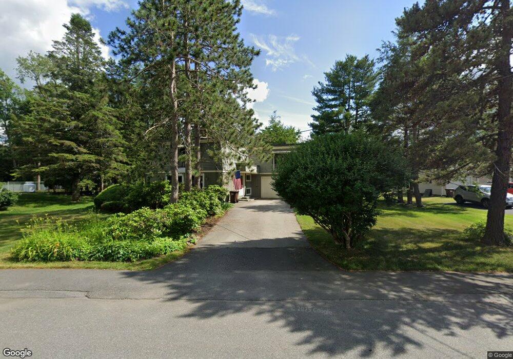
11 Mayfield Rd Auburn, MA 01501
Stoneville NeighborhoodEstimated Value: $559,000 - $640,000
3
Beds
3
Baths
2,436
Sq Ft
$245/Sq Ft
Est. Value
About This Home
This home is located at 11 Mayfield Rd, Auburn, MA 01501 and is currently estimated at $595,854, approximately $244 per square foot. 11 Mayfield Rd is a home located in Worcester County with nearby schools including Auburn Senior High School and St Peter Central Catholic Elementary School.
Ownership History
Date
Name
Owned For
Owner Type
Purchase Details
Closed on
Feb 10, 2022
Sold by
Quinn Judith L
Bought by
Jones Patrick L
Current Estimated Value
Purchase Details
Closed on
Mar 23, 1994
Sold by
Fuller Wayne G and Federal Home Loan Mortgage Cor
Bought by
Quinn Peter M
Home Financials for this Owner
Home Financials are based on the most recent Mortgage that was taken out on this home.
Original Mortgage
$38,750
Interest Rate
7.15%
Mortgage Type
Purchase Money Mortgage
Create a Home Valuation Report for This Property
The Home Valuation Report is an in-depth analysis detailing your home's value as well as a comparison with similar homes in the area
Home Values in the Area
Average Home Value in this Area
Purchase History
| Date | Buyer | Sale Price | Title Company |
|---|---|---|---|
| Jones Patrick L | -- | None Available | |
| Quinn Peter M | $55,500 | -- |
Source: Public Records
Mortgage History
| Date | Status | Borrower | Loan Amount |
|---|---|---|---|
| Previous Owner | Quinn Peter M | $117,000 | |
| Previous Owner | Quinn Peter M | $125,000 | |
| Previous Owner | Quinn Peter M | $46,600 | |
| Previous Owner | Quinn Peter M | $38,750 |
Source: Public Records
Tax History Compared to Growth
Tax History
| Year | Tax Paid | Tax Assessment Tax Assessment Total Assessment is a certain percentage of the fair market value that is determined by local assessors to be the total taxable value of land and additions on the property. | Land | Improvement |
|---|---|---|---|---|
| 2025 | $63 | $444,100 | $127,400 | $316,700 |
| 2024 | $6,862 | $459,600 | $121,900 | $337,700 |
| 2023 | $6,609 | $416,200 | $110,800 | $305,400 |
| 2022 | $6,260 | $372,200 | $110,800 | $261,400 |
| 2021 | $6,115 | $337,100 | $97,800 | $239,300 |
| 2020 | $5,935 | $330,100 | $97,800 | $232,300 |
| 2019 | $3,538 | $307,600 | $96,900 | $210,700 |
| 2018 | $5,538 | $300,300 | $90,600 | $209,700 |
| 2017 | $5,353 | $291,900 | $82,200 | $209,700 |
| 2016 | $5,246 | $290,000 | $85,500 | $204,500 |
| 2015 | $4,733 | $274,200 | $85,500 | $188,700 |
| 2014 | $4,613 | $266,800 | $81,500 | $185,300 |
Source: Public Records
Map
Nearby Homes
- 13 Mayfield Rd
- 9 Mayfield Rd
- 6 Briarcliff Dr
- 8 Briarcliff Dr
- 4 Briarcliff Dr
- 15 Mayfield Rd
- 8 Mayfield Rd
- 10 Briarcliff Dr
- 10 Mayfield Rd
- 12 Mayfield Rd
- 4 Mayfield Rd
- 17 Mayfield Rd
- 7 Briarcliff Dr
- 7 Briarcliff Dr
- 150 Bryn Mawr Ave
- 5 Briarcliff Dr
- 12 Briarcliff Dr
- 9 Inwood Rd
- 7 Inwood Rd
- 152 Bryn Mawr Ave