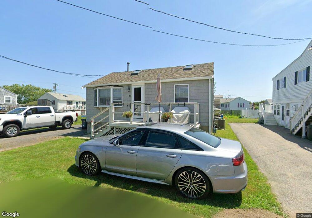
11 Mcarthur Ln Marshfield, MA 02050
Ocean Bluff-Brant Rock NeighborhoodEstimated Value: $471,000 - $504,000
2
Beds
1
Bath
644
Sq Ft
$751/Sq Ft
Est. Value
About This Home
This home is located at 11 Mcarthur Ln, Marshfield, MA 02050 and is currently estimated at $483,779, approximately $751 per square foot. 11 Mcarthur Ln is a home located in Plymouth County with nearby schools including Daniel Webster, Furnace Brook Middle School, and Marshfield High School.
Ownership History
Date
Name
Owned For
Owner Type
Purchase Details
Closed on
Oct 1, 1999
Sold by
Grenham Rosemary
Bought by
Georgoudis Emmanuel and Georgoudis Christine E
Current Estimated Value
Purchase Details
Closed on
Oct 20, 1989
Sold by
Murphy Margaret
Bought by
Chaisson Rosemary
Create a Home Valuation Report for This Property
The Home Valuation Report is an in-depth analysis detailing your home's value as well as a comparison with similar homes in the area
Home Values in the Area
Average Home Value in this Area
Purchase History
| Date | Buyer | Sale Price | Title Company |
|---|---|---|---|
| Georgoudis Emmanuel | $135,000 | -- | |
| Georgoudis Emmanuel | $135,000 | -- | |
| Chaisson Rosemary | $108,000 | -- |
Source: Public Records
Mortgage History
| Date | Status | Borrower | Loan Amount |
|---|---|---|---|
| Open | Chaisson Rosemary | $159,000 | |
| Closed | Chaisson Rosemary | $30,000 | |
| Closed | Chaisson Rosemary | $180,000 |
Source: Public Records
Tax History Compared to Growth
Tax History
| Year | Tax Paid | Tax Assessment Tax Assessment Total Assessment is a certain percentage of the fair market value that is determined by local assessors to be the total taxable value of land and additions on the property. | Land | Improvement |
|---|---|---|---|---|
| 2025 | $4,310 | $435,400 | $317,600 | $117,800 |
| 2024 | $4,243 | $408,400 | $297,800 | $110,600 |
| 2023 | $4,027 | $358,600 | $268,000 | $90,600 |
| 2022 | $4,027 | $311,000 | $228,300 | $82,700 |
| 2021 | $3,867 | $293,200 | $218,400 | $74,800 |
| 2020 | $3,459 | $259,500 | $188,600 | $70,900 |
| 2019 | $3,420 | $255,600 | $188,600 | $67,000 |
| 2018 | $3,417 | $255,600 | $188,600 | $67,000 |
| 2017 | $3,209 | $233,900 | $178,700 | $55,200 |
| 2016 | $3,108 | $223,900 | $168,700 | $55,200 |
| 2015 | $2,976 | $223,900 | $168,700 | $55,200 |
| 2014 | $3,006 | $226,200 | $168,700 | $57,500 |
Source: Public Records
Map
Nearby Homes
- 5 Mcarthur Ln
- 397 Plymouth Ave
- 19 Mcarthur Ln
- 399 Plymouth Ave
- 8 Johnson Terrace
- 12 Johnson Terrace
- 2 Johnson Terrace
- 8 Mcarthur Ln
- 23 Mcarthur Ln
- 18 Mcarthur Ln
- 2 Mcarthur Ln
- 16 Johnson Terrace
- 16 Johnson Terrace Unit 1
- 27 Macarthur Ln Unit Winter
- 27 Mcarthur Ln Unit WINTER
- 27 Mcarthur Ln
- 35 Roosevelt Rd
- 20 Johnson Terrace
- 417 Plymouth Ave
- 417 Plymouth Ave Unit Winter