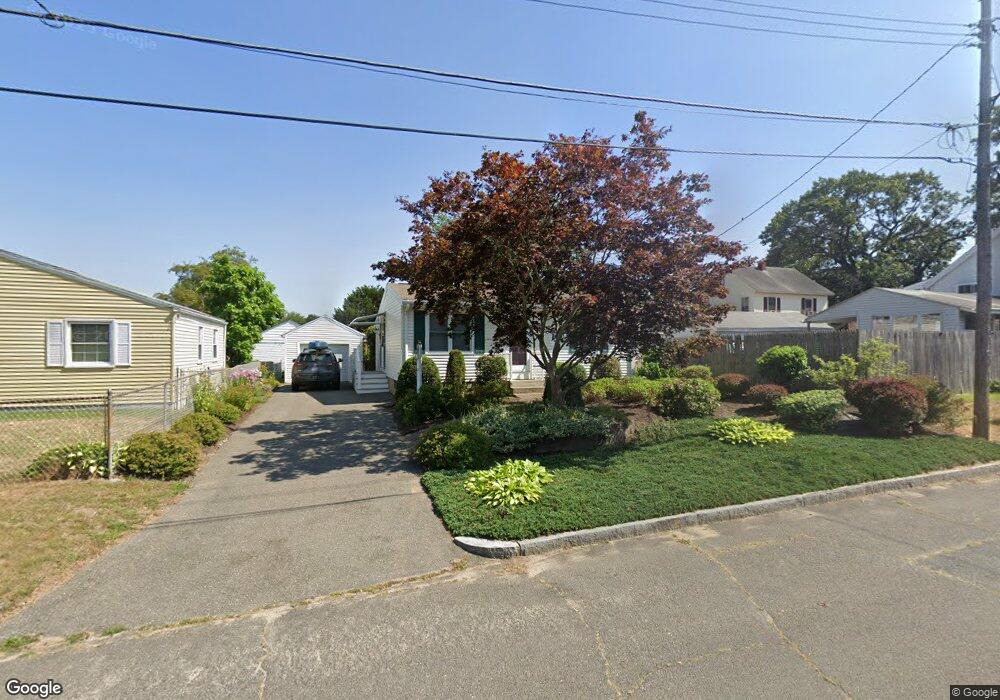
11 Mcbride St Springfield, MA 01104
Liberty Heights NeighborhoodEstimated Value: $228,000 - $272,000
2
Beds
1
Bath
724
Sq Ft
$344/Sq Ft
Est. Value
About This Home
This home is located at 11 Mcbride St, Springfield, MA 01104 and is currently estimated at $249,127, approximately $344 per square foot. 11 Mcbride St is a home located in Hampden County with nearby schools including Mary O. Pottenger Elementary School, Van Sickle Academy, and Springfield Central High School.
Ownership History
Date
Name
Owned For
Owner Type
Purchase Details
Closed on
Nov 29, 1991
Sold by
Trites Bernadette E
Bought by
Normand Paul L
Current Estimated Value
Create a Home Valuation Report for This Property
The Home Valuation Report is an in-depth analysis detailing your home's value as well as a comparison with similar homes in the area
Home Values in the Area
Average Home Value in this Area
Purchase History
| Date | Buyer | Sale Price | Title Company |
|---|---|---|---|
| Normand Paul L | $75,000 | -- |
Source: Public Records
Mortgage History
| Date | Status | Borrower | Loan Amount |
|---|---|---|---|
| Open | Normand Paul L | $51,035 | |
| Closed | Normand Paul L | $6,886 | |
| Closed | Normand Paul L | $5,500 | |
| Closed | Normand Paul L | $7,513 |
Source: Public Records
Tax History
| Year | Tax Paid | Tax Assessment Tax Assessment Total Assessment is a certain percentage of the fair market value that is determined by local assessors to be the total taxable value of land and additions on the property. | Land | Improvement |
|---|---|---|---|---|
| 2025 | $3,522 | $224,600 | $37,200 | $187,400 |
| 2024 | $3,225 | $200,800 | $37,200 | $163,600 |
| 2023 | $2,989 | $175,300 | $32,900 | $142,400 |
| 2022 | $3,100 | $164,700 | $30,800 | $133,900 |
| 2021 | $2,878 | $152,300 | $28,000 | $124,300 |
| 2020 | $2,529 | $129,500 | $28,000 | $101,500 |
| 2019 | $2,405 | $122,200 | $30,500 | $91,700 |
| 2018 | $2,366 | $120,200 | $30,500 | $89,700 |
| 2017 | $2,279 | $115,900 | $27,600 | $88,300 |
| 2016 | $2,157 | $109,700 | $26,100 | $83,600 |
| 2015 | $2,057 | $104,600 | $26,100 | $78,500 |
Source: Public Records
Map
Nearby Homes
- 33 Drexel St
- 52 Vadnais St
- 9 Utica St
- 34 Savoy Ave Unit 36
- 119 Littleton St
- 27 Parallel St
- 35 Merrimac Ave
- 28 Porter St
- 49 Upland St
- 73 Melville
- 393 Saint James Ave
- 491-493 Newbury St
- 59 Piedmont St
- 17 Stuyvesant St
- 774-776 Liberty St
- 148 Yale St
- 106 Amherst St
- 744-746 Carew St
- 708-710 Carew St
- 878-880 Saint James Ave
- 17 Mcbride St
- 251 Nottingham St
- 253 Nottingham St
- 247 Nottingham St
- 14 Ellen St
- 20 Ellen St
- V/L Mc Bride St
- 241 Nottingham St Unit 243
- 27 Mcbride St
- 267 Nottingham St
- 12 Mcbride St Unit 14
- 12 Mc Bride St
- 24 Ellen St
- 20 Mcbride St Unit 22
- 20-22 Mcbride St
- 273 Nottingham St
- 28 Mcbride St
- 146 Parallel St
- 174 Middle St
- 164 Middle St
Your Personal Tour Guide
Ask me questions while you tour the home.