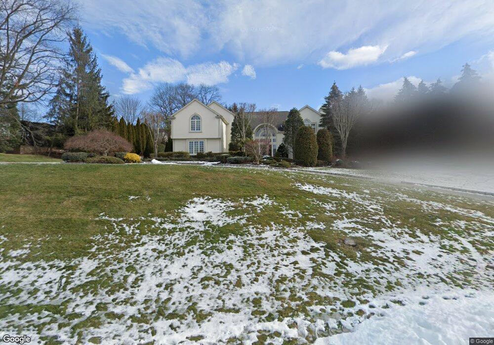
11 Mcgrath Dr Cresskill, NJ 07626
Estimated Value: $2,881,981 - $3,088,000
Studio
--
Bath
6,529
Sq Ft
$461/Sq Ft
Est. Value
About This Home
This home is located at 11 Mcgrath Dr, Cresskill, NJ 07626 and is currently estimated at $3,008,994, approximately $460 per square foot. 11 Mcgrath Dr is a home located in Bergen County with nearby schools including Cresskill High School, Spring School, and Lubavitch On The Palisades.
Ownership History
Date
Name
Owned For
Owner Type
Purchase Details
Closed on
Sep 30, 1999
Sold by
Brusco Michael and Brusco James
Bought by
Thiagarajah Somasundaram and Thiagarajah Yogasaundari
Current Estimated Value
Home Financials for this Owner
Home Financials are based on the most recent Mortgage that was taken out on this home.
Original Mortgage
$980,000
Interest Rate
7.81%
Purchase Details
Closed on
Dec 20, 1995
Sold by
Adler Alan
Bought by
Brusco Michael and Brusco James
Create a Home Valuation Report for This Property
The Home Valuation Report is an in-depth analysis detailing your home's value as well as a comparison with similar homes in the area
Home Values in the Area
Average Home Value in this Area
Purchase History
| Date | Buyer | Sale Price | Title Company |
|---|---|---|---|
| Thiagarajah Somasundaram | $1,400,000 | -- | |
| Brusco Michael | $550,000 | -- |
Source: Public Records
Mortgage History
| Date | Status | Borrower | Loan Amount |
|---|---|---|---|
| Closed | Thiagarajah Somasundaram | $980,000 |
Source: Public Records
Tax History
| Year | Tax Paid | Tax Assessment Tax Assessment Total Assessment is a certain percentage of the fair market value that is determined by local assessors to be the total taxable value of land and additions on the property. | Land | Improvement |
|---|---|---|---|---|
| 2025 | $47,946 | $2,167,000 | $448,600 | $1,718,400 |
| 2024 | $47,211 | $2,084,600 | $427,500 | $1,657,100 |
| 2023 | $46,559 | $2,034,100 | $418,500 | $1,615,600 |
| 2022 | $46,559 | $1,934,300 | $381,500 | $1,552,800 |
| 2021 | $46,044 | $1,885,500 | $375,500 | $1,510,000 |
| 2020 | $45,841 | $1,884,900 | $373,000 | $1,511,900 |
| 2019 | $44,787 | $1,860,700 | $371,500 | $1,489,200 |
| 2018 | $34,032 | $2,018,500 | $366,500 | $1,652,000 |
| 2017 | $47,621 | $1,749,500 | $502,700 | $1,246,800 |
| 2016 | $49,949 | $1,891,300 | $502,700 | $1,388,600 |
| 2015 | $48,398 | $1,891,300 | $502,700 | $1,388,600 |
| 2014 | $46,942 | $1,891,300 | $502,700 | $1,388,600 |
Source: Public Records
Map
Nearby Homes
- 56 Huyler Landing Rd
- 21 Mcgrath Dr
- 66 Huyler Landing Rd
- 20 Mcgrath Dr
- 14 Mcgrath Dr
- 10 Mcgrath Dr
- 29 Mcgrath Dr
- 113 Hoover Dr
- 125 Hoover Dr
- 59 Huyler Landing Rd
- 28 Mcgrath Dr
- 129 Hoover Dr
- 53 Huyler Landing Rd
- 40 Huyler Landing Rd
- 105 Hoover Dr
- 11 Fairway Ct
- 5 S Pond Rd
- 47 Huyler Landing Rd
- 37 Mcgrath Dr
- 36 Mcgrath Dr
Your Personal Tour Guide
Ask me questions while you tour the home.