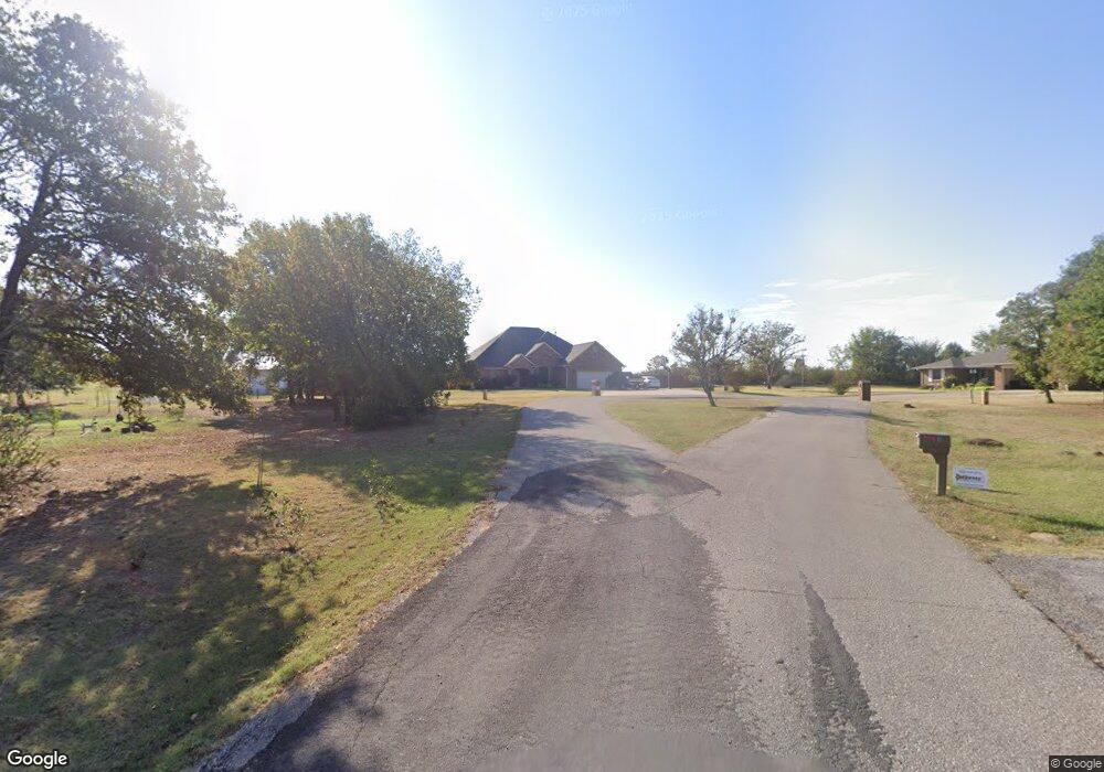
11 Melanie Ln Shawnee, OK 74801
Estimated Value: $338,000 - $450,000
3
Beds
2
Baths
2,565
Sq Ft
$158/Sq Ft
Est. Value
About This Home
This home is located at 11 Melanie Ln, Shawnee, OK 74801 and is currently estimated at $405,550, approximately $158 per square foot. 11 Melanie Ln is a home with nearby schools including Earlsboro Elementary School and Earlsboro High School.
Ownership History
Date
Name
Owned For
Owner Type
Purchase Details
Closed on
Oct 13, 2017
Sold by
Duncan Robert Bradley and Duncan Tonya Kay
Bought by
Jones Brent and Jones Annika
Current Estimated Value
Home Financials for this Owner
Home Financials are based on the most recent Mortgage that was taken out on this home.
Original Mortgage
$247,225
Outstanding Balance
$169,206
Interest Rate
3.82%
Mortgage Type
Future Advance Clause Open End Mortgage
Estimated Equity
$236,344
Create a Home Valuation Report for This Property
The Home Valuation Report is an in-depth analysis detailing your home's value as well as a comparison with similar homes in the area
Home Values in the Area
Average Home Value in this Area
Purchase History
| Date | Buyer | Sale Price | Title Company |
|---|---|---|---|
| Jones Brent | -- | None Available |
Source: Public Records
Mortgage History
| Date | Status | Borrower | Loan Amount |
|---|---|---|---|
| Open | Jones Brent | $247,225 |
Source: Public Records
Tax History Compared to Growth
Tax History
| Year | Tax Paid | Tax Assessment Tax Assessment Total Assessment is a certain percentage of the fair market value that is determined by local assessors to be the total taxable value of land and additions on the property. | Land | Improvement |
|---|---|---|---|---|
| 2025 | $3,409 | $38,917 | $1,890 | $37,027 |
| 2024 | $3,456 | $33,086 | $1,800 | $31,286 |
| 2023 | $3,456 | $33,086 | $1,800 | $31,286 |
| 2022 | $3,395 | $33,086 | $1,800 | $31,286 |
| 2021 | $3,334 | $33,086 | $1,800 | $31,286 |
| 2020 | $3,316 | $32,815 | $1,800 | $31,015 |
| 2019 | $3,426 | $32,815 | $1,800 | $31,015 |
| 2018 | $3,377 | $33,000 | $1,800 | $31,200 |
| 2017 | $2,114 | $21,947 | $873 | $21,074 |
| 2016 | $2,072 | $21,308 | $844 | $20,464 |
| 2015 | $1,969 | $20,687 | $765 | $19,922 |
| 2014 | $1,909 | $20,085 | $777 | $19,308 |
Source: Public Records
Map
Nearby Homes
- 44630 Kingsbury
- 44508 Kingsbury Ln
- 00 Allyson Ln
- 20302 Kings Rd
- 00 S Rock Creek Rd
- 18509 Brangus Rd
- 45201 Hardesty Rd
- 00 Charleston Pointe
- 45210 Hardesty Rd
- 44303 Hardesty Rd
- 00 Hardesty Rd 15 Acres
- 46500 Bob Crouch Rd
- 0000 State Hwy 9
- 17701 S Rock Creek Rd
- 21024 Kings Rd
- 19553 Crosslin Rd
- 21427 S Rock Creek Rd
- 21198 Turquoise Trail
- 00 Benson Park Rd
- 43252 Highway 9