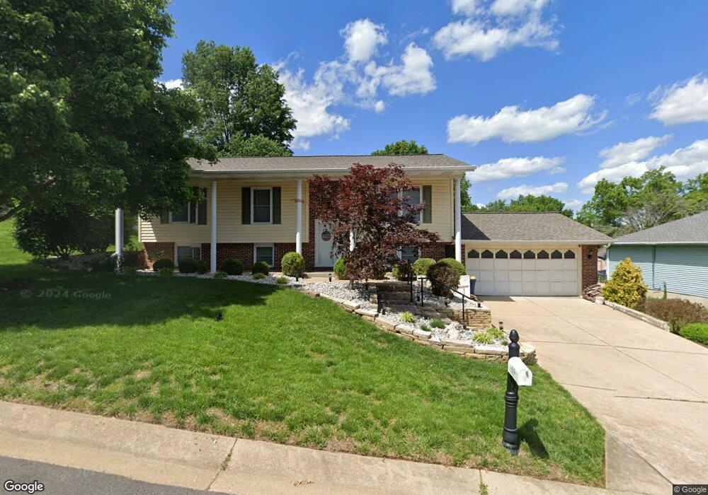
11 Mike Alan Dr Washington, MO 63090
Estimated Value: $275,149 - $311,000
3
Beds
1
Bath
1,226
Sq Ft
$246/Sq Ft
Est. Value
About This Home
This home is located at 11 Mike Alan Dr, Washington, MO 63090 and is currently estimated at $301,287, approximately $245 per square foot. 11 Mike Alan Dr is a home located in Franklin County with nearby schools including Washington High School, Our Lady of Lourdes Catholic School, and St. Francis Borgia Catholic School.
Ownership History
Date
Name
Owned For
Owner Type
Purchase Details
Closed on
Dec 15, 2022
Sold by
Maniaci Joseph A and Maniaci Karen S
Bought by
Pohl Bradley Edward
Current Estimated Value
Home Financials for this Owner
Home Financials are based on the most recent Mortgage that was taken out on this home.
Original Mortgage
$196,000
Outstanding Balance
$189,922
Interest Rate
6.95%
Mortgage Type
New Conventional
Estimated Equity
$111,365
Create a Home Valuation Report for This Property
The Home Valuation Report is an in-depth analysis detailing your home's value as well as a comparison with similar homes in the area
Home Values in the Area
Average Home Value in this Area
Purchase History
We collect this data history from publicly available records. To have your information removed, we recommend requesting removal directly through your county’s website.
| Date | Buyer | Sale Price | Title Company |
|---|---|---|---|
| Pohl Bradley Edward | -- | -- |
Source: Public Records
Mortgage History
We collect this data history from publicly available records. To have your information removed, we recommend requesting removal directly through your county’s website.
| Date | Status | Borrower | Loan Amount |
|---|---|---|---|
| Open | Pohl Bradley Edward | $196,000 |
Source: Public Records
Tax History
| Year | Tax Paid | Tax Assessment Tax Assessment Total Assessment is a certain percentage of the fair market value that is determined by local assessors to be the total taxable value of land and additions on the property. | Land | Improvement |
|---|---|---|---|---|
| 2025 | $2,275 | $40,829 | $0 | $0 |
| 2024 | $2,275 | $33,660 | $0 | $0 |
| 2023 | $1,910 | $33,660 | $0 | $0 |
| 2022 | $1,828 | $32,171 | $0 | $0 |
| 2021 | $1,823 | $32,171 | $0 | $0 |
| 2020 | $1,734 | $29,471 | $0 | $0 |
| 2019 | $1,731 | $29,471 | $0 | $0 |
| 2018 | $1,678 | $28,361 | $0 | $0 |
| 2017 | $1,676 | $28,361 | $0 | $0 |
| 2016 | $1,560 | $26,866 | $0 | $0 |
| 2015 | $1,559 | $26,866 | $0 | $0 |
| 2014 | $1,572 | $27,100 | $0 | $0 |
Source: Public Records
Map
Nearby Homes
- 101 Wenona Dr
- 3 Wenona Dr
- 26 Rabbit Trail Dr
- 3317 Timber Creek Dr Unit 195 STB
- 191 Timber Crest Unit 191 STB
- 3321 Timber Creek Dr Unit 196 STB
- 2281 Jubilee Ln
- 2802 Tayson Way
- 2321 Hank's Close Rd Unit 185 STB
- 167 Pellin's Unit 167 STB
- 192 Timber Crest Rd Unit 192 STB
- 2320 Hank's Close Unit 176 STB
- 2995 Halls Green Dr
- 154 Pellins Ct Unit 154 STB
- 173 Hank's Close Unit 173 STB
- 2320 Pellin's Ct Unit 152
- 2799 N Crest Dr
- 177 Hank's Close Unit 177 STB
- 2999 Halls Green Dr
- 2328 Hank's Close Ct Unit 178 STB
- 9 Mike Alan Dr
- 13 Mike Alan Dr
- 9 Millicent Ct
- 7 Mike Alan Dr
- 15 Mike Alan Dr
- 15 Rebecca Ct
- 20 Mike Alan Dr
- 13 Rebecca Ct
- 22 Mike Alan Dr
- 5 Mike Alan Dr
- 11 Millicent Ct
- 17 Mike Alan Dr
- 7 Millicent Ct
- 14 Mike Alan Dr
- 16 Mike Alan Dr
- 24 Mike Alan Dr
- 17 Rebecca Ct
- 26 Mike Alan Dr
- 10 Mike Alan Dr
- 12 Mike Alan Dr
Your Personal Tour Guide
Ask me questions while you tour the home.