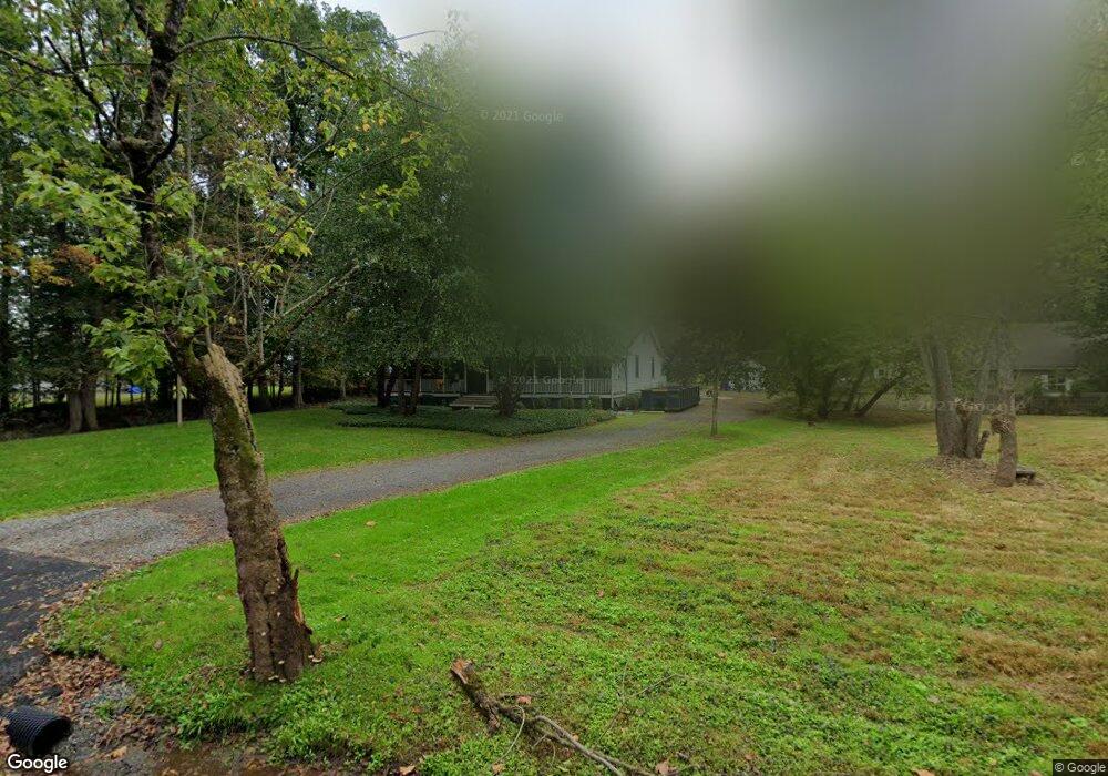
11 Milnor Rd Unit A Bedminster, NJ 07921
Estimated Value: $729,000 - $935,000
Studio
1
Bath
2,302
Sq Ft
$350/Sq Ft
Est. Value
About This Home
This home is located at 11 Milnor Rd Unit A, Bedminster, NJ 07921 and is currently estimated at $806,435, approximately $350 per square foot. 11 Milnor Rd Unit A is a home located in Somerset County with nearby schools including Bedminster Township School and Guidepost Montessori at Bridgewater.
Ownership History
Date
Name
Owned For
Owner Type
Purchase Details
Closed on
May 25, 2022
Sold by
Kearny Bank
Bought by
Lfp Holdings Limited Liability Company
Current Estimated Value
Purchase Details
Closed on
Jun 2, 2021
Sold by
Somerset County Sheriffs
Bought by
Kearny Bank
Purchase Details
Closed on
Feb 7, 2006
Sold by
Behre George E
Bought by
Behre George E
Purchase Details
Closed on
Aug 31, 1999
Sold by
Fritz C Leslie
Bought by
Behre George and Behre Monica
Create a Home Valuation Report for This Property
The Home Valuation Report is an in-depth analysis detailing your home's value as well as a comparison with similar homes in the area
Home Values in the Area
Average Home Value in this Area
Purchase History
| Date | Buyer | Sale Price | Title Company |
|---|---|---|---|
| Lfp Holdings Limited Liability Company | $225,000 | Fidelity National Title | |
| Kearny Bank | $1,000 | Lawyers Title | |
| Behre George E | -- | -- | |
| Behre George | $110,000 | -- |
Source: Public Records
Tax History
| Year | Tax Paid | Tax Assessment Tax Assessment Total Assessment is a certain percentage of the fair market value that is determined by local assessors to be the total taxable value of land and additions on the property. | Land | Improvement |
|---|---|---|---|---|
| 2025 | $6,327 | $539,700 | $241,600 | $298,100 |
| 2024 | $6,327 | $498,200 | $219,700 | $278,500 |
| 2023 | $6,287 | $469,200 | $207,100 | $262,100 |
| 2022 | $6,221 | $453,100 | $199,200 | $253,900 |
| 2021 | $6,095 | $436,900 | $193,400 | $243,500 |
| 2020 | $5,944 | $429,800 | $189,600 | $240,200 |
| 2019 | $5,937 | $431,800 | $189,600 | $242,200 |
| 2018 | $5,770 | $425,200 | $187,800 | $237,400 |
| 2017 | $6,028 | $437,100 | $187,800 | $249,300 |
| 2016 | $5,875 | $432,300 | $187,800 | $244,500 |
| 2015 | $5,825 | $428,600 | $185,900 | $242,700 |
| 2014 | $5,789 | $423,200 | $185,900 | $237,300 |
Source: Public Records
Map
Nearby Homes
- 305 Raymond Ct
- 3366 Us Highway 22
- 1850 Burnt Mills Rd
- 303 Saratoga Ct
- 1114 State Route 28
- 875 Larger Cross Rd
- 842 Madison Ave
- 227 Church Rd
- 701 Timberbrooke Dr
- 55 Sage Ct
- 737 Wingate Dr
- 21 Stone Run Rd
- 25 Crestmont Rd Unit 6225
- 59 Station Rd
- 22 Stone Run Rd
- 469 Victoria Dr Unit E2
- 17 Mallard Ln
- 48 Tree Top Rd
- 356 Victoria Dr Unit G1
- 42 Fieldstone Rd
- 11 Milnor Rd
- 11 Milnor Rd Unit B
- 11 Milnor Rd Unit B
- 11 Milnor Rd Unit A
- 25 Cowperthwaite Rd
- 9 Milnor Rd
- 586 Burnt Mills Rd
- 604 Burnt Mills Rd
- 43 Cowperthwaite Rd
- 34 Cowperthwaite Rd
- 51 Cowperthwaite Rd
- 50 Cowperthwaite Rd
- 560 Burnt Mills Rd
- 870 Burnt Mills Rd
- 621 Burnt Mills Rd
- 635 Burnt Mills Rd
- 450 Burnt Mill Rd
- 460 Burnt Mill Rd
- 670 Burnt Mills Rd
- 410 Burnt Mill Rd
Your Personal Tour Guide
Ask me questions while you tour the home.