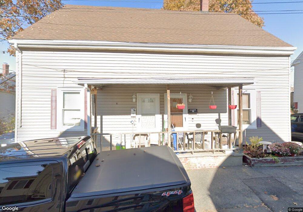
11 Minot St Unit 13 Stoneham, MA 02180
Nobility Hill NeighborhoodEstimated Value: $772,000 - $972,000
4
Beds
2
Baths
3,000
Sq Ft
$293/Sq Ft
Est. Value
About This Home
This home is located at 11 Minot St Unit 13, Stoneham, MA 02180 and is currently estimated at $878,471, approximately $292 per square foot. 11 Minot St Unit 13 is a home located in Middlesex County with nearby schools including Stoneham High School, St. Patrick Elementary School, and Greater Boston Academy.
Ownership History
Date
Name
Owned For
Owner Type
Purchase Details
Closed on
May 4, 1998
Sold by
Oconnor Joseph J and Oconnor Patricia A
Bought by
Riddell David B and Riddell Donna M
Current Estimated Value
Create a Home Valuation Report for This Property
The Home Valuation Report is an in-depth analysis detailing your home's value as well as a comparison with similar homes in the area
Home Values in the Area
Average Home Value in this Area
Purchase History
| Date | Buyer | Sale Price | Title Company |
|---|---|---|---|
| Riddell David B | $55,000 | -- | |
| Riddell David B | $55,000 | -- |
Source: Public Records
Mortgage History
| Date | Status | Borrower | Loan Amount |
|---|---|---|---|
| Open | Riddell David B | $298,636 |
Source: Public Records
Tax History Compared to Growth
Tax History
| Year | Tax Paid | Tax Assessment Tax Assessment Total Assessment is a certain percentage of the fair market value that is determined by local assessors to be the total taxable value of land and additions on the property. | Land | Improvement |
|---|---|---|---|---|
| 2025 | $7,003 | $684,600 | $301,000 | $383,600 |
| 2024 | $6,998 | $660,800 | $277,200 | $383,600 |
| 2023 | $7,071 | $637,000 | $253,400 | $383,600 |
| 2022 | $6,286 | $603,800 | $229,700 | $374,100 |
| 2021 | $6,155 | $568,900 | $213,800 | $355,100 |
| 2020 | $5,781 | $535,800 | $200,300 | $335,500 |
| 2019 | $5,565 | $496,000 | $195,300 | $300,700 |
| 2018 | $5,409 | $461,900 | $188,300 | $273,600 |
| 2017 | $4,892 | $394,800 | $169,700 | $225,100 |
| 2016 | $4,804 | $378,300 | $169,700 | $208,600 |
| 2015 | $4,603 | $355,200 | $153,500 | $201,700 |
| 2014 | $4,419 | $327,600 | $129,300 | $198,300 |
Source: Public Records
Map
Nearby Homes
- 17A 17 B Emerson
- 17 Emerson St Unit A
- 27 Emerson St Unit 27
- 12 Cottage St
- 77 Franklin St
- 10 Pomeworth St Unit H
- 7-9 Oriental Ct
- 34 Warren St Unit 3
- 16 Pond St
- 11 Congress St
- 43 Pomeworth St Unit 44
- 7 Everett St
- 200 Ledgewood Dr Unit 601
- 200 Ledgewood Dr Unit 505
- 100 Ledgewood Dr Unit 417
- 21 Tremont St Unit A
- 1 Tremont St
- 6 Myrtle St
- 13 Washington Ave
- 52 Washington St
- 15 Minot St
- 7 Minot St
- 14 Minot St
- 12 Minot St
- 49 Wright St
- 8 Hersam St
- 8 Hersam St Unit 2
- 8 Hersam St Unit 1
- 8 Hersam St Unit 3
- 10A Hersam St
- 10 Hersam St Unit A
- 10 Hersam St
- 10 Hersam St Unit 1
- 10 Minot St
- 12 Hersam St Unit A
- 12 Hersam St Unit B
- 12 Hersam St
- 6 Hersam St
- 41 Wright St Unit 43
- 45 Wright St