11 Mohawk Cir Plymouth, MA 02360
Estimated Value: $469,000 - $576,148
3
Beds
2
Baths
1,440
Sq Ft
$370/Sq Ft
Est. Value
About This Home
This home is located at 11 Mohawk Cir, Plymouth, MA 02360 and is currently estimated at $532,537, approximately $369 per square foot. 11 Mohawk Cir is a home with nearby schools including South Elementary School, Plymouth South Middle School, and Plymouth South High School.
Ownership History
Date
Name
Owned For
Owner Type
Purchase Details
Closed on
Dec 1, 1994
Sold by
Est Sharpe Marion C and Sandsbury Robert
Bought by
Stone David
Current Estimated Value
Create a Home Valuation Report for This Property
The Home Valuation Report is an in-depth analysis detailing your home's value as well as a comparison with similar homes in the area
Home Values in the Area
Average Home Value in this Area
Purchase History
| Date | Buyer | Sale Price | Title Company |
|---|---|---|---|
| Stone David | $67,500 | -- | |
| Stone David | $67,500 | -- |
Source: Public Records
Tax History Compared to Growth
Tax History
| Year | Tax Paid | Tax Assessment Tax Assessment Total Assessment is a certain percentage of the fair market value that is determined by local assessors to be the total taxable value of land and additions on the property. | Land | Improvement |
|---|---|---|---|---|
| 2025 | $5,947 | $468,600 | $298,800 | $169,800 |
| 2024 | $5,712 | $443,800 | $292,600 | $151,200 |
| 2023 | $5,389 | $393,100 | $255,400 | $137,700 |
| 2022 | $4,870 | $315,600 | $232,200 | $83,400 |
| 2021 | $4,893 | $302,800 | $232,200 | $70,600 |
| 2020 | $4,836 | $295,800 | $226,000 | $69,800 |
| 2019 | $4,467 | $270,100 | $201,200 | $68,900 |
| 2018 | $4,192 | $254,700 | $185,800 | $68,900 |
| 2017 | $4,138 | $249,600 | $185,800 | $63,800 |
| 2016 | $3,809 | $234,100 | $170,300 | $63,800 |
| 2015 | $3,638 | $234,100 | $170,300 | $63,800 |
| 2014 | $3,616 | $239,000 | $170,300 | $68,700 |
Source: Public Records
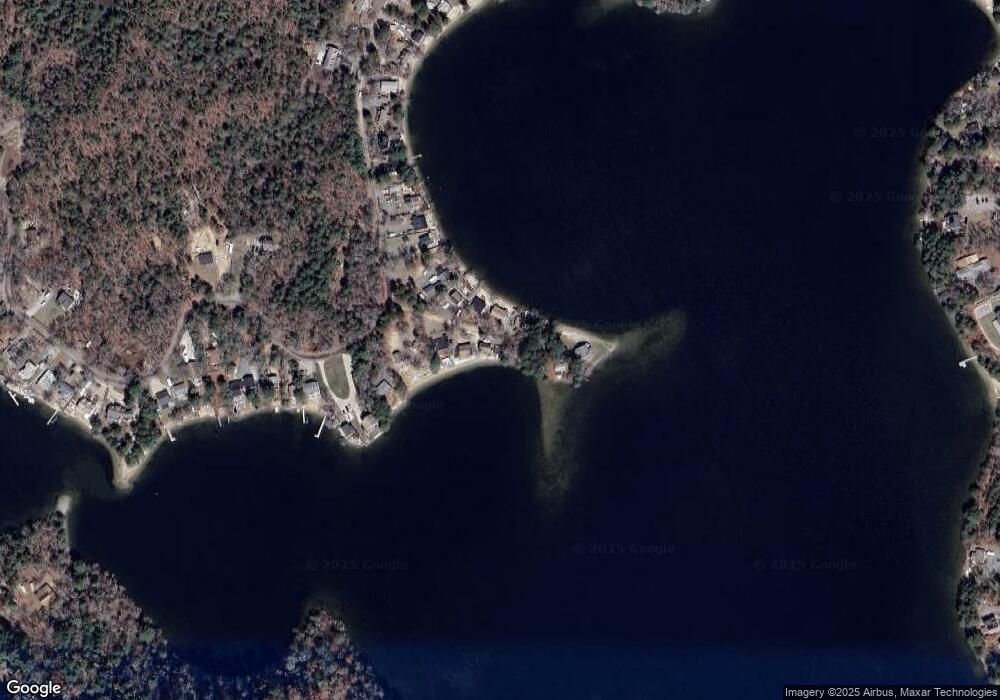
Map
Nearby Homes
- 137 Sandy Beach Rd
- 12 Squirrel Rd
- 7 Lakeview Blvd
- 32 Lake View Blvd
- 7 Central Ave
- 637 Wareham Rd
- 19 Wisteria Rd
- 103 Mayflower Ln
- 12 Wisteria Rd
- 5 Verbena Dr
- 5 Bearberry Path Unit 5
- 118 Puritan Ave
- 5 Daylily Dr Unit 5
- 284 Plymouth Ave
- 18 Scarlet Dr
- 7 River Birch Way
- 20 Towering Trees Rd
- 756 Bourne Rd
- 28 Paulette Terrace
- 47 Mayflower Way
- 9 Mohawk Cir
- 12 Mohawk Cir
- 10 Mohawk Cir
- 6 Mohawk Cir
- 17 Mohawk Cir
- 121 Sandy Beach Rd
- 115 Sandy Beach Rd
- 113 Sandy Beach Rd
- 123 Sandy Beach Rd
- 111 Sandy Beach Rd
- 127 Sandy Beach Rd
- 109 Sandy Beach Rd
- 129 Sandy Beach Rd
- 107 Sandy Beach Rd
- 105 Sandy Beach Rd
- 135 Sandy Beach Rd
- 0 Sandy Beach Rd
- 101 Sandy Beach Rd
- 100 Sandy Beach Rd
- 95 Sandy Beach Rd