11 Monument Ave Bourne, MA 2532
Monument Beach NeighborhoodEstimated Value: $437,000 - $1,046,000
4
Beds
2
Baths
1,420
Sq Ft
$620/Sq Ft
Est. Value
About This Home
This home is located at 11 Monument Ave, Bourne, MA 2532 and is currently estimated at $879,778, approximately $619 per square foot. 11 Monument Ave is a home located in Barnstable County with nearby schools including Bourne High School, St Margaret Regional School, and Cadence Academy Preschool - Bourne.
Ownership History
Date
Name
Owned For
Owner Type
Purchase Details
Closed on
Mar 14, 2022
Sold by
Nolan Leonard F and Nolan Arlene J
Bought by
Nolan Family 2021 Irt and Nolan
Current Estimated Value
Purchase Details
Closed on
Sep 1, 1989
Sold by
Morrison Norman J
Bought by
Nolan Leonard F
Create a Home Valuation Report for This Property
The Home Valuation Report is an in-depth analysis detailing your home's value as well as a comparison with similar homes in the area
Home Values in the Area
Average Home Value in this Area
Purchase History
| Date | Buyer | Sale Price | Title Company |
|---|---|---|---|
| Nolan Family 2021 Irt | -- | None Available | |
| Nolan Family 2021 Irt | -- | None Available | |
| Nolan Family 2021 Irt | -- | None Available | |
| Nolan Leonard F | $200,000 | -- | |
| Nolan Leonard F | $200,000 | -- |
Source: Public Records
Mortgage History
| Date | Status | Borrower | Loan Amount |
|---|---|---|---|
| Previous Owner | Nolan Leonard F | $325,000 | |
| Previous Owner | Nolan Leonard F | $300,000 | |
| Previous Owner | Nolan Leonard F | $75,000 |
Source: Public Records
Tax History
| Year | Tax Paid | Tax Assessment Tax Assessment Total Assessment is a certain percentage of the fair market value that is determined by local assessors to be the total taxable value of land and additions on the property. | Land | Improvement |
|---|---|---|---|---|
| 2025 | $6,672 | $854,300 | $343,000 | $511,300 |
| 2024 | $6,525 | $813,600 | $326,600 | $487,000 |
| 2023 | $6,622 | $751,600 | $318,700 | $432,900 |
| 2022 | $5,959 | $590,600 | $282,000 | $308,600 |
| 2021 | $5,788 | $537,400 | $256,700 | $280,700 |
| 2020 | $5,268 | $490,500 | $254,200 | $236,300 |
| 2019 | $5,015 | $477,200 | $254,200 | $223,000 |
| 2018 | $4,684 | $444,400 | $242,200 | $202,200 |
| 2017 | $4,533 | $440,100 | $239,900 | $200,200 |
| 2016 | $4,251 | $418,400 | $239,900 | $178,500 |
| 2015 | $4,213 | $418,400 | $239,900 | $178,500 |
Source: Public Records
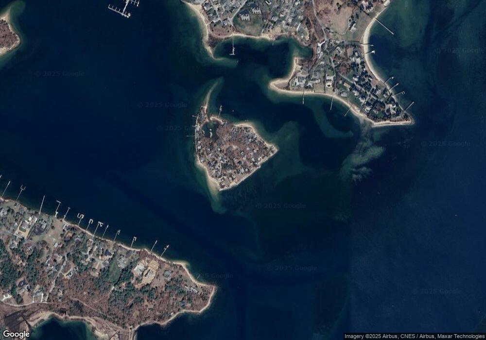
Map
Nearby Homes
- 566 Shore Rd
- 10 Howard Ave
- 10 Howard Ave
- 203 County Rd
- 14 Navajo Rd
- 35 Benedict Rd
- 16 Amberwood Ct
- 20 Colony Ave
- 5 Harbor Hill Dr
- 4 Harbor Hill Dr
- 12 Turnberry Rd Unit 12
- 13 Laurel Hill Ct
- 2 Applewood Ct
- 709 County Rd
- 5 Sea Knoll Ct
- 254 Barlows Landing Rd
- 5 Zoli Ln
- 4 Hollyhock Knoll Ct Unit 4
- 4 Hollyhock Knoll Ct Unit 4
- 3 1st St
Your Personal Tour Guide
Ask me questions while you tour the home.