11 Morris Ln Rutland, MA 01543
Estimated Value: $666,000 - $700,000
4
Beds
3
Baths
2,344
Sq Ft
$293/Sq Ft
Est. Value
About This Home
This home is located at 11 Morris Ln, Rutland, MA 01543 and is currently estimated at $686,359, approximately $292 per square foot. 11 Morris Ln is a home with nearby schools including Wachusett Regional High School.
Ownership History
Date
Name
Owned For
Owner Type
Purchase Details
Closed on
Dec 31, 2019
Sold by
Mcnulty Sean P and Mcnulty Sarah E
Bought by
Mcnulty Ft
Current Estimated Value
Purchase Details
Closed on
Jun 18, 2010
Sold by
J M Soucy Contracting
Bought by
Mcnulty Sean P and Mcnulty Sarah E
Home Financials for this Owner
Home Financials are based on the most recent Mortgage that was taken out on this home.
Original Mortgage
$327,000
Interest Rate
5.03%
Mortgage Type
Purchase Money Mortgage
Create a Home Valuation Report for This Property
The Home Valuation Report is an in-depth analysis detailing your home's value as well as a comparison with similar homes in the area
Home Values in the Area
Average Home Value in this Area
Purchase History
| Date | Buyer | Sale Price | Title Company |
|---|---|---|---|
| Mcnulty Ft | -- | None Available | |
| Mcnulty Sean P | $363,350 | -- |
Source: Public Records
Mortgage History
| Date | Status | Borrower | Loan Amount |
|---|---|---|---|
| Previous Owner | Mcnulty Sean P | $327,000 |
Source: Public Records
Tax History Compared to Growth
Tax History
| Year | Tax Paid | Tax Assessment Tax Assessment Total Assessment is a certain percentage of the fair market value that is determined by local assessors to be the total taxable value of land and additions on the property. | Land | Improvement |
|---|---|---|---|---|
| 2025 | $8,641 | $606,800 | $111,900 | $494,900 |
| 2024 | $8,266 | $557,400 | $100,400 | $457,000 |
| 2023 | $7,609 | $554,600 | $94,700 | $459,900 |
| 2022 | $7,145 | $452,500 | $80,100 | $372,400 |
| 2021 | $7,056 | $422,500 | $80,100 | $342,400 |
| 2020 | $6,480 | $368,000 | $75,300 | $292,700 |
| 2019 | $6,263 | $350,100 | $69,100 | $281,000 |
| 2018 | $6,010 | $331,500 | $69,100 | $262,400 |
| 2017 | $6,073 | $331,500 | $69,100 | $262,400 |
| 2016 | $5,680 | $327,000 | $66,600 | $260,400 |
| 2015 | $5,602 | $317,400 | $66,600 | $250,800 |
| 2014 | $5,431 | $317,400 | $66,600 | $250,800 |
Source: Public Records
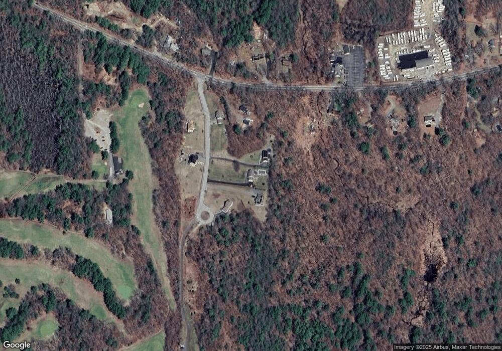
Map
Nearby Homes
- 43 Irish Ln
- 39 Irish Ln
- 37 Irish Ln
- LOT 8 Pierre Cir
- 5 Brigham Rd
- 236 Turkey Hill Rd
- 211 Barre Paxton Rd Unit 4
- 7 Victoria Ave
- Lot 1 Welch Ave
- 4 Stevens Way
- 13 Johnson Way
- 14 Welch Ave Unit B
- 15 Athens Ave
- Lot 11 Pleasantdale Rd
- 20 Athens Ave
- 238 Barre Paxton Rd Unit 238
- 289 Richards Ave
- 0 Barclay Rd
- 47 Lakeshore Dr
- 230 West St
- 7 Morris Ln
- 15 Morris Ln
- 19 Morris Ln
- 9 Morris Ln
- 8 Morris Ln
- 6 Morris Ln
- 3 Morris Ln
- 10 Morris Ln
- 5 Morris Ln
- 4 Morris Ln
- 73 Barre Paxton Rd
- 1 Morris Ln
- 65 Barre Paxton Rd
- 68 Barre Paxton Rd
- 72 Barre Paxton Rd
- 57 Barre Paxton Rd
- 78 Barre Paxton Rd
- 55 Barre Paxton Rd
- 82 Barre Paxton Rd
- 51 Barre Paxton Rd