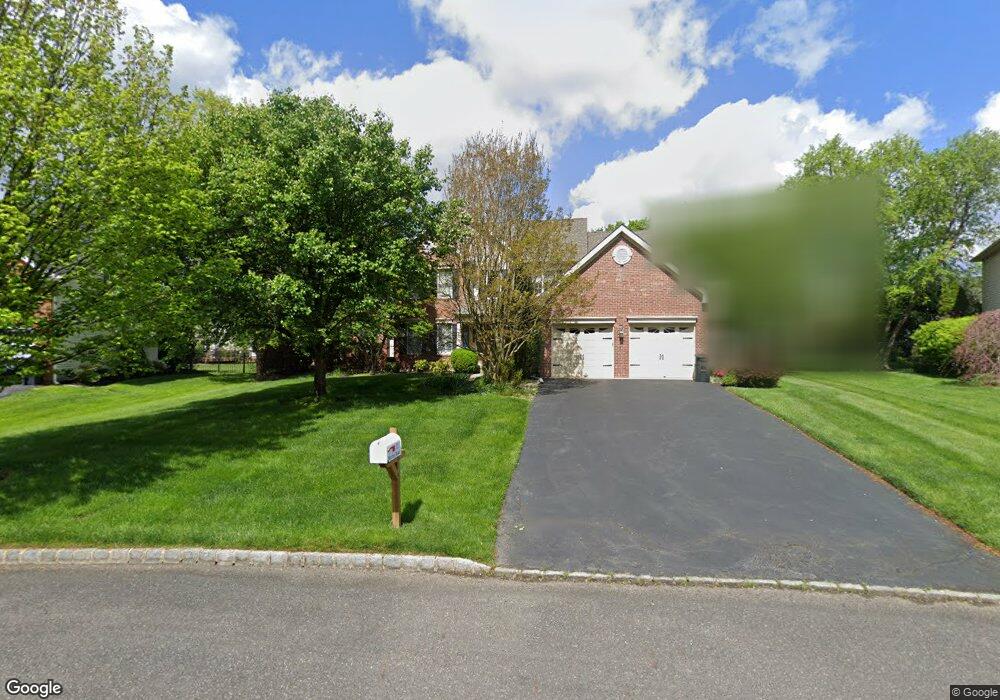
11 Murray Rd Moorestown, NJ 08057
Estimated Value: $1,127,000 - $1,182,025
4
Beds
3
Baths
3,457
Sq Ft
$333/Sq Ft
Est. Value
About This Home
This home is located at 11 Murray Rd, Moorestown, NJ 08057 and is currently estimated at $1,150,342, approximately $332 per square foot. 11 Murray Rd is a home located in Burlington County with nearby schools including South Valley Elementary School, Moorestown Upper Elementary School, and William Allen Middle School.
Ownership History
Date
Name
Owned For
Owner Type
Purchase Details
Closed on
Jan 11, 2011
Sold by
Rogers David and Rogers Megan
Bought by
Mcilwraith John A and Mcilwraith Kristen M
Current Estimated Value
Home Financials for this Owner
Home Financials are based on the most recent Mortgage that was taken out on this home.
Original Mortgage
$400,000
Outstanding Balance
$273,358
Interest Rate
4.83%
Mortgage Type
Stand Alone First
Estimated Equity
$876,984
Purchase Details
Closed on
Jun 23, 2006
Sold by
Ortell Carl A and Ortell Kimberly Ann
Bought by
Rogers David and Rogers Megan
Home Financials for this Owner
Home Financials are based on the most recent Mortgage that was taken out on this home.
Original Mortgage
$480,024
Interest Rate
6.87%
Mortgage Type
Purchase Money Mortgage
Purchase Details
Closed on
Jan 29, 1998
Sold by
Moorestown Hunt Lp
Bought by
Ortell Carl A and Ortell Kimberly Ann
Create a Home Valuation Report for This Property
The Home Valuation Report is an in-depth analysis detailing your home's value as well as a comparison with similar homes in the area
Home Values in the Area
Average Home Value in this Area
Purchase History
| Date | Buyer | Sale Price | Title Company |
|---|---|---|---|
| Mcilwraith John A | $675,000 | Chicago Title Insurance Co | |
| Rogers David | $720,000 | None Available | |
| Ortell Carl A | $314,917 | -- |
Source: Public Records
Mortgage History
| Date | Status | Borrower | Loan Amount |
|---|---|---|---|
| Open | Mcilwraith John A | $400,000 | |
| Previous Owner | Rogers David | $480,024 |
Source: Public Records
Tax History
| Year | Tax Paid | Tax Assessment Tax Assessment Total Assessment is a certain percentage of the fair market value that is determined by local assessors to be the total taxable value of land and additions on the property. | Land | Improvement |
|---|---|---|---|---|
| 2025 | $17,762 | $626,100 | $240,600 | $385,500 |
| 2024 | $17,224 | $626,100 | $240,600 | $385,500 |
| 2023 | $17,224 | $626,100 | $240,600 | $385,500 |
| 2022 | $17,049 | $626,100 | $240,600 | $385,500 |
| 2021 | $16,823 | $626,100 | $240,600 | $385,500 |
| 2020 | $16,717 | $626,100 | $240,600 | $385,500 |
| 2019 | $16,423 | $626,100 | $240,600 | $385,500 |
| 2018 | $15,978 | $626,100 | $240,600 | $385,500 |
| 2017 | $16,116 | $626,100 | $240,600 | $385,500 |
| 2016 | $16,059 | $626,100 | $240,600 | $385,500 |
| 2015 | $15,865 | $626,100 | $240,600 | $385,500 |
| 2014 | $15,064 | $626,100 | $240,600 | $385,500 |
Source: Public Records
Map
Nearby Homes
- 49 Brooks Rd
- 9 Deerfield Terrace
- 807 Westfield Rd
- 16 Windermere Dr
- 740 Garwood Rd
- 628 Windsock Way
- 720 Mcelwee Rd
- 40 Palmer Dr Unit 110
- 712 Kimberly Dr
- 103 Oakmont Dr
- 901 Mcelwee Rd
- 801 Cox Rd
- 635 E Main St Unit 14
- 635 E Main St Unit 7
- 751 Garwood Rd
- 15 Hogan Way
- 101 Congressional Ct
- 121 Congressional Ct
- 115 Congressional Ct
- 744 Signal Light Rd
Your Personal Tour Guide
Ask me questions while you tour the home.