Estimated Value: $301,000 - $325,000
8
Beds
3
Baths
3,664
Sq Ft
$85/Sq Ft
Est. Value
About This Home
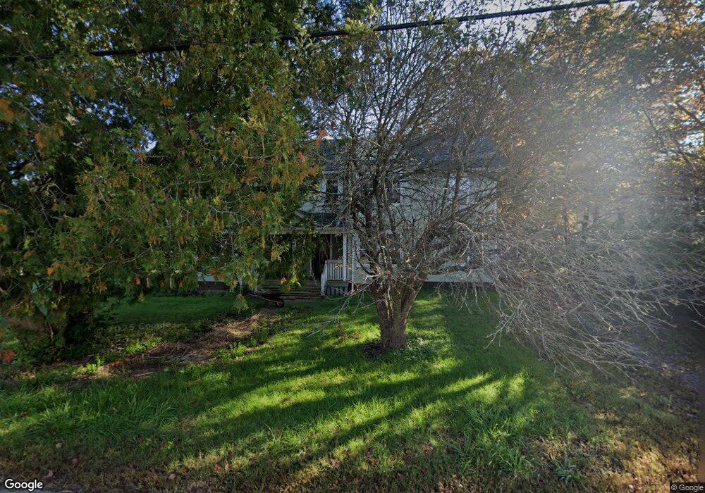
This home is located at 11 N Brookfield Rd, Barre, MA 01005 and is currently estimated at $310,521, approximately $84 per square foot. 11 N Brookfield Rd is a home located in Worcester County with nearby schools including Quabbin Regional Middle School and Quabbin Regional High School.
Ownership History
Date
Name
Owned For
Owner Type
Purchase Details
Closed on
Jan 27, 2025
Sold by
Colleen P Guertin Irt and Guertin
Bought by
Aqib Realty Llc
Current Estimated Value
Purchase Details
Closed on
Jul 13, 2022
Sold by
Guertin Colleen P
Bought by
Colleen P Guertin Irt and Guertin
Purchase Details
Closed on
Sep 12, 2016
Sold by
Guertin Walter R and Guertin Colleen P
Bought by
Guertin Colleen P
Create a Home Valuation Report for This Property
The Home Valuation Report is an in-depth analysis detailing your home's value as well as a comparison with similar homes in the area
Home Values in the Area
Average Home Value in this Area
Purchase History
| Date | Buyer | Sale Price | Title Company |
|---|---|---|---|
| Aqib Realty Llc | $285,000 | None Available | |
| Aqib Realty Llc | $285,000 | None Available | |
| Colleen P Guertin Irt | -- | None Available | |
| Colleen P Guertin Irt | -- | None Available | |
| Guertin Colleen P | -- | -- | |
| Guertin Colleen P | -- | -- |
Source: Public Records
Tax History Compared to Growth
Tax History
| Year | Tax Paid | Tax Assessment Tax Assessment Total Assessment is a certain percentage of the fair market value that is determined by local assessors to be the total taxable value of land and additions on the property. | Land | Improvement |
|---|---|---|---|---|
| 2025 | $3,281 | $241,400 | $44,000 | $197,400 |
| 2024 | $3,199 | $228,800 | $41,900 | $186,900 |
| 2023 | $3,212 | $202,500 | $32,700 | $169,800 |
| 2022 | $3,201 | $190,100 | $27,900 | $162,200 |
| 2021 | $3,303 | $183,500 | $27,900 | $155,600 |
| 2020 | $3,142 | $175,800 | $27,900 | $147,900 |
| 2019 | $3,619 | $199,700 | $25,300 | $174,400 |
| 2018 | $2,741 | $145,800 | $25,300 | $120,500 |
| 2017 | $2,726 | $145,800 | $25,300 | $120,500 |
| 2016 | $2,462 | $138,300 | $23,000 | $115,300 |
| 2015 | $2,479 | $133,000 | $28,300 | $104,700 |
| 2014 | $2,236 | $139,200 | $34,500 | $104,700 |
Source: Public Records
Map
Nearby Homes
- 106 Peach St
- 141 Peach St
- 231 Chamberlain Hill Rd
- 572 Wheelwright Rd
- 621 Woods Rd
- 280 S Barre Rd
- 449 Hunt Rd
- 356 Hunt Rd
- 1940 Barre Rd
- 38 Edson Rd
- Lot 38 Edson Rd
- 5 Old Coldbrook Rd
- 926 Old Turnpike Rd
- 58 Ruggles St
- 27 Kendall St
- Lot 7 Delargy Rd
- Delargy Rd
- 190 Summer St
- 1350 Thresher Rd
- 3 Newton St
- 3 N Brookfield Rd
- Lot "1" N Brookfield
- 21 N Brookfield Rd
- 2 N Brookfield Rd
- 12 N Brookfield Rd
- 24 N Brookfield Rd
- 31 N Brookfield Rd
- 26 Peach St
- 1 Wheelwright Rd
- Lot D Peach St
- 39 Austin St
- 39 N Brookfield Rd
- 53 Austin St
- 0 Wheelwright Rd
- 379 Main St S
- 379 Main St S Unit 2
- 14 Wheelwright Rd
- 380 Main St S
- 30 Peach St
- 8 Wheelwright Rd