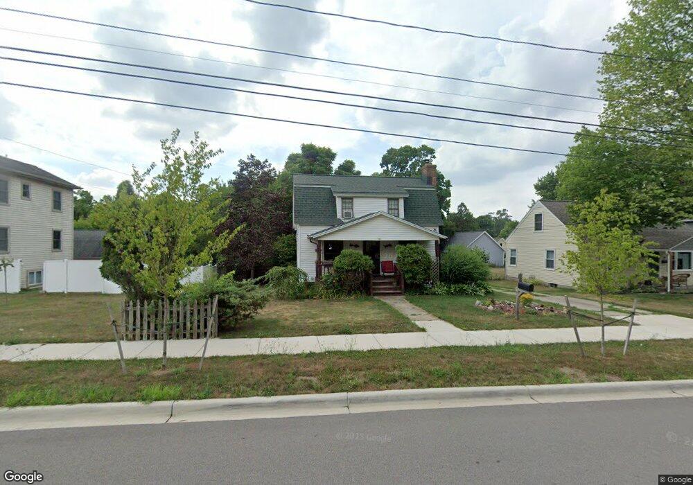
11 N Lincoln St Rockford, MI 49341
Estimated Value: $314,000 - $354,641
3
Beds
2
Baths
1,550
Sq Ft
$214/Sq Ft
Est. Value
About This Home
This home is located at 11 N Lincoln St, Rockford, MI 49341 and is currently estimated at $331,910, approximately $214 per square foot. 11 N Lincoln St is a home located in Kent County with nearby schools including Parkside Elementary School, North Rockford Middle School, and Rockford High School Freshman Center.
Ownership History
Date
Name
Owned For
Owner Type
Purchase Details
Closed on
Apr 30, 2003
Sold by
Potter Michael C and Potter Judy
Bought by
Calcagno Anthony and Merrill Amanda
Current Estimated Value
Home Financials for this Owner
Home Financials are based on the most recent Mortgage that was taken out on this home.
Original Mortgage
$120,000
Outstanding Balance
$53,027
Interest Rate
6.02%
Mortgage Type
Purchase Money Mortgage
Estimated Equity
$278,883
Purchase Details
Closed on
Nov 30, 2000
Sold by
Potter Judy R
Bought by
Potter Michael C
Home Financials for this Owner
Home Financials are based on the most recent Mortgage that was taken out on this home.
Original Mortgage
$63,750
Interest Rate
7.77%
Create a Home Valuation Report for This Property
The Home Valuation Report is an in-depth analysis detailing your home's value as well as a comparison with similar homes in the area
Home Values in the Area
Average Home Value in this Area
Purchase History
| Date | Buyer | Sale Price | Title Company |
|---|---|---|---|
| Calcagno Anthony | $134,000 | -- | |
| Potter Michael C | -- | -- | |
| Potter Michael C | -- | -- |
Source: Public Records
Mortgage History
| Date | Status | Borrower | Loan Amount |
|---|---|---|---|
| Open | Calcagno Anthony | $120,000 | |
| Previous Owner | Potter Michael C | $63,750 | |
| Closed | Potter Michael C | $59,100 |
Source: Public Records
Tax History Compared to Growth
Tax History
| Year | Tax Paid | Tax Assessment Tax Assessment Total Assessment is a certain percentage of the fair market value that is determined by local assessors to be the total taxable value of land and additions on the property. | Land | Improvement |
|---|---|---|---|---|
| 2025 | $2,680 | $162,800 | $0 | $0 |
| 2024 | $2,680 | $144,200 | $0 | $0 |
| 2023 | $3,084 | $125,800 | $0 | $0 |
| 2022 | $2,962 | $115,300 | $0 | $0 |
| 2021 | $2,880 | $98,000 | $0 | $0 |
| 2020 | $2,346 | $93,900 | $0 | $0 |
| 2019 | $2,806 | $85,200 | $0 | $0 |
| 2018 | $2,812 | $85,100 | $0 | $0 |
| 2017 | $2,741 | $78,100 | $0 | $0 |
| 2016 | $2,538 | $70,500 | $0 | $0 |
| 2015 | -- | $70,500 | $0 | $0 |
| 2013 | -- | $61,300 | $0 | $0 |
Source: Public Records
Map
Nearby Homes
- 126 N Monroe St
- 142 E Division St NE
- 131 S Monroe St NE
- 126 S Main St
- 107 S Main St
- 204 Lewis St
- 175 S Main St
- 335 Lewis St
- 343 Lewis St
- 315 N Main St
- 153 Gaylord Dr
- 190 E Main St
- 8365 Atlanta Dr NE
- 8343 Atlanta Dr NE
- 5090 Natchez Ct NE
- 116 Kara Ct
- 4985 Tiamo Ln NE
- 273 Summit Ave NE
- 205 Hunters Ln NE Unit 23
- 65 Greystone Ct NE
- 17 N Lincoln St
- 40 N Lincoln St
- 1 N Lincoln St
- 14 N Dayton St
- 23 N Lincoln St
- 20 N Dayton St
- 26 N Dayton St
- 2 N Dayton St
- 256 Courtland St
- 256 Courtland St
- 28 N Lincoln St
- 254 E Bridge St NE
- 234 Courtland St
- 256 E Bridge St
- 254 E Bridge St
- 4 S Dayton St
- 8 S Dayton St
- 225 E Bridge St
- 225 E Bridge St Unit A
- 7 N Dayton St