11 Nathaniel Way Marshfield, MA 02050
Estimated Value: $1,048,000 - $1,148,000
3
Beds
3
Baths
1,520
Sq Ft
$721/Sq Ft
Est. Value
About This Home
This home is located at 11 Nathaniel Way, Marshfield, MA 02050 and is currently estimated at $1,096,567, approximately $721 per square foot. 11 Nathaniel Way is a home with nearby schools including Eames Way School, Furnace Brook Middle School, and Marshfield High School.
Ownership History
Date
Name
Owned For
Owner Type
Purchase Details
Closed on
May 1, 2023
Sold by
Hassett Barbara J
Bought by
Hassett Ret
Current Estimated Value
Purchase Details
Closed on
May 17, 2011
Sold by
Hassett James E Est and Hassett Barbara J
Bought by
Hassett Barbara J
Create a Home Valuation Report for This Property
The Home Valuation Report is an in-depth analysis detailing your home's value as well as a comparison with similar homes in the area
Home Values in the Area
Average Home Value in this Area
Purchase History
| Date | Buyer | Sale Price | Title Company |
|---|---|---|---|
| Hassett Ret | -- | None Available | |
| Hassett Barbara J | -- | -- |
Source: Public Records
Tax History Compared to Growth
Tax History
| Year | Tax Paid | Tax Assessment Tax Assessment Total Assessment is a certain percentage of the fair market value that is determined by local assessors to be the total taxable value of land and additions on the property. | Land | Improvement |
|---|---|---|---|---|
| 2025 | $11,042 | $1,115,400 | $687,500 | $427,900 |
| 2024 | $11,120 | $1,070,300 | $687,500 | $382,800 |
| 2023 | $10,658 | $941,500 | $611,100 | $330,400 |
| 2022 | $10,394 | $802,600 | $523,900 | $278,700 |
| 2021 | $10,333 | $783,400 | $523,900 | $259,500 |
| 2020 | $10,443 | $783,400 | $523,900 | $259,500 |
| 2019 | $9,900 | $739,900 | $480,400 | $259,500 |
| 2018 | $9,310 | $696,300 | $436,800 | $259,500 |
| 2017 | $8,742 | $637,200 | $436,800 | $200,400 |
| 2016 | $8,844 | $637,200 | $436,800 | $200,400 |
| 2015 | $8,261 | $621,600 | $436,800 | $184,800 |
| 2014 | $7,715 | $580,500 | $395,900 | $184,600 |
Source: Public Records
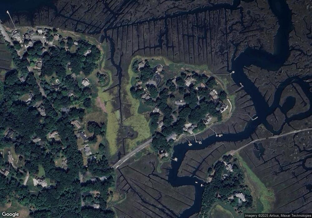
Map
Nearby Homes
- 110 Damons Point Rd
- 26 Damons Point Cir
- 55 Macombers Way
- 1 Trouants Island
- 2167 Main St
- 480 Pleasant St
- 287 Summer St
- 37 Moorland Rd
- 28 Riverside Cir
- 48 Neal Gate St
- 2 Collier Rd
- 3 Cottage Ln
- 9 Cushing Park Rd
- 248 Highland St
- 29 Ladds Way Unit 29
- 105 Cedar Acres Rd
- 46 Oakman Way
- 16 Salt Meadow Ln
- 3 Summer St
- 4 Summer St
- 27 Nathaniel Way
- 69 Bartletts Island Way
- 85 Bartletts Island Way
- 35 Nathaniel Way
- 22 Nathaniel Way
- 70 Bartletts Island Way
- 32 Nathaniel Way
- 99 Bartletts Island Way
- 36 Nathaniel Way
- 84 Bartletts Island Way
- 56 Bartletts Island Way
- 105 Bartletts Island Way
- 110 Bartletts Island Way
- 94 Bartletts Island Way
- 84 Bartlett's Island Way
- 102 Bartletts Island Way
- 180 Damons Point Rd
- 172 Damons Point Rd
- 190 Damons Point Rd
- 162 Damons Point Rd