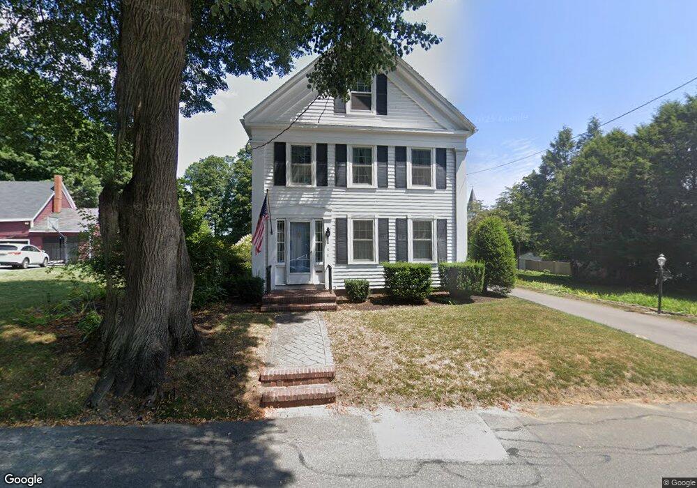
11 Nelson Ave Georgetown, MA 01833
Estimated Value: $597,000 - $735,000
2
Beds
2
Baths
1,905
Sq Ft
$346/Sq Ft
Est. Value
About This Home
This home is located at 11 Nelson Ave, Georgetown, MA 01833 and is currently estimated at $658,886, approximately $345 per square foot. 11 Nelson Ave is a home located in Essex County with nearby schools including Perley Elementary School, Penn Brook School, and Georgetown High School.
Ownership History
Date
Name
Owned For
Owner Type
Purchase Details
Closed on
Aug 31, 2022
Sold by
Flynn Kathleen A
Bought by
Pingree Kathleen A and Pingree Robert L
Current Estimated Value
Purchase Details
Closed on
Dec 4, 2001
Sold by
Pickering Evelyn R
Bought by
Barbagallo Salvatore and Barbagallo Traci
Home Financials for this Owner
Home Financials are based on the most recent Mortgage that was taken out on this home.
Original Mortgage
$103,250
Interest Rate
6.66%
Mortgage Type
Purchase Money Mortgage
Purchase Details
Closed on
Jun 28, 2001
Sold by
Pickering Evelyn R
Bought by
Flynn Kathleen A
Create a Home Valuation Report for This Property
The Home Valuation Report is an in-depth analysis detailing your home's value as well as a comparison with similar homes in the area
Home Values in the Area
Average Home Value in this Area
Purchase History
| Date | Buyer | Sale Price | Title Company |
|---|---|---|---|
| Pingree Kathleen A | -- | None Available | |
| Barbagallo Salvatore | $147,500 | -- | |
| Flynn Kathleen A | $365,000 | -- |
Source: Public Records
Mortgage History
| Date | Status | Borrower | Loan Amount |
|---|---|---|---|
| Previous Owner | Flynn Kathleen A | $50,000 | |
| Previous Owner | Flynn Kathleen A | $300,700 | |
| Previous Owner | Flynn Kathleen A | $30,000 | |
| Previous Owner | Flynn Kathleen A | $103,250 |
Source: Public Records
Tax History
| Year | Tax Paid | Tax Assessment Tax Assessment Total Assessment is a certain percentage of the fair market value that is determined by local assessors to be the total taxable value of land and additions on the property. | Land | Improvement |
|---|---|---|---|---|
| 2025 | $6,269 | $566,800 | $242,000 | $324,800 |
| 2024 | $5,338 | $425,300 | $166,900 | $258,400 |
| 2023 | $5,426 | $418,000 | $166,900 | $251,100 |
| 2022 | $5,578 | $396,200 | $145,100 | $251,100 |
| 2021 | $5,134 | $323,100 | $145,100 | $178,000 |
| 2020 | $5,144 | $323,100 | $145,100 | $178,000 |
| 2019 | $4,938 | $312,900 | $142,300 | $170,600 |
| 2018 | $4,969 | $312,900 | $142,300 | $170,600 |
| 2017 | $4,975 | $306,900 | $142,300 | $164,600 |
| 2016 | $4,586 | $289,000 | $142,300 | $146,700 |
| 2015 | $4,549 | $283,800 | $142,300 | $141,500 |
| 2014 | $3,862 | $274,900 | $142,300 | $132,600 |
Source: Public Records
Map
Nearby Homes
- 11 Central St
- 51 W Main St Unit 6
- 69 Pond St
- 8 Molloy Rd
- 206 W Main St Unit 5
- 206 W Main St Unit 9
- 206 W Main St Unit 2
- 206 W Main St Unit 8
- 231 W Main St
- 107 King George Dr Unit 9
- 1 Atwood Ln
- 534 Ipswich Rd
- 12 Hope Ln Unit 14
- Lot B Willow Ave
- 24 Appleton Ln
- 870 Haverhill St Unit 2B
- 870 Haverhill St Unit 21B
- 150 Georgetown Rd
- 141 Washington St
- 427b Ipswich Rd