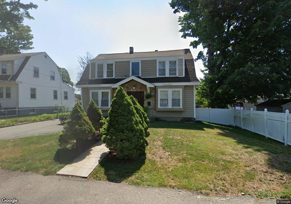
11 Norfolk Rd Holbrook, MA 02343
Estimated Value: $558,000 - $638,000
4
Beds
2
Baths
2,097
Sq Ft
$287/Sq Ft
Est. Value
About This Home
This home is located at 11 Norfolk Rd, Holbrook, MA 02343 and is currently estimated at $601,392, approximately $286 per square foot. 11 Norfolk Rd is a home located in Norfolk County with nearby schools including John F. Kennedy Elementary School, Holbrook Middle High School, and Boston Higashi School.
Ownership History
Date
Name
Owned For
Owner Type
Purchase Details
Closed on
Nov 30, 2007
Sold by
Ludkiewicz Artur and Ludkiewicz Wieslaw
Bought by
Ludkiewicz Artur and Ludkiewicz Monika
Current Estimated Value
Home Financials for this Owner
Home Financials are based on the most recent Mortgage that was taken out on this home.
Original Mortgage
$200,000
Interest Rate
6.48%
Mortgage Type
Purchase Money Mortgage
Purchase Details
Closed on
Aug 24, 1998
Sold by
Morgan Cory J Est and Morgan
Bought by
Ludkiewicz Wieslaw and Ludkiewicz Malgorzata
Purchase Details
Closed on
Nov 28, 1997
Sold by
Rodd Sallie M
Bought by
Morgan Cory J
Create a Home Valuation Report for This Property
The Home Valuation Report is an in-depth analysis detailing your home's value as well as a comparison with similar homes in the area
Home Values in the Area
Average Home Value in this Area
Purchase History
| Date | Buyer | Sale Price | Title Company |
|---|---|---|---|
| Ludkiewicz Artur | -- | -- | |
| Ludkiewicz Wieslaw | $130,000 | -- | |
| Morgan Cory J | $110,000 | -- |
Source: Public Records
Mortgage History
| Date | Status | Borrower | Loan Amount |
|---|---|---|---|
| Open | Morgan Cory J | $30,000 | |
| Open | Morgan Cory J | $207,400 | |
| Closed | Ludkiewicz Artur | $200,000 |
Source: Public Records
Tax History
| Year | Tax Paid | Tax Assessment Tax Assessment Total Assessment is a certain percentage of the fair market value that is determined by local assessors to be the total taxable value of land and additions on the property. | Land | Improvement |
|---|---|---|---|---|
| 2025 | $66 | $502,200 | $202,900 | $299,300 |
| 2024 | $6,462 | $480,800 | $186,400 | $294,400 |
| 2023 | $6,489 | $421,900 | $164,300 | $257,600 |
| 2022 | $6,177 | $374,600 | $146,800 | $227,800 |
| 2021 | $6,072 | $352,600 | $133,500 | $219,100 |
| 2020 | $6,308 | $343,400 | $129,600 | $213,800 |
| 2019 | $6,108 | $313,900 | $123,400 | $190,500 |
| 2018 | $5,587 | $270,300 | $106,400 | $163,900 |
| 2017 | $5,269 | $252,100 | $97,100 | $155,000 |
| 2016 | $4,896 | $249,300 | $94,300 | $155,000 |
| 2015 | $4,593 | $240,700 | $88,700 | $152,000 |
| 2014 | $4,340 | $231,200 | $74,700 | $156,500 |
Source: Public Records
Map
Nearby Homes
- 152 S Franklin St
- 58 Chandler St
- 123-125 N Franklin St
- 181 S Franklin St Unit 102
- 181 S Franklin St Unit 206
- 36 Summer St
- 27 Winter St
- 184 Belcher St
- 360 Plymouth St
- 5 Clarendon Cir Unit Lot 4
- 278 N Franklin St
- 88 Roseen Rd
- 375 S Franklin St Unit 1
- 120 Roberts Ave
- 35 Marion St
- 45-R Ernest St
- 8 Dianthus Rd
- 63 Sycamore St
- 20 Isabelle Ave
- 95 Rindone St
- 17 Norfolk Rd
- 23 Norfolk Rd
- 31 Norfolk Rd
- 2 Norfolk Rd
- 33 Norfolk Rd
- 36 Norfolk Rd
- 16 Norfolk Rd
- 72 S Franklin St
- 28 Norfolk Rd
- 76 S Franklin St
- 78 S Franklin St
- 82 S Franklin St
- 82 S Franklin St Unit 2
- 82 S Franklin St Unit 1
- 82 S Franklin St Unit 3
- 37 Norfolk Rd
- 41 Norfolk Rd
- 38 Norfolk Rd
- 107 S Franklin St
- 96 S Franklin St
Your Personal Tour Guide
Ask me questions while you tour the home.