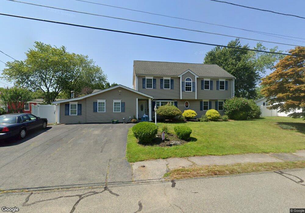
11 Norma Rd Holbrook, MA 02343
Estimated Value: $682,158 - $752,000
4
Beds
2
Baths
2,928
Sq Ft
$249/Sq Ft
Est. Value
About This Home
This home is located at 11 Norma Rd, Holbrook, MA 02343 and is currently estimated at $729,290, approximately $249 per square foot. 11 Norma Rd is a home located in Norfolk County with nearby schools including John F. Kennedy Elementary School, Holbrook Middle High School, and Boston Higashi School.
Ownership History
Date
Name
Owned For
Owner Type
Purchase Details
Closed on
Nov 29, 2004
Sold by
Anastasio Kelly A and Christian Kelly
Bought by
Anastasio Kelly A and Anastasio Paul A
Current Estimated Value
Home Financials for this Owner
Home Financials are based on the most recent Mortgage that was taken out on this home.
Original Mortgage
$241,000
Outstanding Balance
$119,195
Interest Rate
5.75%
Mortgage Type
Purchase Money Mortgage
Estimated Equity
$610,095
Purchase Details
Closed on
May 15, 2000
Sold by
Ellenora Lenihan T
Bought by
Anastasio Paul A and Anastasio Brian
Home Financials for this Owner
Home Financials are based on the most recent Mortgage that was taken out on this home.
Original Mortgage
$105,946
Interest Rate
8.21%
Mortgage Type
Purchase Money Mortgage
Create a Home Valuation Report for This Property
The Home Valuation Report is an in-depth analysis detailing your home's value as well as a comparison with similar homes in the area
Home Values in the Area
Average Home Value in this Area
Purchase History
| Date | Buyer | Sale Price | Title Company |
|---|---|---|---|
| Anastasio Kelly A | -- | -- | |
| Anastasio Kelly A | -- | -- | |
| Anastasio Kelly A | -- | -- | |
| Anastasio Paul A | $107,000 | -- |
Source: Public Records
Mortgage History
| Date | Status | Borrower | Loan Amount |
|---|---|---|---|
| Open | Anastasio Kelly A | $241,000 | |
| Closed | Anastasio Paul A | $241,000 | |
| Previous Owner | Anastasio Paul A | $189,000 | |
| Previous Owner | Anastasio Paul A | $105,946 |
Source: Public Records
Tax History
| Year | Tax Paid | Tax Assessment Tax Assessment Total Assessment is a certain percentage of the fair market value that is determined by local assessors to be the total taxable value of land and additions on the property. | Land | Improvement |
|---|---|---|---|---|
| 2025 | $79 | $599,800 | $250,800 | $349,000 |
| 2024 | $7,439 | $553,500 | $227,900 | $325,600 |
| 2023 | $7,564 | $491,800 | $207,300 | $284,500 |
| 2022 | $7,115 | $431,500 | $180,200 | $251,300 |
| 2021 | $7,002 | $406,600 | $165,100 | $241,500 |
| 2020 | $7,166 | $390,100 | $154,400 | $235,700 |
| 2019 | $7,239 | $372,000 | $147,000 | $225,000 |
| 2018 | $7,245 | $350,500 | $131,300 | $219,200 |
| 2017 | $6,918 | $331,000 | $119,600 | $211,400 |
| 2016 | $6,216 | $316,500 | $119,600 | $196,900 |
| 2015 | $5,602 | $293,600 | $107,800 | $185,800 |
| 2014 | $5,186 | $276,300 | $98,000 | $178,300 |
Source: Public Records
Map
Nearby Homes
- 45-R Ernest St
- 360 Plymouth St
- 63 Sycamore St
- 88 Roseen Rd
- 181 S Franklin St Unit 102
- 22 Medallion Rd
- 35 Marion St
- 152 S Franklin St
- 95 Rindone St
- 123-125 N Franklin St
- 58 Chandler St
- 14 Elm Ave
- 184 Belcher St
- 36 Summer St
- 27 Winter St
- 278 N Franklin St
- 5 Clarendon Cir Unit Lot 4
- 719 S Franklin St Unit C Block 1
- 44 Old Forge Rd
- 14 Jamieson St