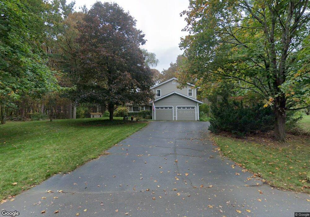
11 Normandy Dr Sudbury, MA 01776
Estimated Value: $1,129,000 - $1,606,000
4
Beds
4
Baths
2,832
Sq Ft
$471/Sq Ft
Est. Value
About This Home
This home is located at 11 Normandy Dr, Sudbury, MA 01776 and is currently estimated at $1,334,443, approximately $471 per square foot. 11 Normandy Dr is a home located in Middlesex County with nearby schools including General John Nixon Elementary School, Ephraim Curtis Middle School, and Lincoln-Sudbury Regional High School.
Ownership History
Date
Name
Owned For
Owner Type
Purchase Details
Closed on
Nov 18, 2020
Sold by
Siegel Andrew M and Siegel Mary C
Bought by
Siegel Ft
Current Estimated Value
Purchase Details
Closed on
Jan 11, 1999
Sold by
Earle Bartholomew V and Earle Lydia E
Bought by
Siegel Andrew M and Siegel Mary C
Home Financials for this Owner
Home Financials are based on the most recent Mortgage that was taken out on this home.
Original Mortgage
$337,500
Interest Rate
6.8%
Mortgage Type
Purchase Money Mortgage
Purchase Details
Closed on
Oct 20, 1987
Sold by
Edwards Leonard C
Bought by
Earle Barthlomew
Create a Home Valuation Report for This Property
The Home Valuation Report is an in-depth analysis detailing your home's value as well as a comparison with similar homes in the area
Home Values in the Area
Average Home Value in this Area
Purchase History
| Date | Buyer | Sale Price | Title Company |
|---|---|---|---|
| Siegel Ft | -- | None Available | |
| Siegel Andrew M | $437,500 | -- | |
| Earle Barthlomew | $335,500 | -- |
Source: Public Records
Mortgage History
| Date | Status | Borrower | Loan Amount |
|---|---|---|---|
| Previous Owner | Earle Barthlomew | $224,293 | |
| Previous Owner | Earle Barthlomew | $337,500 | |
| Previous Owner | Earle Barthlomew | $240,000 | |
| Previous Owner | Earle Barthlomew | $242,400 |
Source: Public Records
Tax History
| Year | Tax Paid | Tax Assessment Tax Assessment Total Assessment is a certain percentage of the fair market value that is determined by local assessors to be the total taxable value of land and additions on the property. | Land | Improvement |
|---|---|---|---|---|
| 2025 | $17,422 | $1,190,000 | $461,300 | $728,700 |
| 2024 | $16,772 | $1,148,000 | $447,700 | $700,300 |
| 2023 | $15,797 | $1,001,700 | $414,500 | $587,200 |
| 2022 | $15,445 | $855,700 | $380,100 | $475,600 |
| 2021 | $14,686 | $779,900 | $380,100 | $399,800 |
| 2020 | $14,389 | $779,900 | $380,100 | $399,800 |
| 2019 | $13,968 | $779,900 | $380,100 | $399,800 |
| 2018 | $13,724 | $765,400 | $400,100 | $365,300 |
| 2017 | $13,433 | $757,200 | $395,300 | $361,900 |
| 2016 | $13,022 | $731,600 | $380,100 | $351,500 |
| 2015 | $12,237 | $695,300 | $350,700 | $344,600 |
| 2014 | $12,224 | $678,000 | $340,300 | $337,700 |
Source: Public Records
Map
Nearby Homes
- 62 Churchill St
- 8 Twillingate Rd
- 15 Huckleberry Ln
- 11 October Rd
- 25 Poplar St
- 557 Dutton Rd Unit 2
- 30 Kendall Rd
- 25 Plantation Cir
- 45 Webster Cir
- 111 Willis Rd
- 6 Canterbury Dr
- 30 Harness Ln
- 427 Concord Rd
- 46 Brewster Rd
- 55 Widow Rites Ln
- 45 Widow Rites Ln
- 30 Rolling Ln
- 53 Pine St
- 355 Maynard Rd
- 11 Farmstead Ln Unit 11
Your Personal Tour Guide
Ask me questions while you tour the home.