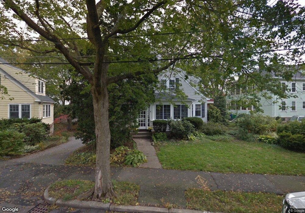
11 Normandy Rd Auburndale, MA 02466
Auburndale NeighborhoodEstimated Value: $1,397,000 - $1,649,000
3
Beds
3
Baths
1,887
Sq Ft
$790/Sq Ft
Est. Value
About This Home
This home is located at 11 Normandy Rd, Auburndale, MA 02466 and is currently estimated at $1,490,119, approximately $789 per square foot. 11 Normandy Rd is a home located in Middlesex County with nearby schools including Williams Elementary School, Charles E Brown Middle School, and Newton South High School.
Ownership History
Date
Name
Owned For
Owner Type
Purchase Details
Closed on
Jun 8, 1989
Sold by
Weisman Michael D
Bought by
Dixon John R
Current Estimated Value
Create a Home Valuation Report for This Property
The Home Valuation Report is an in-depth analysis detailing your home's value as well as a comparison with similar homes in the area
Home Values in the Area
Average Home Value in this Area
Purchase History
| Date | Buyer | Sale Price | Title Company |
|---|---|---|---|
| Dixon John R | $300,000 | -- |
Source: Public Records
Mortgage History
| Date | Status | Borrower | Loan Amount |
|---|---|---|---|
| Open | Dixon John R | $163,500 | |
| Open | Dixon John R | $295,000 | |
| Closed | Dixon John R | $295,000 |
Source: Public Records
Tax History
| Year | Tax Paid | Tax Assessment Tax Assessment Total Assessment is a certain percentage of the fair market value that is determined by local assessors to be the total taxable value of land and additions on the property. | Land | Improvement |
|---|---|---|---|---|
| 2025 | $11,506 | $1,174,100 | $822,800 | $351,300 |
| 2024 | $11,125 | $1,139,900 | $798,800 | $341,100 |
| 2023 | $10,569 | $1,038,200 | $598,500 | $439,700 |
| 2022 | $10,113 | $961,300 | $554,200 | $407,100 |
| 2021 | $8,148 | $906,900 | $522,800 | $384,100 |
| 2020 | $7,769 | $906,900 | $522,800 | $384,100 |
| 2019 | $9,201 | $880,500 | $507,600 | $372,900 |
| 2018 | $7,062 | $811,400 | $460,900 | $350,500 |
| 2017 | $8,512 | $765,500 | $434,800 | $330,700 |
| 2016 | $8,141 | $715,400 | $406,400 | $309,000 |
| 2015 | $7,762 | $668,600 | $379,800 | $288,800 |
Source: Public Records
Map
Nearby Homes
- 7 Sharon Ave Unit 7
- 1917 Commonwealth Ave Unit 1917
- 0 Duncan Rd Unit 72925240
- 194 Auburn St
- 194 Auburn St Unit 2
- 305 Webster St Unit 2
- 226 Auburn St Unit 226
- 27 Tennyson Rd
- 1754 Washington St
- 160 Pine St Unit 15
- 160 Pine St Unit 12
- 283 Melrose St
- 232 Melrose St Unit 2
- 17 Lasell St
- 40 Sewall St
- 10 Higgins St
- 26 Sewall St
- 383 Cherry St Unit 383
- 8 Elm St Unit 8
- 16 Elm St Unit 16
- 15 Normandy Rd
- 109 Auburn St Unit 1
- 105 Auburn St
- 12 Normandy Rd
- 19 Normandy Rd
- 99
- 21 Normandy Rd
- 121 Crescent St
- 123 Auburn St
- 123 Auburn St Unit 2
- 123 Auburn St Unit A
- 123 Auburn St Unit 1
- 97 Auburn St
- 117 Crescent St
- 26 Normandy Rd Unit 28
- 26 Normandy Rd Unit 2
- 26 Normandy Rd Unit 1
- 26-28 Normandy Rd Unit 2
- 16 Sharon Ave
- 16 Sharon Ave Unit 16
Your Personal Tour Guide
Ask me questions while you tour the home.