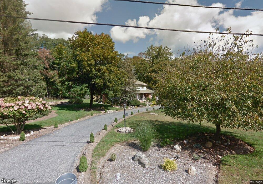
11 Northlea Dr Boonton, NJ 07005
Estimated Value: $693,000 - $774,699
Studio
--
Bath
2,344
Sq Ft
$311/Sq Ft
Est. Value
About This Home
This home is located at 11 Northlea Dr, Boonton, NJ 07005 and is currently estimated at $728,425, approximately $310 per square foot. 11 Northlea Dr is a home located in Morris County with nearby schools including Katherine D. Malone School and Copeland Middle School.
Ownership History
Date
Name
Owned For
Owner Type
Purchase Details
Closed on
Aug 24, 2016
Sold by
Derose Joseph and Derose Wendy
Bought by
Derose Joseph and Derose Wendy
Current Estimated Value
Purchase Details
Closed on
Apr 26, 2011
Sold by
Barden Eugene M and Barden Lorraine T
Bought by
Derose Joseph and Derose Wendy
Home Financials for this Owner
Home Financials are based on the most recent Mortgage that was taken out on this home.
Original Mortgage
$200,000
Outstanding Balance
$138,220
Interest Rate
4.76%
Mortgage Type
New Conventional
Estimated Equity
$590,205
Create a Home Valuation Report for This Property
The Home Valuation Report is an in-depth analysis detailing your home's value as well as a comparison with similar homes in the area
Home Values in the Area
Average Home Value in this Area
Purchase History
| Date | Buyer | Sale Price | Title Company |
|---|---|---|---|
| Derose Joseph | -- | None Available | |
| Derose Joseph | $340,000 | Fidelity Natl Title Ins Co |
Source: Public Records
Mortgage History
| Date | Status | Borrower | Loan Amount |
|---|---|---|---|
| Open | Derose Joseph | $200,000 |
Source: Public Records
Tax History
| Year | Tax Paid | Tax Assessment Tax Assessment Total Assessment is a certain percentage of the fair market value that is determined by local assessors to be the total taxable value of land and additions on the property. | Land | Improvement |
|---|---|---|---|---|
| 2025 | $12,179 | $519,100 | $272,600 | $246,500 |
| 2024 | $11,648 | $475,000 | $243,000 | $232,000 |
Source: Public Records
Map
Nearby Homes
- 15 Vista Dr
- 140 Koehler Rd
- 126 Meriden Rd
- 28 Miller Dr
- 290 Powerville Rd
- 11 Glenbourne Dr
- 6 Berton Rd
- 9 Hillview Terrace
- 8 Patrick Ct
- 17 Rockaway Valley Rd
- 17 Rockaway Valley Rd
- 9 Andrew Ln
- 338 Green Pond Rd
- 169 Green Pond Rd
- 11 High Mountain Dr
- 1 Colonial Rd
- 175 Cedar Lake E
- 25 Sunset Trail
- 541 Green Pond Rd
- 30 Edgewater Dr
Your Personal Tour Guide
Ask me questions while you tour the home.