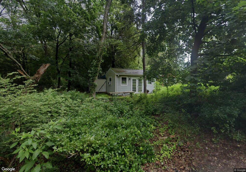
11 Oak St Haskell, NJ 07420
Estimated Value: $339,000 - $398,000
1
Bed
1
Bath
764
Sq Ft
$482/Sq Ft
Est. Value
About This Home
This home is located at 11 Oak St, Haskell, NJ 07420 and is currently estimated at $368,265, approximately $482 per square foot. 11 Oak St is a home located in Passaic County with nearby schools including Lakeland Reg High School and St Marys School.
Ownership History
Date
Name
Owned For
Owner Type
Purchase Details
Closed on
Aug 4, 2025
Sold by
County Of Passaic Sheriff
Bought by
M & T Bank
Current Estimated Value
Purchase Details
Closed on
Feb 8, 2021
Sold by
11 Oak Street Trust
Bought by
Banta Tracey and Estate For Russell Thomas Bant
Purchase Details
Closed on
Jul 28, 2020
Sold by
Banta Russell Thomas and Banta Tracey
Bought by
11 Oak Street Trust
Create a Home Valuation Report for This Property
The Home Valuation Report is an in-depth analysis detailing your home's value as well as a comparison with similar homes in the area
Home Values in the Area
Average Home Value in this Area
Purchase History
| Date | Buyer | Sale Price | Title Company |
|---|---|---|---|
| M & T Bank | $181,051 | None Listed On Document | |
| Banta Tracey | -- | None Available | |
| 11 Oak Street Trust | $150,000 | None Listed On Document |
Source: Public Records
Tax History
| Year | Tax Paid | Tax Assessment Tax Assessment Total Assessment is a certain percentage of the fair market value that is determined by local assessors to be the total taxable value of land and additions on the property. | Land | Improvement |
|---|---|---|---|---|
| 2025 | $6,219 | $144,200 | $88,200 | $56,000 |
| 2024 | $6,095 | $144,200 | $88,200 | $56,000 |
| 2022 | $5,967 | $144,200 | $88,200 | $56,000 |
| 2021 | $5,837 | $144,200 | $88,200 | $56,000 |
| 2020 | $5,772 | $144,200 | $88,200 | $56,000 |
| 2019 | $5,634 | $144,200 | $88,200 | $56,000 |
| 2018 | $5,523 | $144,200 | $88,200 | $56,000 |
| 2017 | $5,393 | $144,200 | $88,200 | $56,000 |
| 2016 | $5,260 | $144,200 | $88,200 | $56,000 |
| 2015 | $5,185 | $144,200 | $88,200 | $56,000 |
| 2014 | $5,083 | $144,200 | $88,200 | $56,000 |
Source: Public Records
Map
Nearby Homes
- 0 Shady Ave
- 19 Skyland Ave
- 13 Roger Ave
- 2 Roger Ave
- 24 Roseland Ave
- 1216 Ringwood Ave
- 1025 Ringwood Ave
- 126 Jefferson St
- 36 Elston Ct
- 43 Elston Ct Unit 301
- 5 Storms Place
- 23 Dogwood Ln
- 19 Dogwood Ln Unit 19
- 19 Dogwood Ln Unit U9F
- 344 Union Ave
- 17 Locust St
- 45 Buena Vista Way E
- 72 Burnside Place
- 59 Carter Rd Unit A2
- 26 Short Rd
Your Personal Tour Guide
Ask me questions while you tour the home.