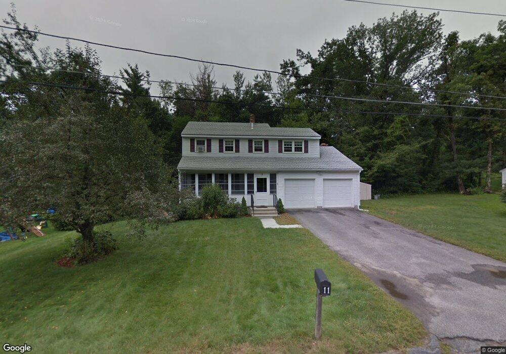
11 Oakridge Dr Rutland, MA 01543
Estimated Value: $446,000 - $552,000
4
Beds
2
Baths
1,680
Sq Ft
$306/Sq Ft
Est. Value
About This Home
This home is located at 11 Oakridge Dr, Rutland, MA 01543 and is currently estimated at $513,769, approximately $305 per square foot. 11 Oakridge Dr is a home located in Worcester County with nearby schools including Wachusett Regional High School.
Ownership History
Date
Name
Owned For
Owner Type
Purchase Details
Closed on
Oct 15, 2009
Sold by
Westerlind Christine H and Leland Driane T
Bought by
Deskins Nathaniel Aaron and Deskins Jill
Current Estimated Value
Home Financials for this Owner
Home Financials are based on the most recent Mortgage that was taken out on this home.
Original Mortgage
$264,285
Outstanding Balance
$173,102
Interest Rate
5.14%
Mortgage Type
Purchase Money Mortgage
Estimated Equity
$340,667
Create a Home Valuation Report for This Property
The Home Valuation Report is an in-depth analysis detailing your home's value as well as a comparison with similar homes in the area
Home Values in the Area
Average Home Value in this Area
Purchase History
| Date | Buyer | Sale Price | Title Company |
|---|---|---|---|
| Deskins Nathaniel Aaron | $259,000 | -- |
Source: Public Records
Mortgage History
| Date | Status | Borrower | Loan Amount |
|---|---|---|---|
| Open | Deskins Nathaniel Aaron | $264,285 |
Source: Public Records
Tax History Compared to Growth
Tax History
| Year | Tax Paid | Tax Assessment Tax Assessment Total Assessment is a certain percentage of the fair market value that is determined by local assessors to be the total taxable value of land and additions on the property. | Land | Improvement |
|---|---|---|---|---|
| 2025 | $5,524 | $387,900 | $95,400 | $292,500 |
| 2024 | $5,241 | $353,400 | $85,600 | $267,800 |
| 2023 | $4,829 | $352,000 | $80,800 | $271,200 |
| 2022 | $4,527 | $286,700 | $68,400 | $218,300 |
| 2021 | $4,345 | $260,200 | $68,400 | $191,800 |
| 2020 | $4,177 | $237,200 | $64,300 | $172,900 |
| 2019 | $4,150 | $232,000 | $58,900 | $173,100 |
| 2018 | $3,996 | $220,400 | $58,900 | $161,500 |
| 2017 | $4,038 | $220,400 | $58,900 | $161,500 |
| 2016 | $3,754 | $216,100 | $59,000 | $157,100 |
| 2015 | $3,710 | $210,200 | $59,000 | $151,200 |
| 2014 | $3,597 | $210,200 | $59,000 | $151,200 |
Source: Public Records
Map
Nearby Homes
- 21 Highland Park Rd
- 10 Beechwood Dr
- 27 Lewis St
- 7 Prescott St
- 85 Maple Ave Unit A
- 11 Lewis St
- 21 Lewis St
- 12 Lewis St
- 6 Lewis St
- 2 Forest Hill Dr
- 28 Forest Hill Dr
- 132 Fidelity Dr Unit 61
- 10 Fidelity Dr Unit 5
- 32 Pommogussett Rd Unit 1
- 176 Maple Ave Unit 1-38
- 176 Maple Ave Unit 3-25
- 176 Maple Ave Unit 2-26
- 25 Watson Ln
- 10 Soucy Dr
- 189 Maple Ave
- 9 Oakridge Dr
- 13 Oakridge Dr
- 14 Oakridge Dr
- 16 Oakridge Dr
- 16 Oakridge Dr Unit 16
- 12 Oakridge Dr
- 15 Oakridge Dr
- 7 Oakridge Dr
- 17 Oakridge Dr
- 23 Oakridge Dr
- 10 Oakridge Dr
- 27 Oakridge Dr
- 25 Oakridge Dr
- 5 Oakridge Dr
- 21 Oakridge Dr
- 19 Oakridge Dr
- 38 Juniper Ln
- 32 Cheryl Ann Dr
- 32 Cherylann Dr
- 8 Oakridge Dr