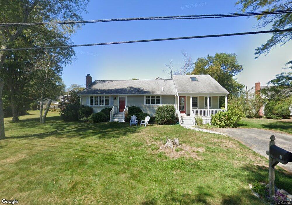
11 Old Farm Rd Scituate, MA 02066
Estimated Value: $760,000 - $1,027,000
3
Beds
2
Baths
1,448
Sq Ft
$611/Sq Ft
Est. Value
About This Home
This home is located at 11 Old Farm Rd, Scituate, MA 02066 and is currently estimated at $884,429, approximately $610 per square foot. 11 Old Farm Rd is a home located in Plymouth County with nearby schools including Wampatuck Elementary School, Lester J. Gates Middle School, and Scituate High School.
Ownership History
Date
Name
Owned For
Owner Type
Purchase Details
Closed on
Apr 20, 2007
Sold by
Hassett James E and Hassett Sheryl A
Bought by
Byrne James Patrick and Byrne Diana Christine
Current Estimated Value
Purchase Details
Closed on
Jan 29, 1991
Sold by
Murphy Rita L and Murphy Dorothy G
Bought by
Hassett James E and Hassett Scheryl A
Create a Home Valuation Report for This Property
The Home Valuation Report is an in-depth analysis detailing your home's value as well as a comparison with similar homes in the area
Home Values in the Area
Average Home Value in this Area
Purchase History
We collect this data history from publicly available records. To have your information removed, we recommend requesting removal directly through your county’s website.
| Date | Buyer | Sale Price | Title Company |
|---|---|---|---|
| Byrne James Patrick | $440,000 | -- | |
| Hassett James E | $130,000 | -- |
Source: Public Records
Mortgage History
We collect this data history from publicly available records. To have your information removed, we recommend requesting removal directly through your county’s website.
| Date | Status | Borrower | Loan Amount |
|---|---|---|---|
| Open | Hassett James E | $344,000 | |
| Closed | Hassett James E | $354,000 |
Source: Public Records
Tax History
| Year | Tax Paid | Tax Assessment Tax Assessment Total Assessment is a certain percentage of the fair market value that is determined by local assessors to be the total taxable value of land and additions on the property. | Land | Improvement |
|---|---|---|---|---|
| 2025 | $6,599 | $660,600 | $337,700 | $322,900 |
| 2024 | $6,462 | $623,700 | $307,000 | $316,700 |
| 2023 | $6,489 | $580,800 | $295,500 | $285,300 |
| 2022 | $6,489 | $514,200 | $275,200 | $239,000 |
| 2021 | $6,189 | $464,300 | $262,100 | $202,200 |
| 2020 | $5,802 | $429,800 | $252,000 | $177,800 |
| 2019 | $5,698 | $414,700 | $247,000 | $167,700 |
| 2018 | $5,634 | $403,900 | $260,700 | $143,200 |
| 2017 | $5,544 | $393,500 | $250,300 | $143,200 |
| 2016 | $5,269 | $372,600 | $229,400 | $143,200 |
| 2015 | $4,745 | $362,200 | $219,000 | $143,200 |
Source: Public Records
Map
Nearby Homes
- 81 Surfside Rd
- 430 Hatherly Rd Unit Exhibit “A”
- 430 Hatherly Rd Unit Exhibit “B”
- 105 Ann Vinal Rd
- 14 Bayberry Rd
- 14 Christopher Ln
- 67 Border St
- 6 Tilden Ave
- 26 Mordecai Lincoln Rd
- 684 Country Way
- 1 Bailey's Island Rd
- 701 Country Way
- 485 Country Way
- 817 Country Way
- 799 Country Way
- 392 S Main St
- 96 Black Horse Ln
- 38 Booth Hill Rd
- 5 Brand Blvd Unit 5
- 74 Branch St Unit 15
- 15 Old Farm Rd
- 7 Old Farm Rd
- 6 Shoal Water Rd
- 10 Shoal Water Rd
- 12 Old Farm Rd
- 8 Old Farm Rd
- 17 Old Farm Rd
- 480 Hatherly Rd
- 4 Old Farm Rd
- 486 Hatherly Rd
- 9 Shoal Water Rd Waterfront
- 16 Old Farm Rd
- 9 Shoal Water Rd
- 490 Hatherly Rd
- 5 Shoal Water Rd
- 481 Hatherly Rd
- 477 Hatherly Rd
- 485 Hatherly Rd
- 494 Hatherly Rd
- 489 Hatherly Rd
Your Personal Tour Guide
Ask me questions while you tour the home.