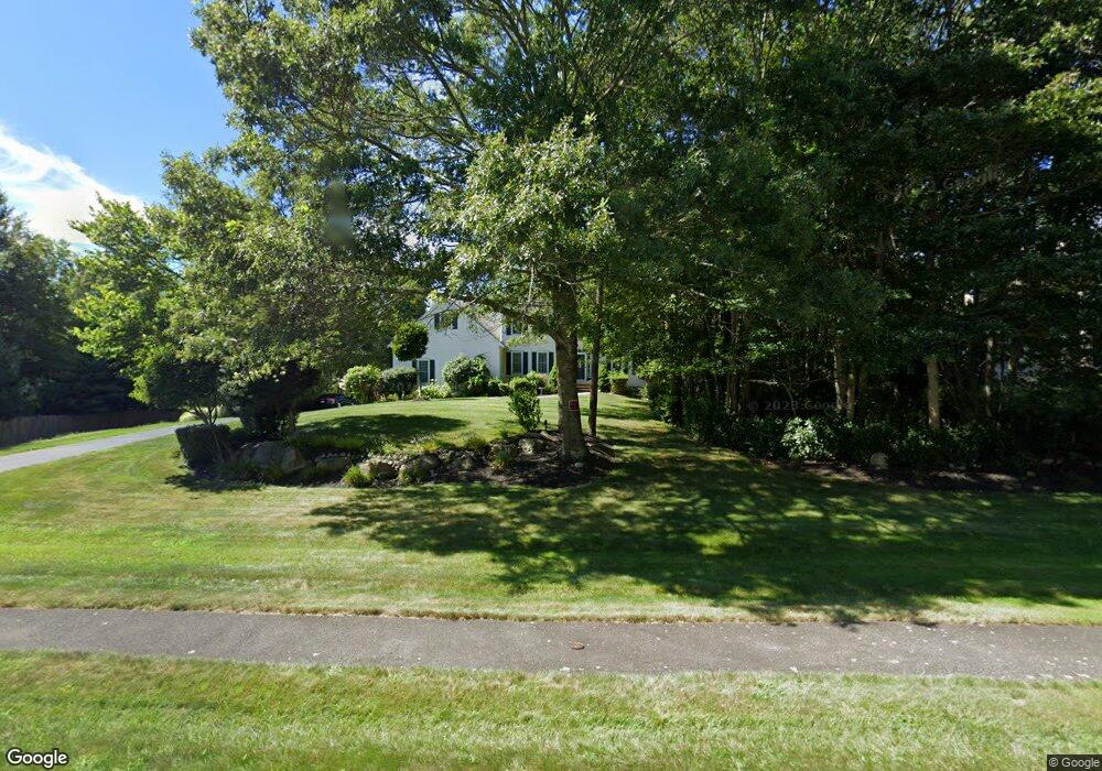
11 Old Farm Rd Westport, MA 02790
Booth/Handy Four Corners NeighborhoodEstimated Value: $864,376 - $1,132,000
3
Beds
3
Baths
3,300
Sq Ft
$292/Sq Ft
Est. Value
About This Home
This home is located at 11 Old Farm Rd, Westport, MA 02790 and is currently estimated at $962,844, approximately $291 per square foot. 11 Old Farm Rd is a home located in Bristol County with nearby schools including Alice A. Macomber Primary School, Westport Elementary School, and Westport Middle-High School.
Ownership History
Date
Name
Owned For
Owner Type
Purchase Details
Closed on
Nov 29, 2007
Sold by
Powers James A and Powers Justina
Bought by
Raposa Laine C and Raposa Paula S
Current Estimated Value
Home Financials for this Owner
Home Financials are based on the most recent Mortgage that was taken out on this home.
Original Mortgage
$417,000
Interest Rate
6.48%
Mortgage Type
Purchase Money Mortgage
Purchase Details
Closed on
Jul 31, 2002
Sold by
Carricorp Industries
Bought by
Powers James A and Powers Justina
Home Financials for this Owner
Home Financials are based on the most recent Mortgage that was taken out on this home.
Original Mortgage
$180,000
Interest Rate
6.64%
Mortgage Type
Purchase Money Mortgage
Create a Home Valuation Report for This Property
The Home Valuation Report is an in-depth analysis detailing your home's value as well as a comparison with similar homes in the area
Home Values in the Area
Average Home Value in this Area
Purchase History
| Date | Buyer | Sale Price | Title Company |
|---|---|---|---|
| Raposa Laine C | $522,000 | -- | |
| Powers James A | $399,900 | -- |
Source: Public Records
Mortgage History
| Date | Status | Borrower | Loan Amount |
|---|---|---|---|
| Open | Powers James A | $360,000 | |
| Closed | Powers James A | $417,000 | |
| Previous Owner | Powers James A | $180,000 |
Source: Public Records
Tax History Compared to Growth
Tax History
| Year | Tax Paid | Tax Assessment Tax Assessment Total Assessment is a certain percentage of the fair market value that is determined by local assessors to be the total taxable value of land and additions on the property. | Land | Improvement |
|---|---|---|---|---|
| 2025 | $5,669 | $760,900 | $264,900 | $496,000 |
| 2024 | $5,646 | $730,400 | $245,400 | $485,000 |
| 2023 | $5,503 | $674,400 | $220,000 | $454,400 |
| 2022 | $5,290 | $623,800 | $220,000 | $403,800 |
| 2021 | $5,219 | $605,400 | $200,000 | $405,400 |
| 2020 | $5,036 | $597,400 | $192,000 | $405,400 |
| 2019 | $4,611 | $557,600 | $174,000 | $383,600 |
| 2018 | $4,585 | $561,200 | $178,700 | $382,500 |
| 2017 | $4,477 | $561,700 | $178,700 | $383,000 |
| 2016 | $4,128 | $521,900 | $178,700 | $343,200 |
| 2015 | $4,064 | $512,500 | $178,700 | $333,800 |
Source: Public Records
Map
Nearby Homes
- 118 Charlotte White Rd
- 978 Sodom Rd
- 8 Strawberry Ln
- 118 Charlotte White Rd Extension
- 0 Hidden Glen Ln
- 15 Village Way
- 7 Village Way
- 8 Village Way
- Lot 0 Marcotte
- 308 Robert St
- 837 Main Rd
- 837 Main Road & Lot 2
- 4 Main Rd
- 47 Robert St
- 218 American Legion Hwy
- 101 Adamsville Rd
- 47 Fallon Dr
- 33 Moniz Dr
- 374 Crandall Rd
- 920 Drift Rd
- 7 Old Farm Rd
- 19 Old Farm Rd
- 6 Old Farm Rd
- 71 Meadowbrook Ln
- 25 Old Farm Rd
- 12 Old Farm Rd
- 2 Indian Trail Rd
- 2 Old Farm Rd
- 61 Meadowbrook Ln
- 6 Indian Trail Rd
- 31 Old Farm Rd
- 24 Old Farm Rd
- 83 Meadowbrook Ln
- 72 Meadowbrook Ln
- 78 Meadowbrook Ln
- 7 Indian Trail Rd
- 55 Meadowbrook Ln
- 66 Meadowbrook Ln
- 30 Old Farm Rd
- 1 Indian Trail Rd