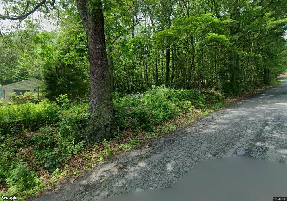
11 Old State Rd New Ringgold, PA 17960
Estimated Value: $413,000 - $539,000
3
Beds
2
Baths
2,968
Sq Ft
$158/Sq Ft
Est. Value
About This Home
This home is located at 11 Old State Rd, New Ringgold, PA 17960 and is currently estimated at $470,171, approximately $158 per square foot. 11 Old State Rd is a home located in Schuylkill County with nearby schools including Tamaqua Area Senior High School.
Ownership History
Date
Name
Owned For
Owner Type
Purchase Details
Closed on
May 8, 2025
Sold by
Kanaski Michael R
Bought by
Toback George and Toback Karen L
Current Estimated Value
Purchase Details
Closed on
Jan 4, 2024
Sold by
Kanaski Richard S
Bought by
Kanaski Michael R
Purchase Details
Closed on
Oct 22, 2021
Sold by
Lam Associates Llc
Bought by
Boyle Vincent A and Yuskauskas Jarrod C
Home Financials for this Owner
Home Financials are based on the most recent Mortgage that was taken out on this home.
Original Mortgage
$105,000
Interest Rate
2.1%
Mortgage Type
Future Advance Clause Open End Mortgage
Purchase Details
Closed on
Jun 12, 2018
Sold by
Kanaski Richard
Bought by
Kanaski Richard and Kanaski Michael R
Create a Home Valuation Report for This Property
The Home Valuation Report is an in-depth analysis detailing your home's value as well as a comparison with similar homes in the area
Home Values in the Area
Average Home Value in this Area
Purchase History
| Date | Buyer | Sale Price | Title Company |
|---|---|---|---|
| Toback George | $3,000 | None Listed On Document | |
| Toback George | $3,000 | None Listed On Document | |
| Kanaski Michael R | -- | None Listed On Document | |
| Boyle Vincent A | $140,000 | None Available | |
| Kanaski Richard | -- | None Available |
Source: Public Records
Mortgage History
| Date | Status | Borrower | Loan Amount |
|---|---|---|---|
| Previous Owner | Boyle Vincent A | $105,000 |
Source: Public Records
Tax History Compared to Growth
Tax History
| Year | Tax Paid | Tax Assessment Tax Assessment Total Assessment is a certain percentage of the fair market value that is determined by local assessors to be the total taxable value of land and additions on the property. | Land | Improvement |
|---|---|---|---|---|
| 2025 | $5,953 | $86,820 | $19,645 | $67,175 |
| 2024 | $5,541 | $86,820 | $19,645 | $67,175 |
| 2023 | $5,541 | $86,820 | $19,645 | $67,175 |
| 2022 | $5,541 | $86,820 | $19,645 | $67,175 |
| 2021 | $5,457 | $86,820 | $19,645 | $67,175 |
| 2020 | $5,296 | $86,820 | $19,645 | $67,175 |
| 2018 | $5,109 | $86,820 | $19,645 | $67,175 |
| 2017 | $5,022 | $86,820 | $19,645 | $67,175 |
| 2015 | -- | $86,820 | $19,645 | $67,175 |
| 2011 | -- | $84,125 | $0 | $0 |
Source: Public Records
Map
Nearby Homes
- 675 (LOT # 22) Arrow Rd
- 675 Arrow Rd
- 0 Ricks Rd Unit Lot16 PM-121703
- 0 Ricks Rd Unit 16 764156
- 26 Chain Cir
- 1032 Clamtown Rd
- 12 Lumber Ln
- 345 All Kings Dr
- 72 Angel Dr
- 1008 W Penn Pike
- 22 Hughes St
- 0 Overlook Dr Unit PM-137226
- 507 Whitetail Cir
- 0 Poplar Dr Unit 763341
- 0 Poplar Dr Unit PM-135456
- Lot 5 Wild Turkey Ln
- Lot 4 Wild Turkey Ln
- 0 Whitetail Crossing Rd Unit 743729
- 0 Whitetail Crossing Rd
- 1760 W Penn Pike
- 0 Sr Route 309 Unit 6707207
- 0 Sr Route 309 Unit 1009837112
- 6 Old State Rd
- 217 Arrow Rd
- 206 Arrow Rd
- 274 Beechnut Rd
- 692 Arrow Rd
- 691 Arrow Rd
- 684 Arrow Rd
- 231 Beechnut Rd
- 260 Beechnut Rd
- 687 Arrow Rd
- 676 Arrow Rd
- 672 Arrow Rd Unit 5
- 256 Beechnut Rd
- 16 Arrow Rd
- 670 Arrow Rd
- 671 Arrow Rd
- 664 Arrow Rd
- 174 Archery Club Rd
