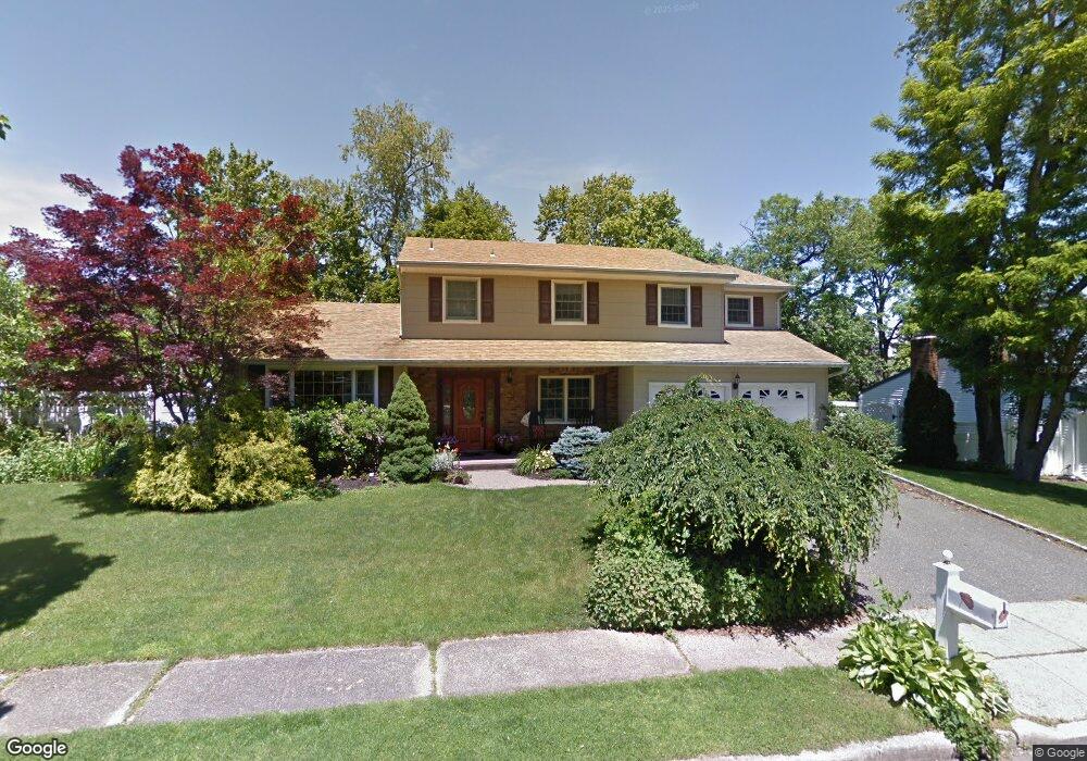
11 Oneonta Ct Centerport, NY 11721
Estimated Value: $816,176 - $934,000
--
Bed
--
Bath
--
Sq Ft
7,405
Sq Ft Lot
About This Home
This home is located at 11 Oneonta Ct, Centerport, NY 11721 and is currently estimated at $887,794. 11 Oneonta Ct is a home located in Suffolk County with nearby schools including Washington Drive Primary School, Thomas J Lahey Elementary School, and Oldfield Middle School.
Ownership History
Date
Name
Owned For
Owner Type
Purchase Details
Closed on
Oct 17, 2023
Sold by
Panettieri Joseph C and Panettieri Annemarie J
Bought by
Panettieri T T and Panettieri P
Current Estimated Value
Purchase Details
Closed on
Jul 14, 2004
Sold by
Parker Donald E and Parker Diane M
Bought by
Panettieri Joseph C and Panettieri Annemarie J
Purchase Details
Closed on
Aug 14, 2003
Sold by
Poppe C Suzanne
Bought by
Parker Donald E and Parker Diane M
Home Financials for this Owner
Home Financials are based on the most recent Mortgage that was taken out on this home.
Original Mortgage
$322,700
Interest Rate
5.69%
Mortgage Type
Purchase Money Mortgage
Purchase Details
Closed on
Feb 4, 2002
Sold by
Poppe Harold C and Suzanne Poppe C
Bought by
Poppe C Suzanne
Create a Home Valuation Report for This Property
The Home Valuation Report is an in-depth analysis detailing your home's value as well as a comparison with similar homes in the area
Home Values in the Area
Average Home Value in this Area
Purchase History
| Date | Buyer | Sale Price | Title Company |
|---|---|---|---|
| Panettieri T T | -- | -- | |
| Panettieri T T | -- | -- | |
| Panettieri Joseph C | $568,400 | Fidelity National Title Insu | |
| Panettieri Joseph C | $568,400 | Fidelity National Title Insu | |
| Parker Donald E | $520,000 | Fidelity National Title Ins | |
| Parker Donald E | $520,000 | Fidelity National Title Ins | |
| Poppe C Suzanne | -- | -- | |
| Poppe C Suzanne | -- | -- |
Source: Public Records
Mortgage History
| Date | Status | Borrower | Loan Amount |
|---|---|---|---|
| Previous Owner | Parker Donald E | $322,700 |
Source: Public Records
Tax History Compared to Growth
Tax History
| Year | Tax Paid | Tax Assessment Tax Assessment Total Assessment is a certain percentage of the fair market value that is determined by local assessors to be the total taxable value of land and additions on the property. | Land | Improvement |
|---|---|---|---|---|
| 2024 | $16,748 | $4,000 | $300 | $3,700 |
| 2023 | $8,196 | $4,000 | $300 | $3,700 |
| 2022 | $16,202 | $4,000 | $300 | $3,700 |
| 2021 | $16,004 | $4,000 | $300 | $3,700 |
| 2020 | $16,491 | $4,200 | $300 | $3,900 |
| 2019 | $16,491 | $0 | $0 | $0 |
| 2018 | $15,710 | $4,200 | $300 | $3,900 |
| 2017 | $15,710 | $4,200 | $300 | $3,900 |
| 2016 | $15,430 | $4,200 | $300 | $3,900 |
| 2015 | -- | $4,200 | $300 | $3,900 |
| 2014 | -- | $4,200 | $300 | $3,900 |
Source: Public Records
Map
Nearby Homes
- 74 Tuscarora Dr
- 349 E Main St
- 0 E Main St
- 390 E Main St
- 39 Fleets Cove Rd
- 111 Van Buren Dr
- 176 Hoover Place
- 45 Forest Dr
- 10 Courtyard Cir
- 222 Jefferson St
- 54 Bankside Dr
- 20 Cranbrook Ct
- 69 Bankside Dr
- 37 Salem Ridge Dr
- 315 Mckinley Terrace
- 115 Taft Crescent
- 9 Flower Hill Ct
- 42 Flower Hill Rd
- 15 Richard Ln
- 1000 Washington Dr