11 Par Ln Unit 2 Branson West, MO 65737
Estimated Value: $217,560 - $233,000
2
Beds
2
Baths
1,263
Sq Ft
$178/Sq Ft
Est. Value
About This Home
This home is located at 11 Par Ln Unit 2, Branson West, MO 65737 and is currently estimated at $225,140, approximately $178 per square foot. 11 Par Ln Unit 2 is a home located in Stone County with nearby schools including Reeds Spring Primary School, Reeds Spring Elementary School, and Reeds Spring Middle School.
Ownership History
Date
Name
Owned For
Owner Type
Purchase Details
Closed on
Jul 14, 2017
Sold by
Mires Maurice K
Bought by
Mcgregor James E and Mcgregor Kara F
Current Estimated Value
Purchase Details
Closed on
Apr 30, 2014
Sold by
Lessly Roger Elbert and Lessly Betty Jean
Bought by
Hammer Terry E and Hammer Debbie A
Home Financials for this Owner
Home Financials are based on the most recent Mortgage that was taken out on this home.
Original Mortgage
$74,500
Interest Rate
4.36%
Mortgage Type
Future Advance Clause Open End Mortgage
Purchase Details
Closed on
Apr 7, 2006
Sold by
Missouri Partners Inc
Bought by
Mccabe Roe C and Mccabe Colleen M
Home Financials for this Owner
Home Financials are based on the most recent Mortgage that was taken out on this home.
Original Mortgage
$133,200
Interest Rate
7.25%
Mortgage Type
Adjustable Rate Mortgage/ARM
Create a Home Valuation Report for This Property
The Home Valuation Report is an in-depth analysis detailing your home's value as well as a comparison with similar homes in the area
Home Values in the Area
Average Home Value in this Area
Purchase History
| Date | Buyer | Sale Price | Title Company |
|---|---|---|---|
| Mcgregor James E | $85,000 | None Available | |
| Hammer Terry E | -- | Hogan Land Title | |
| Mccabe Roe C | -- | -- |
Source: Public Records
Mortgage History
| Date | Status | Borrower | Loan Amount |
|---|---|---|---|
| Previous Owner | Hammer Terry E | $74,500 | |
| Previous Owner | Mccabe Roe C | $133,200 |
Source: Public Records
Tax History
| Year | Tax Paid | Tax Assessment Tax Assessment Total Assessment is a certain percentage of the fair market value that is determined by local assessors to be the total taxable value of land and additions on the property. | Land | Improvement |
|---|---|---|---|---|
| 2025 | $688 | $14,040 | -- | -- |
| 2024 | $681 | $14,040 | -- | -- |
| 2023 | $681 | $13,930 | $0 | $0 |
| 2022 | $678 | $13,430 | $0 | $0 |
| 2021 | $661 | $13,430 | $0 | $0 |
| 2020 | $582 | $13,430 | $0 | $0 |
| 2019 | $579 | $13,430 | $0 | $0 |
| 2018 | $578 | $13,430 | $0 | $0 |
| 2017 | $579 | $13,430 | $0 | $0 |
| 2016 | $563 | $13,430 | $0 | $0 |
| 2015 | $564 | $13,430 | $0 | $0 |
| 2014 | $555 | $13,430 | $0 | $0 |
| 2012 | -- | $13,430 | $0 | $0 |
Source: Public Records
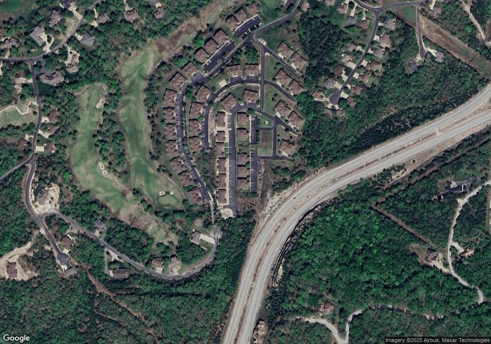
Map
Nearby Homes
- 7 Par Ln Unit 5
- 115 Bunker Dr Unit 2
- 9 Bermuda Dr Unit 3
- 9 Bermuda Dr Unit 2
- 53 Bunker Dr Unit 1
- 5 Bermuda Dr Unit 3
- 5 Bermuda Dr Unit 5
- 1271 Golf Dr Unit 2
- 85 Birdie Ln Unit 1
- 71 Bunker Dr Unit A & C
- 71 Bunker Dr Unit A
- 71 Bunker Dr Unit C
- 71 Birdie Ln Unit 3
- 31 Birdie Ln
- 15 Birdie Ln Unit 3
- 9 & 11 Bogey Ln
- 109 Cabana Ct
- 1081 Golf Dr Unit 6
- 1071 Golf Dr Unit 5
- 1069 Golf Dr Unit 6
- 11 Par Ln Unit 4
- 11 Par Ln
- 11 Par Ln Unit 6
- 11 Par Ln Unit 5
- 11 Par Ln Unit 3
- 11 Par Lane #2
- 0 Par Ln Unit 34-3 10803296
- 4 Par Ln Unit 34
- 7 Par Lane #4
- 7 Par Lane #5
- 7 Par Lane #4 Unit 4
- 19 Par Ln
- 19 Par Lane 36-6 Unit 6
- 19 Par Ln Unit 2
- 19 Par Ln Unit 6
- 19 Par Ln Unit 1
- 19 Par Ln Unit 3
- 19 Par Ln Unit 5
- 13 Par Ln Unit 3
- 7 Par Ln Unit 4
Your Personal Tour Guide
Ask me questions while you tour the home.