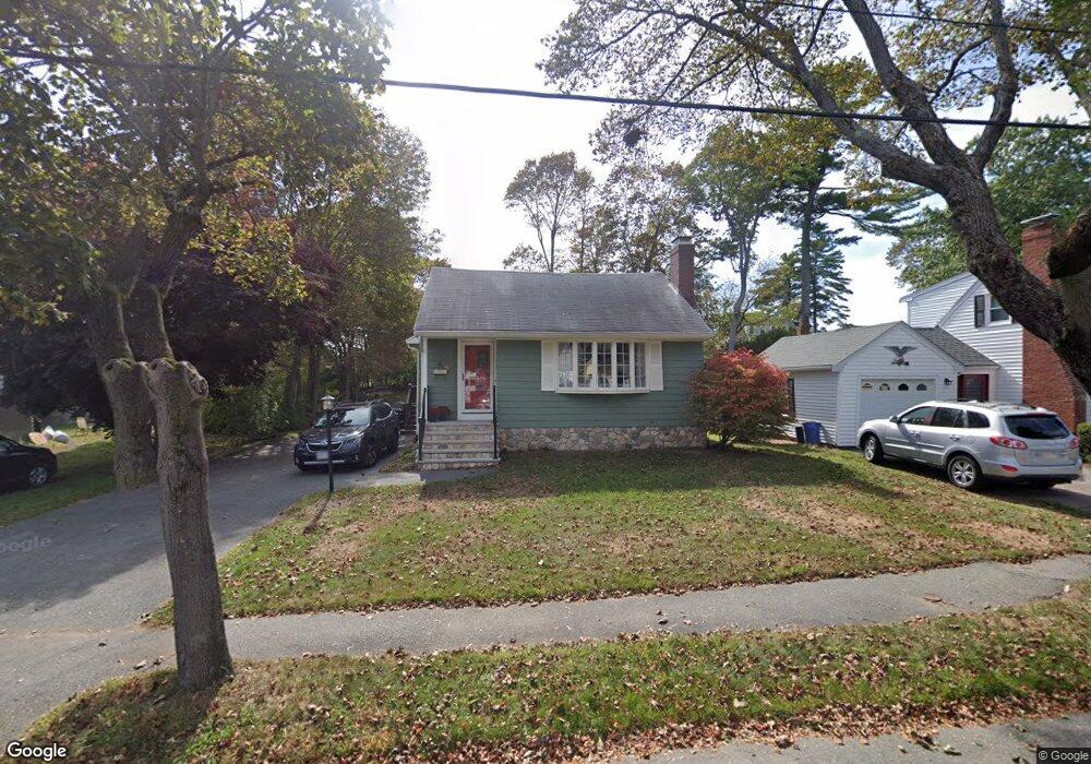
11 Parramatta Rd Beverly, MA 01915
Montserrat NeighborhoodEstimated Value: $684,000 - $906,000
3
Beds
3
Baths
1,248
Sq Ft
$647/Sq Ft
Est. Value
About This Home
This home is located at 11 Parramatta Rd, Beverly, MA 01915 and is currently estimated at $807,327, approximately $646 per square foot. 11 Parramatta Rd is a home located in Essex County with nearby schools including Beverly High School, Harborlight Montessori School, and Mrs Alexander's School.
Ownership History
Date
Name
Owned For
Owner Type
Purchase Details
Closed on
May 28, 2021
Sold by
Labrie Laurie A and Haws Susan E
Bought by
Labrie Ft and Labrie
Current Estimated Value
Purchase Details
Closed on
Apr 5, 2002
Sold by
Wiseman Marie H and Pruner Anthony J
Bought by
Haws Susan E and Labrie Laurie A
Create a Home Valuation Report for This Property
The Home Valuation Report is an in-depth analysis detailing your home's value as well as a comparison with similar homes in the area
Home Values in the Area
Average Home Value in this Area
Purchase History
| Date | Buyer | Sale Price | Title Company |
|---|---|---|---|
| Labrie Ft | -- | None Available | |
| Haws Susan E | $302,000 | -- |
Source: Public Records
Mortgage History
| Date | Status | Borrower | Loan Amount |
|---|---|---|---|
| Previous Owner | Haws Susan E | $292,800 | |
| Previous Owner | Haws Susan E | $38,000 | |
| Previous Owner | Haws Susan E | $75,000 | |
| Previous Owner | Haws Susan E | $250,000 |
Source: Public Records
Tax History
| Year | Tax Paid | Tax Assessment Tax Assessment Total Assessment is a certain percentage of the fair market value that is determined by local assessors to be the total taxable value of land and additions on the property. | Land | Improvement |
|---|---|---|---|---|
| 2025 | $7,807 | $710,400 | $447,600 | $262,800 |
| 2024 | $7,333 | $653,000 | $390,200 | $262,800 |
| 2023 | $7,027 | $624,100 | $361,500 | $262,600 |
| 2022 | $6,664 | $547,600 | $285,000 | $262,600 |
| 2021 | $6,556 | $516,200 | $271,600 | $244,600 |
| 2020 | $6,303 | $491,300 | $246,700 | $244,600 |
| 2019 | $5,921 | $455,300 | $225,700 | $229,600 |
| 2018 | $5,814 | $427,500 | $220,000 | $207,500 |
| 2017 | $5,695 | $398,800 | $191,300 | $207,500 |
| 2016 | $5,271 | $366,300 | $158,800 | $207,500 |
| 2015 | $5,168 | $366,300 | $158,800 | $207,500 |
Source: Public Records
Map
Nearby Homes
- 68 Paine Ave
- 18 James St
- 94 Essex St
- 40 Heather St Unit 204
- 5 Pickett St
- 42 Bisson St
- 9 Pinewood Ave
- 176 Hale St
- 4 Pinewood Ave
- 9 Swan St Unit 2
- 20 Meadow Rd
- 11 Pickman Rd
- 21 Roundy St
- The Cabot Collection
- 98 Northridge Rd Unit 98
- 3 Elm Top Ln
- 5 Beckford St Unit 3
- 37 Chase St
- 31 Boyles St
- 28 Arthur St Unit 3
- 13 Parramatta Rd
- 9 Parramatta Rd
- 15 Parramatta Rd
- 7 Parramatta Rd
- 8 Corning St
- 10 Parramatta Rd
- 17 Parramatta Rd
- 8 Parramatta Rd
- 5 Parramatta Rd
- 12 Corning St
- 6 Corning St
- 12 Parramatta Rd
- 6 Parramatta Rd
- 14 Parramatta Rd
- 19 Parramatta Rd
- 14 Corning St
- 4 Parramatta Rd
- 173 Essex St
- 16 Parramatta Rd
- 167 Essex St
Your Personal Tour Guide
Ask me questions while you tour the home.