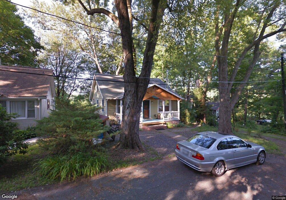
11 Pendergast Point Rd Rifton, NY 12471
Estimated Value: $294,000 - $441,000
2
Beds
6
Baths
1,260
Sq Ft
$300/Sq Ft
Est. Value
About This Home
This home is located at 11 Pendergast Point Rd, Rifton, NY 12471 and is currently estimated at $378,137, approximately $300 per square foot. 11 Pendergast Point Rd is a home with nearby schools including Kingston High School.
Ownership History
Date
Name
Owned For
Owner Type
Purchase Details
Closed on
Jul 19, 2006
Sold by
Basile Frank and Basile Peter
Bought by
Repasky Mark
Current Estimated Value
Home Financials for this Owner
Home Financials are based on the most recent Mortgage that was taken out on this home.
Original Mortgage
$159,200
Outstanding Balance
$94,618
Interest Rate
6.67%
Mortgage Type
Purchase Money Mortgage
Estimated Equity
$283,519
Create a Home Valuation Report for This Property
The Home Valuation Report is an in-depth analysis detailing your home's value as well as a comparison with similar homes in the area
Home Values in the Area
Average Home Value in this Area
Purchase History
| Date | Buyer | Sale Price | Title Company |
|---|---|---|---|
| Repasky Mark | $199,000 | None Available | |
| Repasky Mark | $199,000 | None Available |
Source: Public Records
Mortgage History
| Date | Status | Borrower | Loan Amount |
|---|---|---|---|
| Open | Repasky Mark | $159,200 | |
| Closed | Repasky Mark | $159,200 |
Source: Public Records
Tax History Compared to Growth
Tax History
| Year | Tax Paid | Tax Assessment Tax Assessment Total Assessment is a certain percentage of the fair market value that is determined by local assessors to be the total taxable value of land and additions on the property. | Land | Improvement |
|---|---|---|---|---|
| 2024 | $7,002 | $170,976 | $37,440 | $133,536 |
| 2023 | $6,943 | $170,976 | $37,440 | $133,536 |
| 2022 | $6,712 | $170,976 | $37,440 | $133,536 |
| 2021 | $6,712 | $170,976 | $37,440 | $133,536 |
| 2020 | $5,566 | $170,976 | $37,440 | $133,536 |
| 2019 | $5,080 | $170,976 | $37,440 | $133,536 |
| 2018 | $5,613 | $170,976 | $37,440 | $133,536 |
| 2017 | $5,164 | $155,976 | $37,440 | $118,536 |
| 2016 | $5,106 | $155,976 | $37,440 | $118,536 |
| 2015 | -- | $155,976 | $37,440 | $118,536 |
| 2014 | -- | $155,976 | $37,440 | $118,536 |
Source: Public Records
Map
Nearby Homes
- 1765 New York 213
- 1792 State Route 213
- 1883 Route 213
- 1250 County Route 351
- 23 Maple St
- 1634 Route 213
- 103 Carney Rd
- 00 Carney Rd
- 1930 Main St
- 1282 Old Post Rd
- 37 Church Hill Rd
- 472 Lefever Falls Rd
- 71-79 Dashville Rd
- 71 Dashville Rd
- 64 Dashville Rd
- 988 Route 32
- 1015 Creek Locks Rd
- 857 Route 32
- 857 New York 32
- 119 Orchard St
- 9 Pendergast Point Rd
- 7 Pendergast Point Rd
- 15 Pendergast Point Rd
- 5 Pendergast Point Rd
- 1757 Route 213
- 1757 New York 213
- 1739 State Route 213
- 1754 State Route 213
- 1758 State Route 213
- 1748 State Route 213
- 1765 State Route 213
- 1760 Route 213
- 1760 New York 213
- 1760 State Route 213
- 1760 State Route 213
- 1765 Route 213
- 1765 New York 213
- 1767 New York 213
- 1767 State Route 213
- 1769 Route 213 St