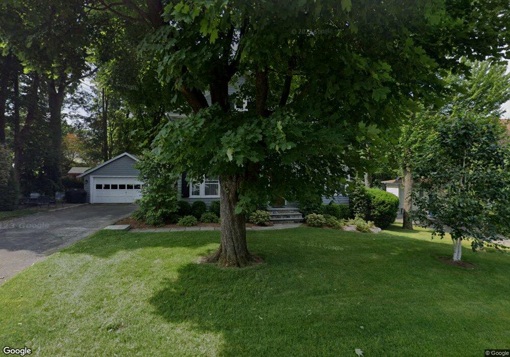
11 Pershing St Norwalk, CT 06851
Wolfpit NeighborhoodEstimated Value: $624,000 - $695,006
3
Beds
1
Bath
1,388
Sq Ft
$483/Sq Ft
Est. Value
About This Home
This home is located at 11 Pershing St, Norwalk, CT 06851 and is currently estimated at $669,752, approximately $482 per square foot. 11 Pershing St is a home located in Fairfield County with nearby schools including Tracey School, West Rocks Middle School, and Norwalk High School.
Ownership History
Date
Name
Owned For
Owner Type
Purchase Details
Closed on
May 21, 1985
Bought by
Shortliffe Delbert B and Shortliffe Jean S
Current Estimated Value
Create a Home Valuation Report for This Property
The Home Valuation Report is an in-depth analysis detailing your home's value as well as a comparison with similar homes in the area
Home Values in the Area
Average Home Value in this Area
Purchase History
We collect this data history from publicly available records. To have your information removed, we recommend requesting removal directly through your county’s website.
| Date | Buyer | Sale Price | Title Company |
|---|---|---|---|
| Shortliffe Delbert B | $146,000 | -- |
Source: Public Records
Mortgage History
We collect this data history from publicly available records. To have your information removed, we recommend requesting removal directly through your county’s website.
| Date | Status | Borrower | Loan Amount |
|---|---|---|---|
| Open | Shortliffe Delbert B | $200,000 | |
| Closed | Shortliffe Delbert B | $204,500 |
Source: Public Records
Tax History
| Year | Tax Paid | Tax Assessment Tax Assessment Total Assessment is a certain percentage of the fair market value that is determined by local assessors to be the total taxable value of land and additions on the property. | Land | Improvement |
|---|---|---|---|---|
| 2025 | $9,603 | $401,040 | $184,350 | $216,690 |
| 2024 | $9,461 | $401,040 | $184,350 | $216,690 |
| 2023 | $7,666 | $304,690 | $149,490 | $155,200 |
| 2022 | $7,523 | $304,690 | $149,490 | $155,200 |
| 2021 | $6,571 | $273,240 | $149,490 | $123,750 |
| 2020 | $6,568 | $273,240 | $149,490 | $123,750 |
| 2019 | $6,384 | $273,240 | $149,490 | $123,750 |
| 2018 | $7,398 | $277,460 | $170,050 | $107,410 |
| 2017 | $7,143 | $277,460 | $170,050 | $107,410 |
| 2016 | $7,075 | $277,460 | $170,050 | $107,410 |
| 2015 | $7,056 | $277,460 | $170,050 | $107,410 |
| 2014 | $6,964 | $277,460 | $170,050 | $107,410 |
Source: Public Records
Map
Nearby Homes
- 8 Merrill Rd
- 2 1/2 Newtown Terrace
- 49 Newtown Ave
- 4 Yale St
- 12 Hawthorne Dr
- 6 Wildmere Ln
- 11 Margaret St
- 1 Walter Ave Unit 49
- 1 Walter Ave Unit 42
- 27 Fairweather Dr
- 43 George Ave
- 50 Barbara Dr
- 32 W Rocks Rd
- 40 Walter Ave
- 21 W Rocks Rd
- 60 Wolfpit Ave Unit 1B
- 29 Morgan Ave
- 81 Wolfpit Ave Unit B3
- 130 Main St Unit E4
- 63 Ward St Unit 2C
- 13 Roosevelt St
- 15 Roosevelt St
- 11 Roosevelt St
- 17 Roosevelt St
- 7 Roosevelt St
- 15 Pershing St
- 19 Roosevelt St
- 17 Pershing St
- 7 Pershing St
- 16 Roosevelt St
- 14 Roosevelt St
- 18 Roosevelt St
- 21 Roosevelt St
- 12 Roosevelt St
- 20 Roosevelt St
- 5 Pershing St
- 45 Dry Hill Rd
- 10 Roosevelt St
- 22 Roosevelt St
- 3 Pershing St
Your Personal Tour Guide
Ask me questions while you tour the home.