11 Pheasant Hill Rd Kunkletown, PA 18058
Estimated Value: $336,221 - $377,000
3
Beds
2
Baths
1,456
Sq Ft
$243/Sq Ft
Est. Value
About This Home
This home is located at 11 Pheasant Hill Rd, Kunkletown, PA 18058 and is currently estimated at $354,305, approximately $243 per square foot. 11 Pheasant Hill Rd is a home located in Carbon County with nearby schools including Palmerton Area High School.
Ownership History
Date
Name
Owned For
Owner Type
Purchase Details
Closed on
Mar 9, 2010
Sold by
Delaney James F
Bought by
Kocher Benjamin W and Kocher Holly M
Current Estimated Value
Home Financials for this Owner
Home Financials are based on the most recent Mortgage that was taken out on this home.
Original Mortgage
$219,622
Outstanding Balance
$145,852
Interest Rate
5.02%
Mortgage Type
VA
Estimated Equity
$208,453
Create a Home Valuation Report for This Property
The Home Valuation Report is an in-depth analysis detailing your home's value as well as a comparison with similar homes in the area
Home Values in the Area
Average Home Value in this Area
Purchase History
| Date | Buyer | Sale Price | Title Company |
|---|---|---|---|
| Kocher Benjamin W | $215,000 | None Available |
Source: Public Records
Mortgage History
| Date | Status | Borrower | Loan Amount |
|---|---|---|---|
| Open | Kocher Benjamin W | $219,622 |
Source: Public Records
Tax History Compared to Growth
Tax History
| Year | Tax Paid | Tax Assessment Tax Assessment Total Assessment is a certain percentage of the fair market value that is determined by local assessors to be the total taxable value of land and additions on the property. | Land | Improvement |
|---|---|---|---|---|
| 2025 | $4,733 | $56,400 | $13,750 | $42,650 |
| 2024 | $4,507 | $56,400 | $13,750 | $42,650 |
| 2023 | $4,352 | $56,400 | $13,750 | $42,650 |
| 2022 | $4,196 | $56,400 | $13,750 | $42,650 |
| 2021 | $4,062 | $56,400 | $13,750 | $42,650 |
| 2020 | $4,006 | $56,400 | $13,750 | $42,650 |
| 2019 | $3,893 | $56,400 | $13,750 | $42,650 |
| 2018 | $3,893 | $56,400 | $13,750 | $42,650 |
| 2017 | $3,823 | $56,400 | $13,750 | $42,650 |
| 2016 | -- | $56,400 | $13,750 | $42,650 |
| 2015 | -- | $56,400 | $13,750 | $42,650 |
| 2014 | -- | $56,400 | $13,750 | $42,650 |
Source: Public Records
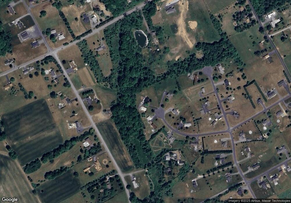
Map
Nearby Homes
- 125 Hillview Rd
- 85 Panorama Cir
- 90 Halina Way
- 2 T425
- 157 Viewtop Rd
- 229 Deer Path
- 1101 Red Fox Ct Unit Ct 9
- 0 T425
- 0 Log Fence Rd Unit PACC2006852
- 0 Log Fence Rd Unit PM-136800
- 0 Log Fence Rd Unit 767042
- 175 Basket Ln
- 1160 Dayne Dr
- 0 Dayne Dr
- 424 Mark Ln
- 969 Hideaway Hill Rd
- 207 Scenic Dr
- 150 Red Oak Dr
- 209 Floyd Dr
- Lot 32 Greenview Ct
- 275 Pheasant Hill Dr
- 255 Pheasant Hill Dr
- 260 Pheasant Hill Dr
- 230 Pheasant Hill Dr
- 225 Pheasant Hill Dr
- 200 Pheasant Hill Dr
- 225 Pheasant Hill Dr
- 265 Pheasant Hill Rd
- 285 Buttercup Way
- 235 Buttercup Way
- 195 Pheasant Hill Dr
- 215 Buttercup Way
- 1010 Trachsville Hill Rd
- 8120 Poho Poco Dr
- 1160 Trachsville Hill Rd
- 8140 Pohopoco Dr
- 165 Buttercup Way
- 8120 Pohopoco Dr
- 1085 Trachsville Hill Rd
- 135 Buttercup Way