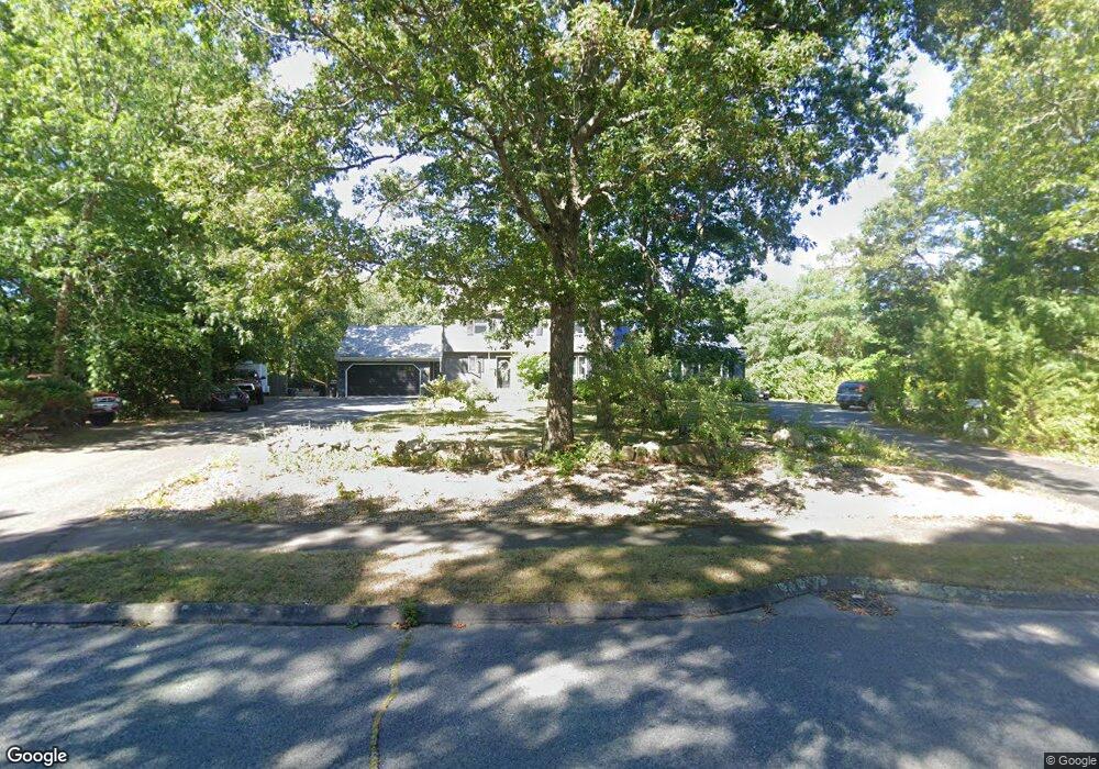
11 Pierce Way E East Freetown, MA 02717
Estimated Value: $739,000 - $815,000
4
Beds
4
Baths
2,876
Sq Ft
$271/Sq Ft
Est. Value
About This Home
This home is located at 11 Pierce Way E, East Freetown, MA 02717 and is currently estimated at $778,690, approximately $270 per square foot. 11 Pierce Way E is a home located in Bristol County with nearby schools including Freetown Elementary School, George R Austin Intermediate School, and Freetown-Lakeville Middle School.
Ownership History
Date
Name
Owned For
Owner Type
Purchase Details
Closed on
Jun 4, 2019
Sold by
Demelo Maria M and Demelo Julio M
Bought by
Demelo Julio M and Demelo Maria M
Current Estimated Value
Purchase Details
Closed on
Jul 31, 2007
Sold by
Demelo Julio M and Demelo Maria M
Bought by
Demelo Caitlin M and Demelo Julio M
Create a Home Valuation Report for This Property
The Home Valuation Report is an in-depth analysis detailing your home's value as well as a comparison with similar homes in the area
Home Values in the Area
Average Home Value in this Area
Purchase History
| Date | Buyer | Sale Price | Title Company |
|---|---|---|---|
| Demelo Julio M | -- | -- | |
| Demelo Caitlin M | -- | -- |
Source: Public Records
Tax History Compared to Growth
Tax History
| Year | Tax Paid | Tax Assessment Tax Assessment Total Assessment is a certain percentage of the fair market value that is determined by local assessors to be the total taxable value of land and additions on the property. | Land | Improvement |
|---|---|---|---|---|
| 2025 | $7,356 | $742,300 | $188,300 | $554,000 |
| 2024 | $7,309 | $700,800 | $177,600 | $523,200 |
| 2023 | $7,157 | $668,300 | $160,000 | $508,300 |
| 2022 | $6,889 | $571,200 | $135,500 | $435,700 |
| 2021 | $6,671 | $525,300 | $123,200 | $402,100 |
| 2020 | $6,657 | $511,300 | $118,500 | $392,800 |
| 2019 | $6,225 | $473,400 | $118,200 | $355,200 |
| 2018 | $5,863 | $440,500 | $118,200 | $322,300 |
| 2017 | $5,721 | $429,500 | $118,200 | $311,300 |
| 2016 | $5,464 | $417,400 | $114,800 | $302,600 |
| 2015 | $5,289 | $410,000 | $109,600 | $300,400 |
| 2014 | $4,855 | $385,000 | $112,500 | $272,500 |
Source: Public Records
Map
Nearby Homes
- 144 Chace Rd
- 150 Quanapoag Rd
- Lot 2/3 Quanapoag Rd
- 195 Slab Bridge Rd
- 0 Costa Dr
- 599 Quanapoag Rd
- 1475 Braley Rd Unit 17
- 264 Collins Corner Rd
- 13 Luscomb Ln
- 16 Swallow St
- 4597 Acushnet Ave
- 1069 Cherokee St
- 24 Bells Brook Rd
- 111 High St
- 353 Upland St
- 64 Blaze Rd
- 319 Northwest St
- 300 High Hill Rd
- 210 Heritage Dr
- 34 Poplar Rd