11 Pin Oak Ct Basking Ridge, NJ 07920
Estimated Value: $1,586,000 - $1,810,000
--
Bed
--
Bath
3,108
Sq Ft
$539/Sq Ft
Est. Value
About This Home
This home is located at 11 Pin Oak Ct, Basking Ridge, NJ 07920 and is currently estimated at $1,674,507, approximately $538 per square foot. 11 Pin Oak Ct is a home located in Somerset County with nearby schools including Cedar Hill Elementary School, William Annin Middle School, and Ridge High School.
Ownership History
Date
Name
Owned For
Owner Type
Purchase Details
Closed on
May 2, 2011
Sold by
Gayda Michael D and Gayda Patricia J
Bought by
Aiello John F and Aiello Hazel
Current Estimated Value
Home Financials for this Owner
Home Financials are based on the most recent Mortgage that was taken out on this home.
Original Mortgage
$240,000
Outstanding Balance
$14,099
Interest Rate
4.12%
Mortgage Type
New Conventional
Estimated Equity
$1,660,408
Purchase Details
Closed on
Sep 3, 1996
Sold by
Yula Lynn
Bought by
Gayda Michael and Gayda Patricia
Home Financials for this Owner
Home Financials are based on the most recent Mortgage that was taken out on this home.
Original Mortgage
$400,000
Interest Rate
8.18%
Create a Home Valuation Report for This Property
The Home Valuation Report is an in-depth analysis detailing your home's value as well as a comparison with similar homes in the area
Home Values in the Area
Average Home Value in this Area
Purchase History
| Date | Buyer | Sale Price | Title Company |
|---|---|---|---|
| Aiello John F | $990,000 | None Available | |
| Gayda Michael | $663,000 | -- |
Source: Public Records
Mortgage History
| Date | Status | Borrower | Loan Amount |
|---|---|---|---|
| Open | Aiello John F | $240,000 | |
| Previous Owner | Gayda Michael | $400,000 |
Source: Public Records
Tax History Compared to Growth
Tax History
| Year | Tax Paid | Tax Assessment Tax Assessment Total Assessment is a certain percentage of the fair market value that is determined by local assessors to be the total taxable value of land and additions on the property. | Land | Improvement |
|---|---|---|---|---|
| 2025 | $22,832 | $1,441,800 | $490,300 | $951,500 |
| 2024 | $22,832 | $1,283,400 | $445,300 | $838,100 |
| 2023 | $22,572 | $1,196,800 | $445,300 | $751,500 |
| 2022 | $22,274 | $1,107,600 | $445,300 | $662,300 |
| 2021 | $22,410 | $1,062,100 | $425,300 | $636,800 |
| 2020 | $21,417 | $1,022,800 | $430,400 | $592,400 |
| 2019 | $20,840 | $1,024,600 | $430,400 | $594,200 |
| 2018 | $20,645 | $1,029,700 | $435,500 | $594,200 |
| 2017 | $20,932 | $1,052,400 | $435,500 | $616,900 |
| 2016 | $20,725 | $1,062,300 | $437,400 | $624,900 |
| 2015 | $20,965 | $1,094,200 | $437,400 | $656,800 |
| 2014 | $21,288 | $1,071,500 | $437,400 | $634,100 |
Source: Public Records
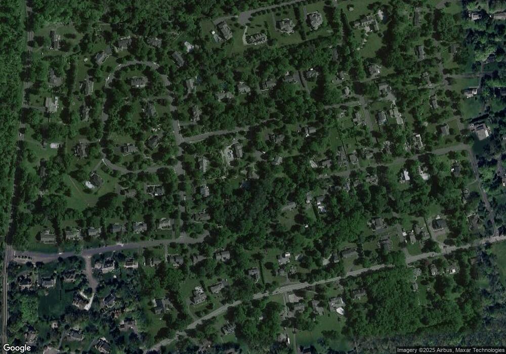
Map
Nearby Homes
- 41 Smithfield Ct Unit 5
- 48 Commonwealth Dr Ondo
- 185 Jamestown Rd
- 488 King George Rd
- 21 Alexandria Way
- 49 Alexandria Way Unit 5
- 95 Jamestown Rd Ondo
- 71 Alexandria Way Unit 3
- 155 Jamestown Rd
- 23 Hampton Ct
- 138 Potomac Dr Condo
- 168 Potomac Dr Condo Unit 168
- 138 Alexandria Way Condo Unit 138
- 192 Potomac Dr Condo Unit 192
- 280 Alexandria Way
- 176 Potomac Dr
- 1 Potomac Dr Condo
- 242 Alexandria Way
- 103 Potomac Dr
- 55 Potomac Dr
- 1 Pin Oak Ct
- 10 Pin Oak Ct
- 1 Deer Creek Dr
- 65 Highland Ave
- 9 Deer Creek Dr
- 20 Hunters Ln
- 44 Pheasant Run Dr
- 71 Highland Ave
- 44 Pheasant Run Dr
- 76 Highland Ave
- 10 Hunters Ln
- 75 Highland Ave
- 49 Pheasant Run Dr
- 18 Deer Creek Dr
- 33 Hunters Ln
- 25 Hunters Ln
- 77 Highland Ave
- 76 Deer Creek Dr
- 36 Pheasant Run Dr
- 80 Highland Ave