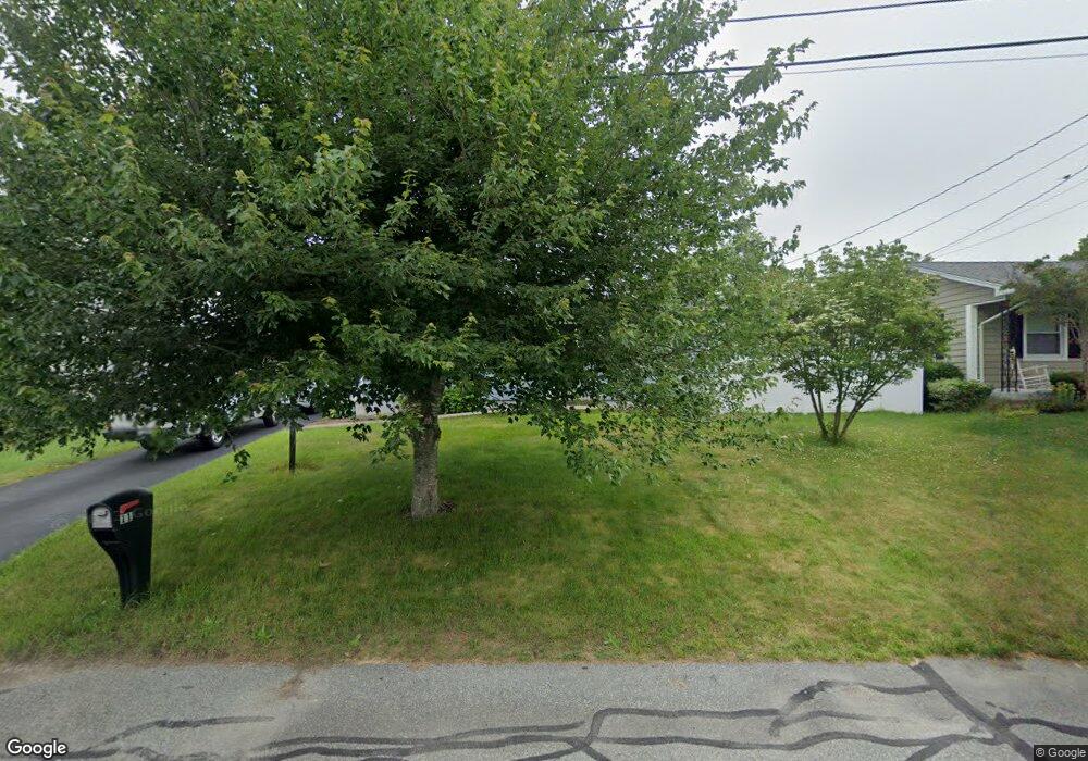
11 Poplar Rd New Bedford, MA 02745
Estimated Value: $376,000 - $443,000
2
Beds
1
Bath
850
Sq Ft
$475/Sq Ft
Est. Value
About This Home
This home is located at 11 Poplar Rd, New Bedford, MA 02745 and is currently estimated at $403,446, approximately $474 per square foot. 11 Poplar Rd is a home located in Bristol County with nearby schools including Casimir Pulaski Elementary School, Normandin Middle School, and New Bedford High School.
Ownership History
Date
Name
Owned For
Owner Type
Purchase Details
Closed on
Nov 12, 2015
Sold by
Ricker Yolanda R
Bought by
Ricker James E
Current Estimated Value
Purchase Details
Closed on
Sep 5, 2007
Sold by
Ricker James E
Bought by
Ricker Yolanda R
Purchase Details
Closed on
Jul 26, 2002
Sold by
Sousa Antone R
Bought by
Ricker James E
Purchase Details
Closed on
Jul 25, 2000
Sold by
Moura Jose D and Moura Olga F
Bought by
Sousa Antone R
Purchase Details
Closed on
Jun 30, 1989
Sold by
Fleury Marie B P
Bought by
Moura Jose D
Create a Home Valuation Report for This Property
The Home Valuation Report is an in-depth analysis detailing your home's value as well as a comparison with similar homes in the area
Home Values in the Area
Average Home Value in this Area
Purchase History
| Date | Buyer | Sale Price | Title Company |
|---|---|---|---|
| Ricker James E | -- | -- | |
| Ricker James E | -- | -- | |
| Ricker Yolanda R | -- | -- | |
| Ricker Yolanda R | -- | -- | |
| Ricker James E | $150,000 | -- | |
| Ricker James E | $150,000 | -- | |
| Sousa Antone R | $110,000 | -- | |
| Sousa Antone R | $110,000 | -- | |
| Moura Jose D | $108,000 | -- |
Source: Public Records
Mortgage History
| Date | Status | Borrower | Loan Amount |
|---|---|---|---|
| Previous Owner | Moura Jose D | $147,000 | |
| Previous Owner | Moura Jose D | $128,800 |
Source: Public Records
Tax History Compared to Growth
Tax History
| Year | Tax Paid | Tax Assessment Tax Assessment Total Assessment is a certain percentage of the fair market value that is determined by local assessors to be the total taxable value of land and additions on the property. | Land | Improvement |
|---|---|---|---|---|
| 2025 | $3,894 | $344,300 | $128,000 | $216,300 |
| 2024 | $3,844 | $320,300 | $139,200 | $181,100 |
| 2023 | $3,784 | $264,800 | $112,000 | $152,800 |
| 2022 | $3,465 | $223,000 | $104,000 | $119,000 |
| 2021 | $3,411 | $218,800 | $104,000 | $114,800 |
| 2020 | $3,426 | $212,000 | $104,000 | $108,000 |
| 2019 | $3,355 | $203,700 | $100,000 | $103,700 |
| 2018 | $3,156 | $189,800 | $100,000 | $89,800 |
| 2017 | $3,023 | $181,100 | $98,000 | $83,100 |
| 2016 | $2,864 | $173,700 | $96,000 | $77,700 |
| 2015 | $2,641 | $167,900 | $92,000 | $75,900 |
| 2014 | $2,524 | $166,500 | $90,000 | $76,500 |
Source: Public Records
Map
Nearby Homes
- 34 Poplar Rd
- 64 Blaze Rd
- 1063 Westgate St
- 210 Heritage Dr
- SS Charbonneau Ln
- 26 Blueberry Dr
- 145 Heritage Dr
- 1069 Cherokee St
- 16 Swallow St
- 13 Luscomb Ln
- 62 Longview Rd
- 2 Woodland Rd
- 8 Holly Tree Ln
- 700 Pine Hill Dr
- 1573 Braley Rd Unit 39
- 888 Hillcrest Rd
- 1269 Bartlett St
- 1599 Braley Rd Unit 68
- 12 Randall St
- 4597 Acushnet Ave
- 19 Poplar Rd
- 5 Poplar Rd
- 10 Cottonwood Rd
- 4 Cottonwood Rd
- 18 Cottonwood Rd
- 12 Poplar Rd
- 27 Poplar Rd
- 4 Poplar Rd
- 0 Laurelwood Dr
- 26 Cottonwood Rd
- 35 Hill Rd
- 114 Laurelwood Dr
- 110 Laurelwood Dr
- 28 Cotton Candy Ln
- 7 Cottonwood Rd
- 28 Hill Rd
- 28 Hill Rd Unit 2
- 35 Poplar Rd
- 118 Laurelwood Dr
- 15 Cottonwood Rd