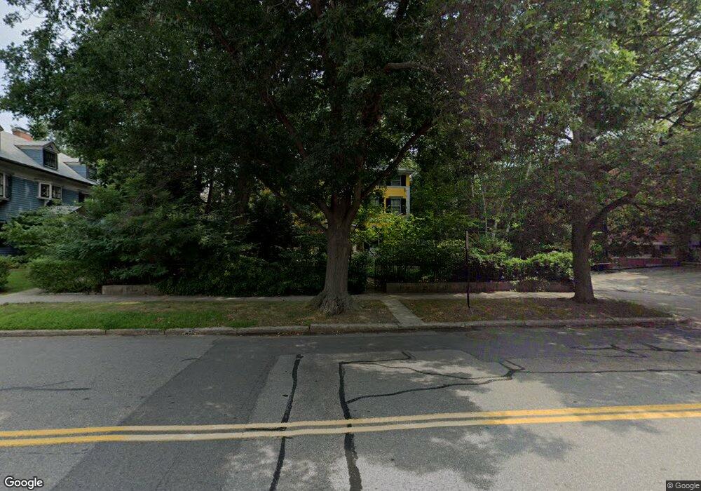
11 Powell St Brookline, MA 02446
Coolidge Corner NeighborhoodEstimated Value: $3,739,000 - $4,550,000
4
Beds
6
Baths
4,376
Sq Ft
$902/Sq Ft
Est. Value
About This Home
This home is located at 11 Powell St, Brookline, MA 02446 and is currently estimated at $3,949,230, approximately $902 per square foot. 11 Powell St is a home located in Norfolk County with nearby schools including Amos A. Lawrence School, Brookline High School, and Match Charter Public School.
Ownership History
Date
Name
Owned For
Owner Type
Purchase Details
Closed on
May 2, 1989
Sold by
Arvidson Rolf
Bought by
Livingston David M
Current Estimated Value
Create a Home Valuation Report for This Property
The Home Valuation Report is an in-depth analysis detailing your home's value as well as a comparison with similar homes in the area
Home Values in the Area
Average Home Value in this Area
Purchase History
| Date | Buyer | Sale Price | Title Company |
|---|---|---|---|
| Livingston David M | $662,500 | -- |
Source: Public Records
Mortgage History
| Date | Status | Borrower | Loan Amount |
|---|---|---|---|
| Open | Livingston David M | $544,000 | |
| Closed | Livingston David M | $544,000 | |
| Closed | Livingston David M | $565,000 | |
| Closed | Livingston David M | $88,871 |
Source: Public Records
Tax History Compared to Growth
Tax History
| Year | Tax Paid | Tax Assessment Tax Assessment Total Assessment is a certain percentage of the fair market value that is determined by local assessors to be the total taxable value of land and additions on the property. | Land | Improvement |
|---|---|---|---|---|
| 2025 | $31,655 | $3,207,200 | $1,243,100 | $1,964,100 |
| 2024 | $30,217 | $3,092,800 | $1,195,200 | $1,897,600 |
| 2023 | $28,516 | $2,860,200 | $1,078,400 | $1,781,800 |
| 2022 | $27,759 | $2,724,100 | $1,027,100 | $1,697,000 |
| 2021 | $25,669 | $2,619,300 | $987,600 | $1,631,700 |
| 2020 | $23,519 | $2,488,800 | $878,100 | $1,610,700 |
| 2019 | $22,385 | $2,389,000 | $855,000 | $1,534,000 |
| 2018 | $21,510 | $2,273,800 | $736,500 | $1,537,300 |
| 2017 | $21,194 | $2,145,100 | $694,800 | $1,450,300 |
| 2016 | $21,661 | $2,078,800 | $649,400 | $1,429,400 |
| 2015 | $20,749 | $1,942,800 | $606,900 | $1,335,900 |
| 2014 | $20,622 | $1,810,500 | $494,700 | $1,315,800 |
Source: Public Records
Map
Nearby Homes
- 18 Browne St Unit 2
- 56 Marshal St Unit 1
- 178 Ivy St
- 123 Sewall Ave Unit LC
- 17 James St Unit 1
- 79 Pleasant St Unit 4
- 180 Ivy St
- 1265 Beacon St Unit 501
- 1265 Beacon St Unit 404
- 1265 Beacon St Unit 601
- 20 Chapel St Unit B811
- 15 Thatcher St Unit F22
- 19 Thatcher St Unit E13
- 151 Longwood Ave Unit 1
- 50 Longwood Ave Unit 712
- 50 Longwood Ave Unit 611
- 50 Longwood Ave Unit 518
- 60 Longwood Ave Unit 403
- 60 Longwood Ave Unit 802
- 60 Longwood Ave Unit 301
- 14 Amory St
- 19 Powell St Unit 21
- 1160 Beacon St Unit PHB
- 1160 Beacon St Unit PHA
- 1160 Beacon St Unit 304
- 1160 Beacon St Unit 303
- 1160 Beacon St Unit 302
- 1160 Beacon St Unit 301
- 1160 Beacon St Unit 205
- 1160 Beacon St Unit 204
- 1160 Beacon St Unit 201
- 1160 Beacon St Unit 104
- 1160 Beacon St Unit 103
- 1160 Beacon St Unit 102
- 1160 Beacon St Unit 101
- 20 Amory St
- 1170 Beacon St
- 1170 Beacon St
- 1170 Beacon St Unit 100
- 29 Powell St