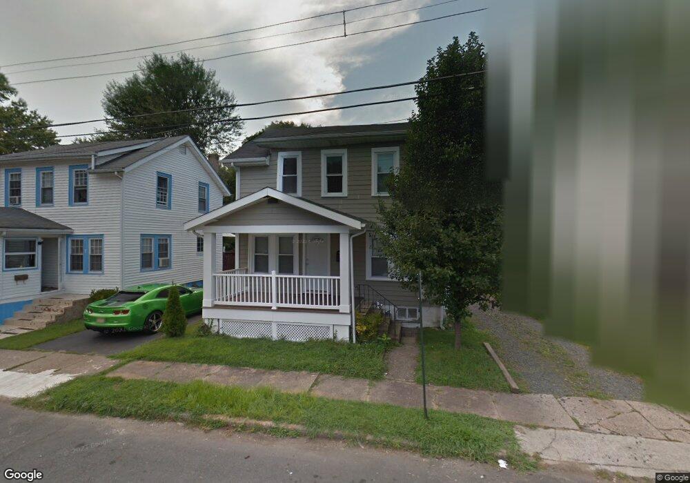
11 Preston Ave Ewing, NJ 08618
Parkway Village NeighborhoodEstimated Value: $266,000 - $366,000
--
Bed
--
Bath
1,056
Sq Ft
$286/Sq Ft
Est. Value
About This Home
This home is located at 11 Preston Ave, Ewing, NJ 08618 and is currently estimated at $301,835, approximately $285 per square foot. 11 Preston Ave is a home located in Mercer County with nearby schools including Ewing High School, The Village Charter School, and Christina Seix Academy.
Ownership History
Date
Name
Owned For
Owner Type
Purchase Details
Closed on
Jun 16, 2006
Sold by
Anderson Paul
Bought by
Gary Peter
Current Estimated Value
Home Financials for this Owner
Home Financials are based on the most recent Mortgage that was taken out on this home.
Original Mortgage
$165,300
Outstanding Balance
$97,346
Interest Rate
6.6%
Estimated Equity
$204,489
Purchase Details
Closed on
May 17, 1996
Sold by
Reside George
Bought by
Anderson Paul and Anderson Tanya
Home Financials for this Owner
Home Financials are based on the most recent Mortgage that was taken out on this home.
Original Mortgage
$91,000
Interest Rate
7.77%
Mortgage Type
FHA
Create a Home Valuation Report for This Property
The Home Valuation Report is an in-depth analysis detailing your home's value as well as a comparison with similar homes in the area
Home Values in the Area
Average Home Value in this Area
Purchase History
| Date | Buyer | Sale Price | Title Company |
|---|---|---|---|
| Gary Peter | $174,000 | -- | |
| Anderson Paul | $91,300 | -- |
Source: Public Records
Mortgage History
| Date | Status | Borrower | Loan Amount |
|---|---|---|---|
| Open | Gary Peter | $165,300 | |
| Previous Owner | Anderson Paul | $91,000 |
Source: Public Records
Tax History Compared to Growth
Tax History
| Year | Tax Paid | Tax Assessment Tax Assessment Total Assessment is a certain percentage of the fair market value that is determined by local assessors to be the total taxable value of land and additions on the property. | Land | Improvement |
|---|---|---|---|---|
| 2025 | $6,104 | $155,200 | $40,200 | $115,000 |
| 2024 | $5,738 | $155,200 | $40,200 | $115,000 |
| 2023 | $5,738 | $155,200 | $40,200 | $115,000 |
| 2022 | $5,583 | $155,200 | $40,200 | $115,000 |
| 2021 | $5,446 | $155,200 | $40,200 | $115,000 |
| 2020 | $5,368 | $155,200 | $40,200 | $115,000 |
| 2019 | $5,229 | $155,200 | $40,200 | $115,000 |
| 2018 | $4,648 | $88,000 | $31,000 | $57,000 |
| 2017 | $4,756 | $88,000 | $31,000 | $57,000 |
| 2016 | $4,692 | $88,000 | $31,000 | $57,000 |
| 2015 | $4,630 | $88,000 | $31,000 | $57,000 |
| 2014 | $4,617 | $88,000 | $31,000 | $57,000 |
Source: Public Records
Map
Nearby Homes
- 528 Mrtn King Jr
- 624 Mrtn King Jr
- 860 Lower Ferry Rd Unit 2K
- 860 Lower Ferry Rd Unit 1K
- 206 Cornwall Ave
- 152 Franklyn Rd
- 1458 Stuyvesant Ave
- 161 Franklyn Rd
- 1428 Stuyvesant Ave
- 322 Wynnewood Rd
- 33 Gilmore Rd
- 325 Silvia St
- 335 Silvia St
- 10 Morningside Dr
- 409 Silvia St
- 17 Ranchwood Dr
- 138 Abernethy Dr
- 768 Parkway Ave
- 288 Clamer Rd
- 1200 Silvia St
- 7 Preston Ave
- 15 Preston Ave
- 19 Preston Ave
- 2106 Stuyvesant Ave
- 2110 Stuyvesant Ave
- 23 Preston Ave
- 1709 Stuyvesant Ave
- 4 Preston Ave
- 8 Preston Ave
- 2114 Stuyvesant Ave
- 12 Preston Ave
- 25 Preston Ave
- 14 Preston Ave
- 1705 Stuyvesant Ave
- 18 Preston Ave
- 27 Preston Ave
- 2118 Stuyvesant Ave
- 26 Preston Ave
- 1701 Stuyvesant Ave
- 28 Preston Ave