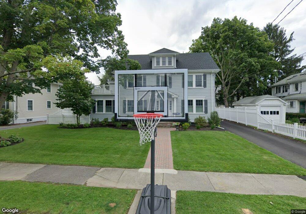
11 Prince St Needham, MA 02492
Estimated Value: $1,851,000 - $2,009,805
3
Beds
5
Baths
1,642
Sq Ft
$1,169/Sq Ft
Est. Value
About This Home
This home is located at 11 Prince St, Needham, MA 02492 and is currently estimated at $1,919,951, approximately $1,169 per square foot. 11 Prince St is a home located in Norfolk County with nearby schools including Broadmeadow Elementary School, High Rock Middle School, and Pollard Middle School.
Ownership History
Date
Name
Owned For
Owner Type
Purchase Details
Closed on
Aug 17, 2004
Sold by
Olton C Matthew and Olton Laura S
Bought by
Carroll Jane K and Carroll Keith P
Current Estimated Value
Home Financials for this Owner
Home Financials are based on the most recent Mortgage that was taken out on this home.
Original Mortgage
$696,800
Outstanding Balance
$349,198
Interest Rate
6.16%
Mortgage Type
Purchase Money Mortgage
Estimated Equity
$1,570,753
Purchase Details
Closed on
Apr 24, 1997
Sold by
Schultz Jerome J and Schultz Marlene B
Bought by
Olton C Matthew and Olton Laura S
Create a Home Valuation Report for This Property
The Home Valuation Report is an in-depth analysis detailing your home's value as well as a comparison with similar homes in the area
Home Values in the Area
Average Home Value in this Area
Purchase History
| Date | Buyer | Sale Price | Title Company |
|---|---|---|---|
| Carroll Jane K | $871,000 | -- | |
| Olton C Matthew | $387,500 | -- |
Source: Public Records
Mortgage History
| Date | Status | Borrower | Loan Amount |
|---|---|---|---|
| Open | Carroll Jane K | $696,800 | |
| Previous Owner | Olton C Matthew | $20,000 | |
| Previous Owner | Olton C Matthew | $303,000 |
Source: Public Records
Tax History
| Year | Tax Paid | Tax Assessment Tax Assessment Total Assessment is a certain percentage of the fair market value that is determined by local assessors to be the total taxable value of land and additions on the property. | Land | Improvement |
|---|---|---|---|---|
| 2025 | $19,358 | $1,826,200 | $739,400 | $1,086,800 |
| 2024 | $19,954 | $1,593,800 | $596,100 | $997,700 |
| 2023 | $19,659 | $1,507,600 | $596,100 | $911,500 |
| 2022 | $18,864 | $1,410,900 | $547,000 | $863,900 |
| 2021 | $17,800 | $1,366,100 | $547,000 | $819,100 |
| 2020 | $16,573 | $1,326,900 | $547,500 | $779,400 |
| 2019 | $13,921 | $1,123,600 | $497,700 | $625,900 |
| 2018 | $10,672 | $898,300 | $497,700 | $400,600 |
| 2017 | $10,068 | $846,800 | $497,700 | $349,100 |
| 2016 | $9,816 | $850,600 | $497,700 | $352,900 |
| 2015 | $9,603 | $850,600 | $497,700 | $352,900 |
| 2014 | $9,441 | $811,100 | $472,600 | $338,500 |
Source: Public Records
Map
Nearby Homes
- 31 Birds Hill Ave
- 126 Prince St
- 36 Otis St Unit 36
- 78 Birds Hill Ave
- 100 Bradford St
- 176 Highgate St
- 103 Aletha Rd
- 674 Webster St
- 11 Holmes St
- 190 Brookline St
- 971 Webster St
- 638 Webster St
- 638 Webster St Unit 638
- 1011 Webster St
- 60 Sutton Rd
- 1034 Webster St
- 68 Pleasant St Unit 68
- 34 Lincoln St Unit 34
- 28 Green St
- 68 Brookline St
- 17 Prince St
- 616 Great Plain Ave
- 14 Coolidge Ave
- 6 Coolidge Ave
- 12 Prince St
- 21 Prince St
- 20 Coolidge Ave
- 4 Prince St
- 18 Prince St
- 11 Coolidge Ave
- 13 Plymouth Rd
- 27 Prince St
- 26 Prince St
- 632 Great Plain Ave
- 26 Coolidge Ave
- 3 Plymouth Rd
- 3 Coolidge Ave
- 17 Coolidge Ave
- 17 Plymouth Rd
- 619 Great Plain Ave
Your Personal Tour Guide
Ask me questions while you tour the home.