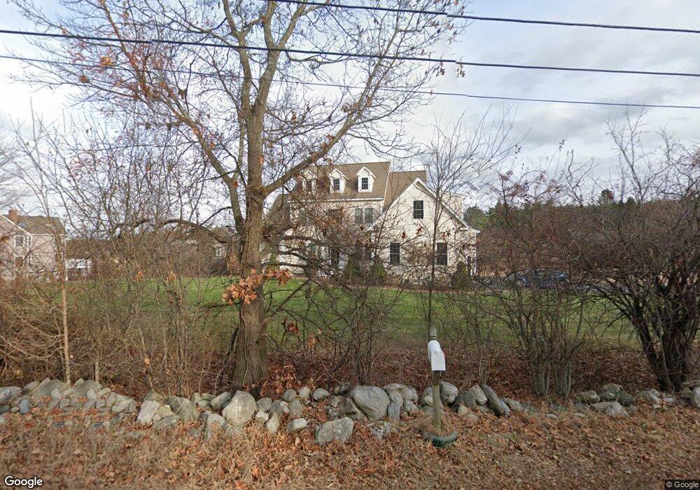
11 Randall Rd Unit 11 Berlin, MA 01503
Estimated Value: $1,041,826 - $1,185,000
4
Beds
4
Baths
3,345
Sq Ft
$328/Sq Ft
Est. Value
About This Home
This home is located at 11 Randall Rd Unit 11, Berlin, MA 01503 and is currently estimated at $1,098,609, approximately $328 per square foot. 11 Randall Rd Unit 11 is a home located in Worcester County with nearby schools including Tahanto Regional High School.
Ownership History
Date
Name
Owned For
Owner Type
Purchase Details
Closed on
Aug 3, 2012
Sold by
Monteiro Dennis C and Monteiro Denise
Bought by
Windsor Michael J and Windsor Kathleen R
Current Estimated Value
Home Financials for this Owner
Home Financials are based on the most recent Mortgage that was taken out on this home.
Original Mortgage
$417,000
Outstanding Balance
$289,285
Interest Rate
3.7%
Mortgage Type
Purchase Money Mortgage
Estimated Equity
$809,324
Purchase Details
Closed on
Jul 12, 2007
Sold by
Monteiro Dennis C and Resteghini Matthew J
Bought by
Monteiro Dennis C
Create a Home Valuation Report for This Property
The Home Valuation Report is an in-depth analysis detailing your home's value as well as a comparison with similar homes in the area
Home Values in the Area
Average Home Value in this Area
Purchase History
| Date | Buyer | Sale Price | Title Company |
|---|---|---|---|
| Windsor Michael J | $558,000 | -- | |
| Monteiro Dennis C | -- | -- |
Source: Public Records
Mortgage History
| Date | Status | Borrower | Loan Amount |
|---|---|---|---|
| Open | Windsor Michael J | $417,000 | |
| Closed | Windsor Michael J | $85,200 |
Source: Public Records
Tax History Compared to Growth
Tax History
| Year | Tax Paid | Tax Assessment Tax Assessment Total Assessment is a certain percentage of the fair market value that is determined by local assessors to be the total taxable value of land and additions on the property. | Land | Improvement |
|---|---|---|---|---|
| 2025 | $125 | $883,600 | $282,700 | $600,900 |
| 2024 | $11,266 | $883,600 | $282,700 | $600,900 |
| 2023 | $10,123 | $731,400 | $245,400 | $486,000 |
| 2022 | $9,759 | $624,400 | $205,100 | $419,300 |
| 2021 | $9,449 | $606,500 | $194,900 | $411,600 |
| 2020 | $9,536 | $603,900 | $180,600 | $423,300 |
| 2019 | $8,958 | $595,600 | $180,600 | $415,000 |
| 2018 | $8,283 | $567,300 | $168,900 | $398,400 |
| 2017 | $9,309 | $587,300 | $172,000 | $415,300 |
| 2016 | $8,731 | $549,800 | $153,600 | $396,200 |
| 2015 | $8,441 | $524,600 | $146,100 | $378,500 |
| 2014 | $8,745 | $524,600 | $146,100 | $378,500 |
Source: Public Records
Map
Nearby Homes
- 146 Randall Rd
- 152 Coburn Rd
- 98 Coburn Rd
- 339 Old Central St
- 46 West St
- 167 Lancaster Rd
- 68 Pleasant St
- 315 Central St
- 52 Village Ct
- 0 Mill Pond Rd Unit 73442819
- 11 Bigelow Dr Unit 11
- 57 Sunset Ridge Ln Unit 57
- 11 Estabrook Ln
- 508 Linwood Ct
- 445 Berlin St Unit 1
- 223 Central St
- 18 Sargent Rd
- 3 Highland Park Ave
- 611 Devenwood Way Unit 611
- 4 Jackie Way
- 11 Randall Rd
- 21 Randall Rd
- 16 Randall Rd
- 3 Randall Rd
- 4 Randall Rd
- Lot 2 Randall Rd
- 171 & 187 Highland St
- Lot1 Highland St
- Lot b Randall
- Lot1 Randall Rd
- 1 Randall Rd
- 163 Highland St
- 144 Highland St
- 151 Highland St
- 5 Randall Rd
- 188 Highland St
- 35 Randall Rd
- 40 Randall Rd
- 171 Highland St
- 147 Highland St