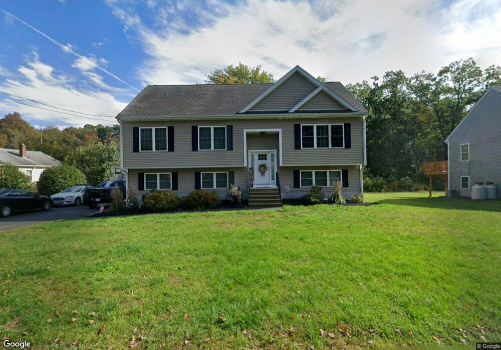
11 Range Ave Taunton, MA 02780
Wades Corner NeighborhoodEstimated Value: $606,000 - $689,000
3
Beds
3
Baths
1,724
Sq Ft
$370/Sq Ft
Est. Value
About This Home
This home is located at 11 Range Ave, Taunton, MA 02780 and is currently estimated at $637,458, approximately $369 per square foot. 11 Range Ave is a home with nearby schools including Edmund Hatch Bennett School, Benjamin Friedman Middle School, and Taunton High School.
Ownership History
Date
Name
Owned For
Owner Type
Purchase Details
Closed on
Jun 15, 2017
Sold by
Silvia Joseph W
Bought by
Silvia Joseph W and Silivia Laura
Current Estimated Value
Home Financials for this Owner
Home Financials are based on the most recent Mortgage that was taken out on this home.
Original Mortgage
$345,000
Outstanding Balance
$286,968
Interest Rate
4.02%
Mortgage Type
Commercial
Estimated Equity
$350,490
Create a Home Valuation Report for This Property
The Home Valuation Report is an in-depth analysis detailing your home's value as well as a comparison with similar homes in the area
Home Values in the Area
Average Home Value in this Area
Purchase History
| Date | Buyer | Sale Price | Title Company |
|---|---|---|---|
| Silvia Joseph W | -- | -- | |
| Silvia Joseph W | $345,000 | -- |
Source: Public Records
Mortgage History
| Date | Status | Borrower | Loan Amount |
|---|---|---|---|
| Open | Silvia Joseph W | $345,000 |
Source: Public Records
Tax History
| Year | Tax Paid | Tax Assessment Tax Assessment Total Assessment is a certain percentage of the fair market value that is determined by local assessors to be the total taxable value of land and additions on the property. | Land | Improvement |
|---|---|---|---|---|
| 2025 | $6,280 | $574,000 | $143,600 | $430,400 |
| 2024 | $5,756 | $514,400 | $143,600 | $370,800 |
| 2023 | $5,831 | $483,900 | $150,100 | $333,800 |
| 2022 | $5,565 | $422,200 | $116,400 | $305,800 |
| 2021 | $5,301 | $373,300 | $105,800 | $267,500 |
| 2020 | $5,142 | $346,000 | $105,800 | $240,200 |
| 2019 | $3,844 | $334,700 | $109,300 | $225,400 |
| 2018 | $5,018 | $319,200 | $110,400 | $208,800 |
Source: Public Records
Map
Nearby Homes
- 0 Range Ave Unit 72771508
- 0 Range Ave Unit 72771509
- 29 Range Ave
- Lot 3 Rocky Woods St
- 0 Kimberly Rd
- 140 N Walker St Unit 511
- Lot A Glebe St
- 620 Burt St
- 88 Morgan Dr
- 2201 Wheeler St
- 985 Glebe St
- 233-R Summer St
- 321 Winthrop St Unit 106
- 1421 Tremont St
- 263 Summer St
- Lot 6 Tremont St
- 810 Tremont St
- 168 Run Brook Cir
- 170 Highland St Unit 115
- 0 Monteiro Unit 71870472
- 13 Range Ave
- 9 Range Ave
- 15 Range Ave
- 545 Winthrop St
- 14 Range Ave
- 1 Range Ave
- 2 Range Ave
- 19 Range Ave
- 16 Range Ave
- 0 Range Ave Unit 71789568
- 0 Range Ave Unit 72170222
- 0 Range Ave Unit 73158802
- 0 Range Ave Unit 73150656
- 0 Range Ave Unit 1262053
- 0 Range Ave Unit 1262057
- 0 Range Ave Unit 73037740
- 0 Range Ave Unit 73037737
- 0 Range Ave Unit 1272708
- 0 Range Ave Unit 1272716
- 0 Range Ave Unit 72771510
Your Personal Tour Guide
Ask me questions while you tour the home.