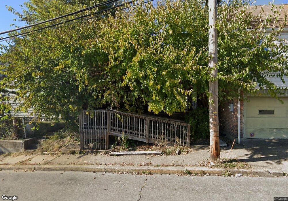
11 Rapp St Leetsdale, PA 15056
Estimated Value: $137,000 - $165,000
3
Beds
1
Bath
1,560
Sq Ft
$96/Sq Ft
Est. Value
About This Home
This home is located at 11 Rapp St, Leetsdale, PA 15056 and is currently estimated at $149,894, approximately $96 per square foot. 11 Rapp St is a home located in Allegheny County with nearby schools including Quaker Valley Middle School, Quaker Valley High School, and Sewickley Academy.
Ownership History
Date
Name
Owned For
Owner Type
Purchase Details
Closed on
Sep 2, 2025
Sold by
Delancey Crystal and Sewell Timothy
Bought by
Barrett Christopher and Mitchell Alex L
Current Estimated Value
Purchase Details
Closed on
Aug 15, 2022
Sold by
Sewell David J and Sewell Karmelita A
Bought by
Delancey Crystal and Sewell Timothy
Purchase Details
Closed on
Aug 4, 2022
Sold by
Sewell David J and Sewell Karmelita A
Bought by
Sewell Timothy
Purchase Details
Closed on
May 9, 2001
Sold by
Household Finance Corp
Bought by
Sewell Sheila A
Purchase Details
Closed on
Mar 24, 1999
Sold by
Kumer Phyllis and Bennett Marcella P
Bought by
Household Finance Corp
Purchase Details
Closed on
Jan 1, 1900
Create a Home Valuation Report for This Property
The Home Valuation Report is an in-depth analysis detailing your home's value as well as a comparison with similar homes in the area
Home Values in the Area
Average Home Value in this Area
Purchase History
| Date | Buyer | Sale Price | Title Company |
|---|---|---|---|
| Barrett Christopher | $2,000 | -- | |
| Barrett Christopher | $2,000 | -- | |
| Sewell Timothy | -- | -- | |
| Timothy Sewell | $1 | -- | |
| Sewell Sheila A | $34,250 | -- | |
| Household Finance Corp | $4,788 | -- | |
| -- | -- | -- | |
| Delancey Crystal | -- | -- |
Source: Public Records
Tax History Compared to Growth
Tax History
| Year | Tax Paid | Tax Assessment Tax Assessment Total Assessment is a certain percentage of the fair market value that is determined by local assessors to be the total taxable value of land and additions on the property. | Land | Improvement |
|---|---|---|---|---|
| 2025 | $2,316 | $67,400 | $15,300 | $52,100 |
| 2024 | $2,316 | $67,400 | $15,300 | $52,100 |
| 2023 | $2,276 | $67,400 | $15,300 | $52,100 |
| 2022 | $2,238 | $67,400 | $15,300 | $52,100 |
| 2021 | $319 | $67,400 | $15,300 | $52,100 |
| 2020 | $2,305 | $67,400 | $15,300 | $52,100 |
| 2019 | $2,267 | $67,400 | $15,300 | $52,100 |
| 2018 | $319 | $67,400 | $15,300 | $52,100 |
| 2017 | $2,188 | $67,400 | $15,300 | $52,100 |
| 2016 | $319 | $67,400 | $15,300 | $52,100 |
| 2015 | $319 | $67,400 | $15,300 | $52,100 |
| 2014 | $2,149 | $67,400 | $15,300 | $52,100 |
Source: Public Records
Map
Nearby Homes
- 317 Beaver St
- 318-320 Beaver St
- 30 1st St
- 116 Colonial Dr
- 143 Pilgrim Dr
- 134 Pilgrim Dr
- 623 Beaver St
- 121 Pilgrim Dr
- 347 Washington St
- 0 Beaver St Unit 1682861
- 140 Mcgovern Blvd
- 73 Mcgovern Blvd
- 749 School St
- 694 Oak St
- 301 Church Ln
- 86 Main St
- 51 Mcgovern Blvd
- 20 Beech St
- 42 Mcgovern Blvd
- 5 Ambridge Ave
- 40 Ohio River Blvd
- 42 Ohio River Blvd
- 117 Broad St
- 38 Ohio River Blvd
- 36 Ohio River Blvd
- 111 Broad St
- 10 Rapp St
- 50 Ohio River Blvd
- 109 Broad St
- 32 Ohio River Blvd
- 107 Broad St
- 127 Broad St
- 30 Ohio River Blvd
- 30 Ohio River Blvd
- 129 Broad St
- 116 Broad St
- 118 Broad St
- 118 Broad St Unit C
- 118 Broad St Unit B
- 118 Broad St Unit A