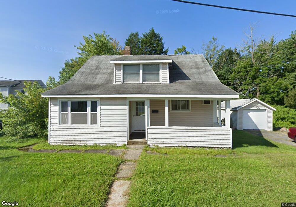
11 Reynolds St Worcester, MA 01606
Summit NeighborhoodEstimated Value: $389,000 - $411,000
3
Beds
1
Bath
1,209
Sq Ft
$330/Sq Ft
Est. Value
About This Home
This home is located at 11 Reynolds St, Worcester, MA 01606 and is currently estimated at $398,769, approximately $329 per square foot. 11 Reynolds St is a home located in Worcester County with nearby schools including Norrback Avenue Elementary School, Jacob Hiatt Magnet School, and Chandler Magnet.
Ownership History
Date
Name
Owned For
Owner Type
Purchase Details
Closed on
Sep 26, 2002
Sold by
Raden David L and Selva Erica M
Bought by
Martin Joshua S
Current Estimated Value
Home Financials for this Owner
Home Financials are based on the most recent Mortgage that was taken out on this home.
Original Mortgage
$157,625
Outstanding Balance
$66,517
Interest Rate
6.25%
Mortgage Type
Purchase Money Mortgage
Estimated Equity
$332,252
Purchase Details
Closed on
Aug 25, 1989
Sold by
Kirby Megan
Bought by
Raden David
Home Financials for this Owner
Home Financials are based on the most recent Mortgage that was taken out on this home.
Original Mortgage
$89,600
Interest Rate
9.67%
Mortgage Type
Purchase Money Mortgage
Create a Home Valuation Report for This Property
The Home Valuation Report is an in-depth analysis detailing your home's value as well as a comparison with similar homes in the area
Home Values in the Area
Average Home Value in this Area
Purchase History
| Date | Buyer | Sale Price | Title Company |
|---|---|---|---|
| Martin Joshua S | $162,500 | -- | |
| Raden David | $112,000 | -- |
Source: Public Records
Mortgage History
| Date | Status | Borrower | Loan Amount |
|---|---|---|---|
| Open | Raden David | $157,625 | |
| Previous Owner | Raden David | $91,000 | |
| Previous Owner | Raden David | $90,000 | |
| Previous Owner | Raden David | $89,600 |
Source: Public Records
Tax History
| Year | Tax Paid | Tax Assessment Tax Assessment Total Assessment is a certain percentage of the fair market value that is determined by local assessors to be the total taxable value of land and additions on the property. | Land | Improvement |
|---|---|---|---|---|
| 2025 | $4,234 | $321,000 | $118,200 | $202,800 |
| 2024 | $4,092 | $297,600 | $118,200 | $179,400 |
| 2023 | $3,909 | $272,600 | $102,800 | $169,800 |
| 2022 | $3,573 | $234,900 | $82,200 | $152,700 |
| 2021 | $3,359 | $206,300 | $65,800 | $140,500 |
| 2020 | $3,228 | $189,900 | $65,800 | $124,100 |
| 2019 | $3,100 | $172,200 | $59,200 | $113,000 |
| 2018 | $3,113 | $164,600 | $59,200 | $105,400 |
| 2017 | $2,996 | $155,900 | $59,200 | $96,700 |
| 2016 | $2,902 | $140,800 | $43,200 | $97,600 |
| 2015 | $2,826 | $140,800 | $43,200 | $97,600 |
| 2014 | $2,751 | $140,800 | $43,200 | $97,600 |
Source: Public Records
Map
Nearby Homes
- 10 Malden St
- 31 Danielles Way
- 22 Danielles Way
- 26 Danielles Way
- 39 Mountainshire Dr
- 10 Beale St
- 12 Beale St
- 1110 W Boylston St Unit A
- 93 Blue Bell Rd
- 55 Apthorp St
- 47 Eustis St
- 4 Winston Rd
- 69 Santoro Rd
- 33 Santoro Rd
- 71 Hillside Village Dr
- 30 Danielles Way
- 18 Danielles Way
- 30 Osgood Ave
- 48 Whispering Pine Cir Unit 48
- 12 Pinecroft Ave
- 9 Reynolds St
- 0 Reynolds St Unit 71487066
- 15 Reynolds St
- 6 Malden Terrace
- 12 Reynolds St
- 5 Reynolds St
- 8 Reynolds St
- 10 Malden St Unit 1ST
- 14 Reynolds St
- 4 Malden Terrace Unit 1
- 4 Malden Terrace
- 12 Malden St
- 17 Reynolds St
- 8 Malden St
- 2 Malden Terrace Unit 1
- 2 Malden Terrace
- 915 W Boylston St
- 915 W Boylston St Unit 2
- 1 Reynolds St
- 18 Reynolds St
Your Personal Tour Guide
Ask me questions while you tour the home.