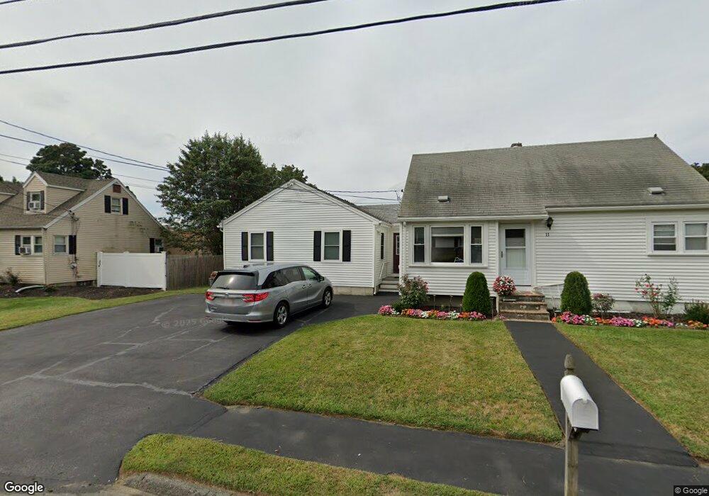
11 Richard Cir Unit 1 Woburn, MA 01801
Mishawum NeighborhoodEstimated Value: $771,000 - $924,000
4
Beds
2
Baths
2,035
Sq Ft
$417/Sq Ft
Est. Value
About This Home
This home is located at 11 Richard Cir Unit 1, Woburn, MA 01801 and is currently estimated at $848,588, approximately $416 per square foot. 11 Richard Cir Unit 1 is a home located in Middlesex County with nearby schools including Joshua Eaton Elementary School, Walter S. Parker Middle School, and Reading Memorial High School.
Ownership History
Date
Name
Owned For
Owner Type
Purchase Details
Closed on
Jun 3, 2013
Sold by
Mari Jean A
Bought by
Patel Manishkumar and Patel Sharda K
Current Estimated Value
Home Financials for this Owner
Home Financials are based on the most recent Mortgage that was taken out on this home.
Original Mortgage
$150,000
Outstanding Balance
$33,598
Interest Rate
3.45%
Mortgage Type
New Conventional
Estimated Equity
$814,990
Create a Home Valuation Report for This Property
The Home Valuation Report is an in-depth analysis detailing your home's value as well as a comparison with similar homes in the area
Home Values in the Area
Average Home Value in this Area
Purchase History
| Date | Buyer | Sale Price | Title Company |
|---|---|---|---|
| Patel Manishkumar | $370,000 | -- | |
| Patel Manishkumar | $370,000 | -- |
Source: Public Records
Mortgage History
| Date | Status | Borrower | Loan Amount |
|---|---|---|---|
| Open | Patel Manishkumar | $150,000 | |
| Closed | Patel Manishkumar | $150,000 |
Source: Public Records
Tax History Compared to Growth
Tax History
| Year | Tax Paid | Tax Assessment Tax Assessment Total Assessment is a certain percentage of the fair market value that is determined by local assessors to be the total taxable value of land and additions on the property. | Land | Improvement |
|---|---|---|---|---|
| 2025 | $6,090 | $713,100 | $328,800 | $384,300 |
| 2024 | $5,473 | $679,000 | $313,100 | $365,900 |
| 2023 | $5,483 | $630,200 | $284,700 | $345,500 |
| 2022 | $5,343 | $572,100 | $247,500 | $324,600 |
| 2021 | $5,034 | $539,500 | $235,800 | $303,700 |
| 2020 | $4,768 | $511,600 | $235,800 | $275,800 |
| 2019 | $4,693 | $494,000 | $224,500 | $269,500 |
| 2018 | $4,514 | $456,400 | $206,000 | $250,400 |
| 2017 | $4,212 | $423,700 | $196,200 | $227,500 |
| 2016 | $4,051 | $403,100 | $183,300 | $219,800 |
| 2015 | $3,905 | $384,000 | $171,300 | $212,700 |
| 2014 | $3,601 | $344,900 | $171,300 | $173,600 |
Source: Public Records
Map
Nearby Homes
- 75 Border Rd
- 246 Walnut St
- 13 Elaine Rd
- 175 West St
- 89 Walnut St
- 57 Wescroft Rd
- 18 Wescroft Rd
- 295 Salem St Unit 42
- 295 Salem St Unit 69
- 62 Abigail Way Unit 2007
- 62 Abigail Way Unit 3004
- 266 West St
- 36 Forest St
- 97 Oak St
- 3 Highet Ave
- 16 Munroe Ave
- 85 Oak St
- 7 Leaning Elm Dr Unit 7
- 6 Callahan Dr
- 101 King St Unit 101