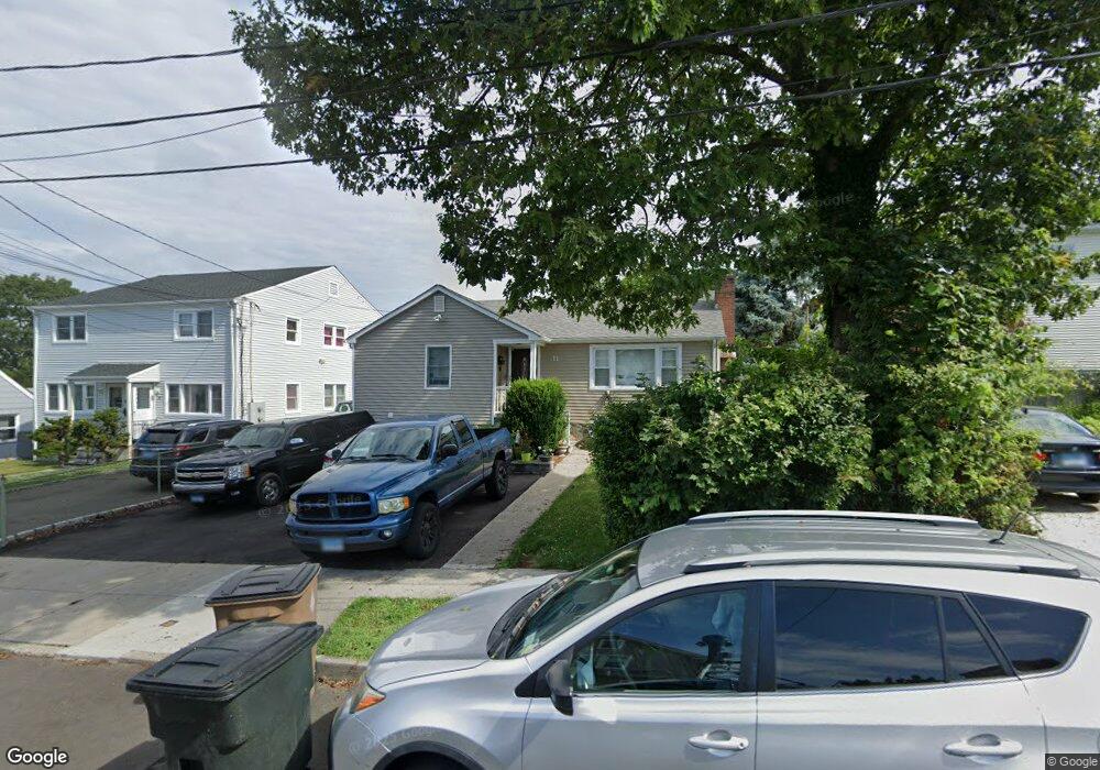
11 Robert Ct Stamford, CT 06902
The Cove NeighborhoodEstimated Value: $462,000 - $555,962
3
Beds
1
Bath
952
Sq Ft
$537/Sq Ft
Est. Value
About This Home
This home is located at 11 Robert Ct, Stamford, CT 06902 and is currently estimated at $511,241, approximately $537 per square foot. 11 Robert Ct is a home located in Fairfield County with nearby schools including K. T. Murphy Elementary School, Rippowam Middle School, and Stamford High School.
Ownership History
Date
Name
Owned For
Owner Type
Purchase Details
Closed on
Mar 2, 2017
Sold by
Zurzola Genevieve L
Bought by
Zurzola James F
Current Estimated Value
Purchase Details
Closed on
Mar 6, 2014
Sold by
Zurzola Frank
Bought by
Zurzola Genevieve L
Purchase Details
Closed on
Mar 28, 1962
Bought by
Zurzola Genevieve L
Create a Home Valuation Report for This Property
The Home Valuation Report is an in-depth analysis detailing your home's value as well as a comparison with similar homes in the area
Home Values in the Area
Average Home Value in this Area
Purchase History
| Date | Buyer | Sale Price | Title Company |
|---|---|---|---|
| Zurzola James F | $270,000 | -- | |
| Zurzola James F | $270,000 | -- | |
| Zurzola Genevieve L | -- | -- | |
| Zurzola Genevieve L | -- | -- | |
| Zurzola Genevieve L | -- | -- |
Source: Public Records
Mortgage History
| Date | Status | Borrower | Loan Amount |
|---|---|---|---|
| Previous Owner | Zurzola Genevieve L | $120,000 | |
| Previous Owner | Zurzola Genevieve L | $275,000 |
Source: Public Records
Tax History
| Year | Tax Paid | Tax Assessment Tax Assessment Total Assessment is a certain percentage of the fair market value that is determined by local assessors to be the total taxable value of land and additions on the property. | Land | Improvement |
|---|---|---|---|---|
| 2025 | $6,755 | $282,400 | $181,650 | $100,750 |
| 2024 | $6,597 | $282,400 | $181,650 | $100,750 |
| 2023 | $7,128 | $282,400 | $181,650 | $100,750 |
| 2022 | $5,978 | $220,020 | $131,640 | $88,380 |
| 2021 | $5,927 | $220,020 | $131,640 | $88,380 |
| 2020 | $5,798 | $220,020 | $131,640 | $88,380 |
| 2019 | $5,798 | $220,020 | $131,640 | $88,380 |
| 2018 | $5,617 | $220,020 | $131,640 | $88,380 |
| 2017 | $5,052 | $187,890 | $103,010 | $84,880 |
| 2016 | $4,908 | $187,890 | $103,010 | $84,880 |
| 2015 | $4,778 | $187,890 | $103,010 | $84,880 |
| 2014 | $4,658 | $187,890 | $103,010 | $84,880 |
Source: Public Records
Map
Nearby Homes
- 656 Cove Rd
- 75 van Buskirk Ave Unit 75
- 697 Cove Rd Unit 1B
- 697 Cove Rd Unit 2A
- 240 Wardwell St Unit 26
- 21 Saint Benedict Cir
- 74 Palmer Ave
- 55 Avery St
- 85 Avery St
- 421 Sylvan Knoll Rd
- 104 Sylvan Knoll Rd
- 154 Lockwood Ave
- 114 Sylvan Knoll Rd
- 274 Sylvan Knoll Rd
- 254 Seaside Ave Unit A
- 209 Seaside Ave Unit 2
- 950 Cove Rd Unit B6
- 14 Park St
- 107 Lockwood Ave Unit 1B
- 75 Frank St
Your Personal Tour Guide
Ask me questions while you tour the home.