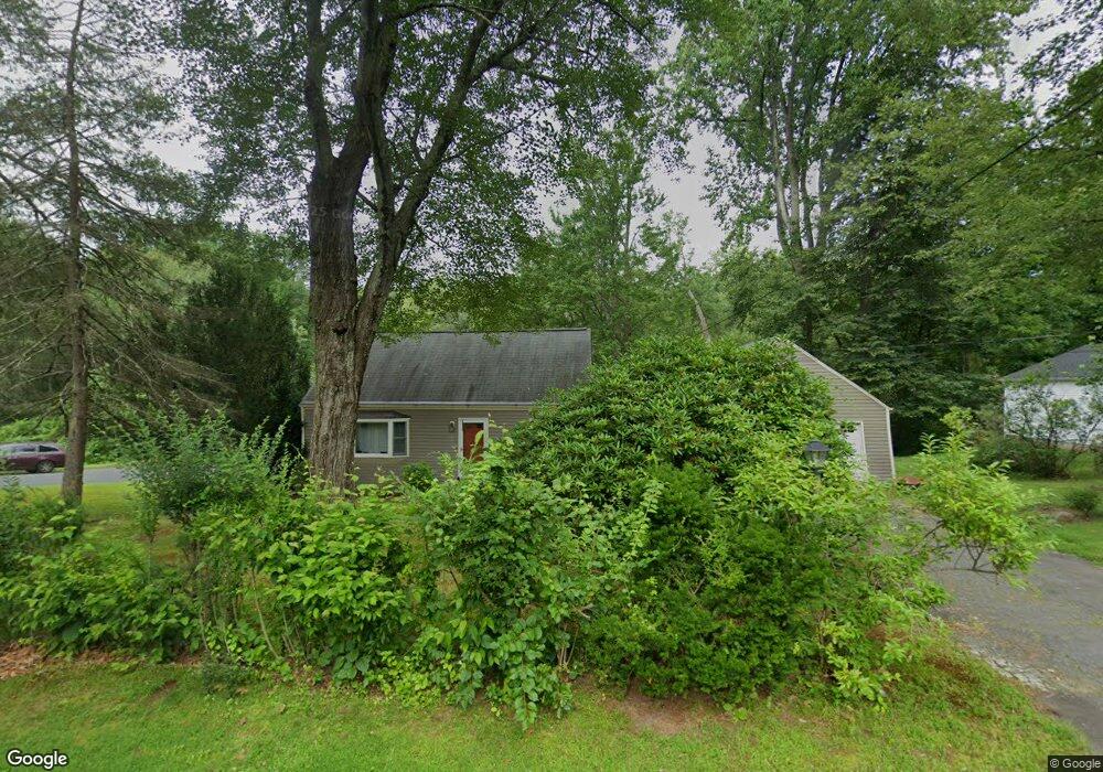
11 Robin Rd Simsbury, CT 06070
Estimated Value: $408,000 - $455,000
3
Beds
2
Baths
1,481
Sq Ft
$294/Sq Ft
Est. Value
About This Home
This home is located at 11 Robin Rd, Simsbury, CT 06070 and is currently estimated at $435,935, approximately $294 per square foot. 11 Robin Rd is a home located in Hartford County with nearby schools including Squadron Line School, Henry James Memorial School, and Simsbury High School.
Create a Home Valuation Report for This Property
The Home Valuation Report is an in-depth analysis detailing your home's value as well as a comparison with similar homes in the area
Home Values in the Area
Average Home Value in this Area
Tax History Compared to Growth
Tax History
| Year | Tax Paid | Tax Assessment Tax Assessment Total Assessment is a certain percentage of the fair market value that is determined by local assessors to be the total taxable value of land and additions on the property. | Land | Improvement |
|---|---|---|---|---|
| 2025 | $6,963 | $203,840 | $73,010 | $130,830 |
| 2024 | $6,790 | $203,840 | $73,010 | $130,830 |
| 2023 | $6,486 | $203,840 | $73,010 | $130,830 |
| 2022 | $5,688 | $147,240 | $72,820 | $74,420 |
| 2021 | $5,688 | $147,240 | $72,820 | $74,420 |
| 2020 | $5,461 | $147,240 | $72,820 | $74,420 |
| 2019 | $5,495 | $147,240 | $72,820 | $74,420 |
| 2018 | $5,535 | $147,240 | $72,820 | $74,420 |
| 2017 | $5,305 | $136,880 | $72,820 | $64,060 |
| 2016 | $5,081 | $136,880 | $72,830 | $64,050 |
| 2015 | $5,081 | $136,880 | $72,830 | $64,050 |
| 2014 | $5,084 | $136,880 | $72,830 | $64,050 |
Source: Public Records
Map
Nearby Homes
- 324 Firetown Rd
- 9 Gretel Ln
- 25 Barry Ln
- 2 North Dr
- 49 Carver Cir
- 45 Hoskins Rd
- 87 Cambridge Ct
- 68 Cambridge Ct
- 59 Cambridge Ct
- 247 Old Farms Rd
- 62 Cambridge Ct
- 69 Cambridge Ct
- 48 Library Ln Unit 48
- 19 Simsbury Landing
- 10 Pepperidge Ct
- 5 Washington Dr
- 14 Brettonwood Dr
- 18 Meadowlark Rd
- 3 Stebbins Brook Ln
- 4 Stebbins Brook Ln