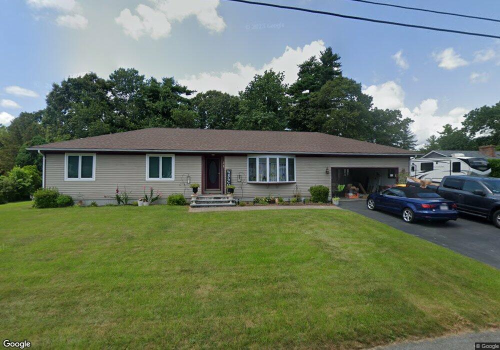
11 Rock Cress Ln Acushnet, MA 02743
Upper Acushnet NeighborhoodEstimated Value: $569,000 - $630,000
--
Bed
2
Baths
2,085
Sq Ft
$287/Sq Ft
Est. Value
About This Home
This home is located at 11 Rock Cress Ln, Acushnet, MA 02743 and is currently estimated at $598,189, approximately $286 per square foot. 11 Rock Cress Ln is a home located in Bristol County with nearby schools including Acushnet Elementary School, Albert F Ford Middle School, and Alma Del Mar Charter School.
Ownership History
Date
Name
Owned For
Owner Type
Purchase Details
Closed on
May 24, 2018
Sold by
Cunha Maria C and Cunha Jose A
Bought by
Cunha Jose A and Cunha Maria C
Current Estimated Value
Create a Home Valuation Report for This Property
The Home Valuation Report is an in-depth analysis detailing your home's value as well as a comparison with similar homes in the area
Home Values in the Area
Average Home Value in this Area
Purchase History
| Date | Buyer | Sale Price | Title Company |
|---|---|---|---|
| Cunha Jose A | -- | -- |
Source: Public Records
Tax History Compared to Growth
Tax History
| Year | Tax Paid | Tax Assessment Tax Assessment Total Assessment is a certain percentage of the fair market value that is determined by local assessors to be the total taxable value of land and additions on the property. | Land | Improvement |
|---|---|---|---|---|
| 2025 | $54 | $497,100 | $162,200 | $334,900 |
| 2024 | $5,200 | $455,700 | $153,300 | $302,400 |
| 2023 | $4,982 | $415,200 | $132,700 | $282,500 |
| 2022 | $4,910 | $370,000 | $126,800 | $243,200 |
| 2021 | $21 | $342,800 | $126,800 | $216,000 |
| 2020 | $5,305 | $342,800 | $126,800 | $216,000 |
| 2019 | $4,756 | $335,400 | $129,700 | $205,700 |
| 2018 | $1,892 | $319,500 | $129,700 | $189,800 |
| 2017 | $4,488 | $310,800 | $129,700 | $181,100 |
| 2016 | $4,286 | $295,000 | $120,900 | $174,100 |
| 2015 | $4,301 | $301,200 | $120,900 | $180,300 |
Source: Public Records
Map
Nearby Homes
- 9 Rock Cress Ln
- 15 Rock Cress Ln
- 8 Rock Cress Ln
- 10 Rock Cress Ln
- 14 Balsam Brook Ln
- 7 Rock Cress Ln
- 11 Balsam Brook Ln
- 12 Balsam Brook Ln
- 4 Rock Cress Ln
- 5 Rock Cress Ln
- 3 Snap Weed Ln
- 3 Rock Cress Ln
- 2 Snap Weed Ln
- 4 Snap Weed Ln
- 1 Rock Cress Ln
- 7 Balsam Brook Ln
- 11 Snap Weed Ln
- 7 Snap Weed Ln
- 6 Snap Weed Ln
- 5 Balsam Brook Ln