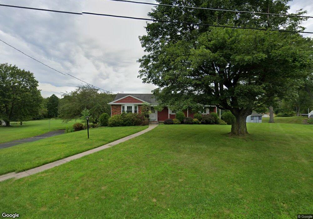
11 Rolland Dr Branchburg, NJ 08876
Branchburg Township NeighborhoodEstimated Value: $508,000 - $613,525
--
Bed
--
Bath
1,712
Sq Ft
$325/Sq Ft
Est. Value
About This Home
This home is located at 11 Rolland Dr, Branchburg, NJ 08876 and is currently estimated at $557,131, approximately $325 per square foot. 11 Rolland Dr is a home located in Somerset County with nearby schools including Whiton Elementary School, Stony Brook School, and Branchburg Central Middle School.
Ownership History
Date
Name
Owned For
Owner Type
Purchase Details
Closed on
Mar 28, 2025
Sold by
Rohlfing Stephan M
Bought by
Mcmonagle Matthew and Mcmonagle Victoria
Current Estimated Value
Home Financials for this Owner
Home Financials are based on the most recent Mortgage that was taken out on this home.
Original Mortgage
$390,000
Interest Rate
5.82%
Mortgage Type
New Conventional
Purchase Details
Closed on
Jun 12, 2020
Sold by
Rohifing Stephan M and Estate Of Anne R Rohlfing
Bought by
Rohifing Stephan M
Create a Home Valuation Report for This Property
The Home Valuation Report is an in-depth analysis detailing your home's value as well as a comparison with similar homes in the area
Home Values in the Area
Average Home Value in this Area
Purchase History
| Date | Buyer | Sale Price | Title Company |
|---|---|---|---|
| Mcmonagle Matthew | $490,000 | Westcor Land Title | |
| Mcmonagle Matthew | $490,000 | Westcor Land Title | |
| Rohifing Stephan M | -- | None Available |
Source: Public Records
Mortgage History
| Date | Status | Borrower | Loan Amount |
|---|---|---|---|
| Previous Owner | Mcmonagle Matthew | $390,000 |
Source: Public Records
Tax History Compared to Growth
Tax History
| Year | Tax Paid | Tax Assessment Tax Assessment Total Assessment is a certain percentage of the fair market value that is determined by local assessors to be the total taxable value of land and additions on the property. | Land | Improvement |
|---|---|---|---|---|
| 2025 | $8,699 | $524,300 | $170,000 | $354,300 |
| 2024 | $8,699 | $482,200 | $170,000 | $312,200 |
| 2023 | $8,416 | $449,800 | $170,000 | $279,800 |
| 2022 | $8,402 | $426,700 | $170,000 | $256,700 |
| 2021 | $8,338 | $401,100 | $170,000 | $231,100 |
| 2020 | $8,379 | $391,000 | $170,000 | $221,000 |
| 2019 | $8,338 | $386,900 | $170,000 | $216,900 |
| 2018 | $8,246 | $381,600 | $161,300 | $220,300 |
| 2017 | $8,130 | $373,600 | $156,300 | $217,300 |
| 2016 | $7,943 | $362,700 | $146,300 | $216,400 |
| 2015 | $7,793 | $356,500 | $141,300 | $215,200 |
| 2014 | $7,767 | $359,600 | $141,300 | $218,300 |
Source: Public Records
Map
Nearby Homes
- 1135 State Route 28
- 1114 State Route 28
- 40 France Dr
- 2 Dumont Ct
- 3366 Us Highway 22
- 596 Meadow Rd
- 319 Hannah Way
- 265 Riverview Dr
- 305 Saratoga Ct
- 351 Route 28
- 4101 Dilts Ln
- 2905 Johnson Cir Unit 29E
- 43 Wexford Way
- 420 Azalea Terrace
- 4703 Patterson St Unit 47
- 615 Magnolia Ln
- 818 Magnolia Ln
- 215 Readington Rd
- 5 Walnut Dr
- 34 Iroquois Trail